Photos: USFS · courtesy of Recreation.gov. Click a photo to enlarge.
Little Naches Campground
Overview
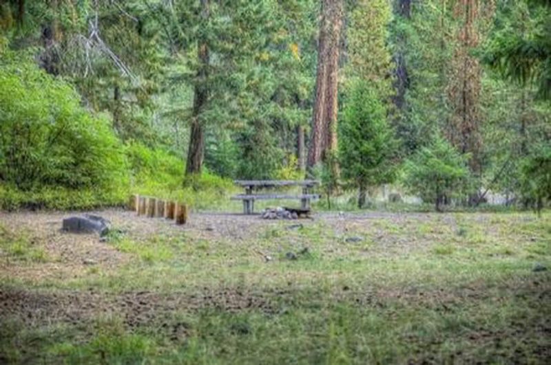
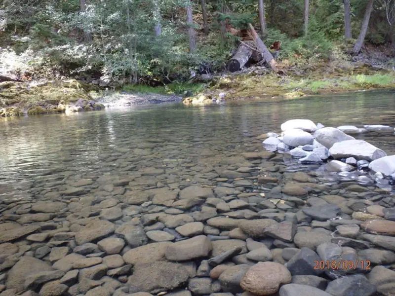
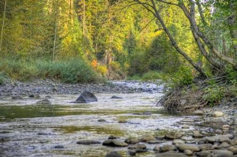
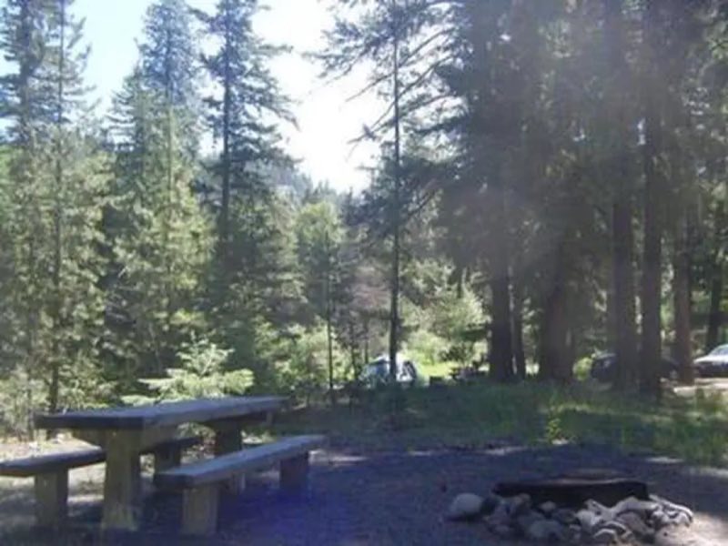
Little Naches Campground is located along the Naches River in the Northern Cascades Range of Washington, where craggy peaks, mountain meadows and old-growth forests provide visitors with wild and scenic landscapes.
- Operator
- National Forest
- Camping types
- RV, Tent
- Sites
- 17 campsites
- Fee
- From $8 per night (confirm with the operator)
- Reservations
- Reservable online
- Phone
- 541-338-7869
Amenities
Location
Nearby adventures
Hikes and trailheads
- Kaner Flat Group SiteShow on map
- Indian Flat Group SiteShow on map
- American Ridge Trail
Provides access to: American Ridge Trail #958 within William O. Recreation.gov
Show on map - American River Guard StationShow on map
- Indian Flat Trail
A trail from State Route 410 to West Quartz Creek Loop Trail.
Show on map - Boulder Cave TrailShow on map
Mountain biking
- Quartz Mountain Trail
A mountain-bike route from Forest Road 1904-740 to Manastash RidgeTrail.
Show on map - Pyramid Peak TrailShow on map
- Manastash Ridge TrailShow on map
- Mount Clifty Trail
A mountain-bike route from Forest Road 1905 to Manastash Ridge.
Show on map
Scenic sights
- Deadhorse HillShow on map
- Horsetail Falls ViewpointShow on map
- Horsetail Falls
A 49-foot waterfall.
Show on map - Quartz Mountain
A peak near Manastash Ridge Trail.
Show on map - Fife's Peak Viewpoint
A viewpoint near Crow Lake Way Trail.
Show on map
Climbing and snow sports
- Crystal Mountain
Crystal Mountain is a mountain and alpine ski area in eastern Pierce County, Washington, United States, located in the Cascade Range southeast of Seattle. Wikipedia
Show on map - Moon RocksShow on map
- Lava PointShow on map
Trail and sight data: Recreation.gov and OpenStreetMap contributors (ODbL). Text marked Wikipedia is from Wikipedia under CC BY-SA 4.0, lightly shortened.
Reviews
Data sources
Listing details come from the sources above and may be out of date. Confirm fees, dates and closures with the operator before you travel.