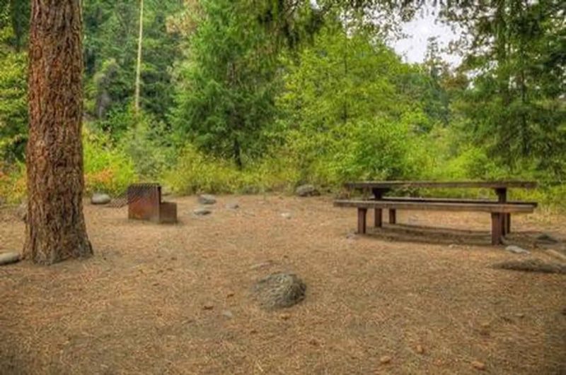
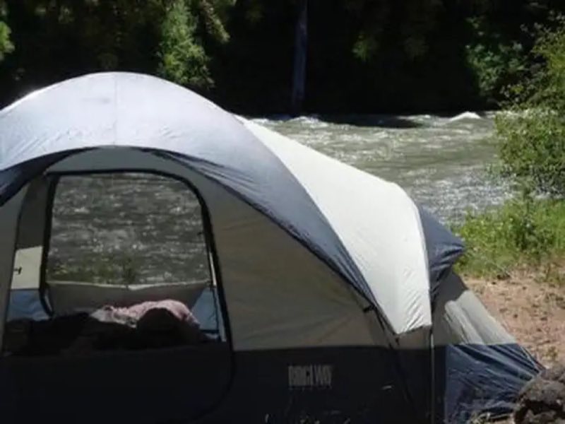
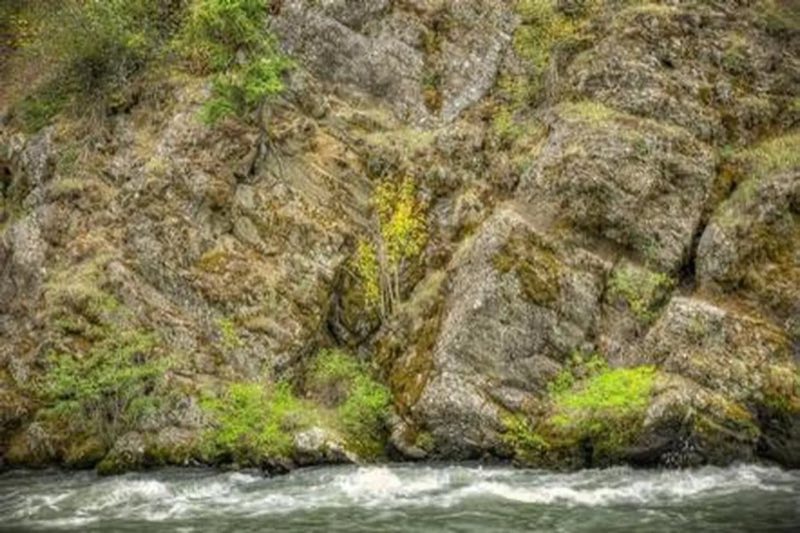
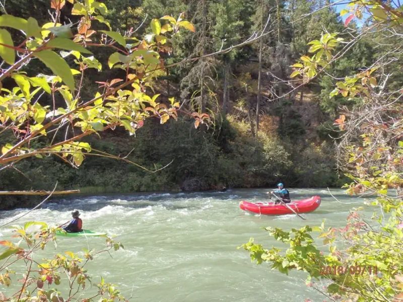
Photos: USFS · courtesy of Recreation.gov. Click a photo to enlarge.
Willows Campground
National ForestWashingtonRVTent
Overview
Willows Campground sits on the eastern slopes of the Cascade Mountains at the southern end of the Okanogan-Wenatchee National Forest, offering visitors some of the most stunning scenery in Washington and easy access to an abundance of recreational activities.
- Operator
- National Forest
- Camping types
- RV, Tent
- Sites
- 16 campsites
- Reservations
- Reservable online
- Phone
- 541-338-7869
Amenities
🥾Hiking
🎣Fishing
🚻Toilets
💧Potable Water
🐕Pets OK
🔥Campfires OK
Location
Nearby adventures
Hikes and trailheads
- William O. Douglas TrailShow on map
- Willow Tree TrailheadShow on map
- Kitten Creek TrailheadShow on map
- Wildcat TrailheadShow on map
- PCT - Washington Section H
A long-distance route from Cascade Locks to Hwy 12.
Show on map - PCT - Washington Section H
A long-distance route from Cascade Locks to Hwy 12.
Show on map
Mountain biking
- Quartz Mountain Trail
A mountain-bike route from Forest Road 1904-740 to Manastash RidgeTrail.
Show on map - Pyramid Peak TrailShow on map
Scenic sights
- Jump Off LookoutShow on map
- Chimney PeaksShow on map
- Tieton DamShow on map
- Clear Creek Falls
A 228-foot waterfall.
Show on map - South Fork FallsShow on map
Climbing and snow sports
- Lava PointShow on map
- The CaveShow on map
- Moon RocksShow on map
Trail and sight data: OpenStreetMap contributors (ODbL).
Reviews
Been here? Leave a review
Data sources
Listing details come from the sources above and may be out of date. Confirm fees, dates and closures with the operator before you travel.