Photos: NPS Photo, NPS · courtesy of Recreation.gov. Click a photo to enlarge.
Voyageurs National Park Camping Permits
Overview
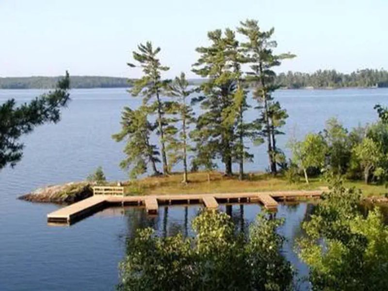
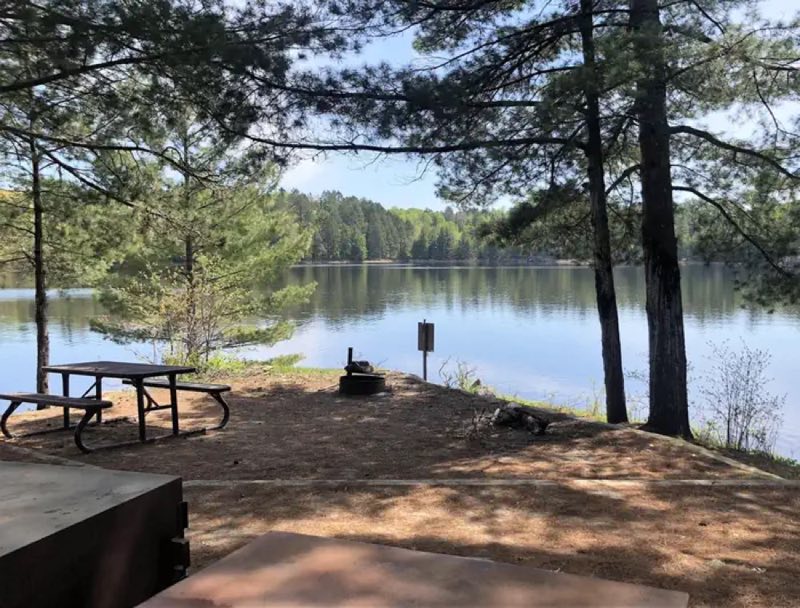
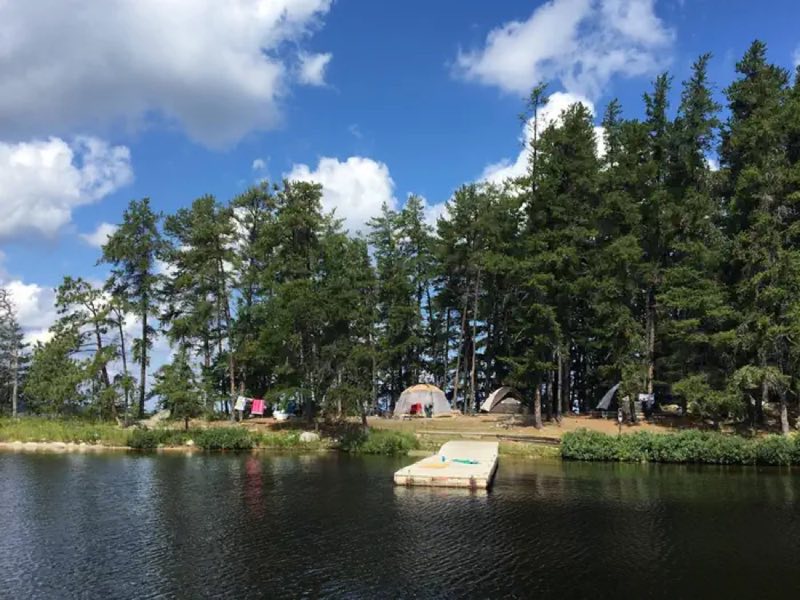
PLEASE READ IMPORTANT INFORMATION BELOW TO UNDERSTAND HOW TO CAMP AT VOYAGEURS NATIONAL PARK ** All frontcountry and backcountry campsites require travel by private watercraft or water taxi to access. Click on any campsite name when searching sites to view boating distances.
- Operator
- National Park
- Camping types
- RV, Tent
- Fee
- From $10 per night (confirm with the operator)
- Reservations
- Reservable online
- Phone
- (218) 283-6600
Amenities
Location
Nearby adventures
Hikes and trailheads
- Oberholtzer Trail
Wander through deciduous and conifer forest as the trail twists around the edge of a cattail filled wetland and past rocks deposited by ancient glaciers. National Park Service
Show on map - Black Bay Beaver Pond Trail
Take a boat one mile from the visitor center and hike this trail through northern pine country to a scenic, active beaver pond. National Park Service
Show on map - Visit Little American Island
Discover the past on this self guided walk Little American Island. National Park Service
Show on map - Visit the Ethno-botanical Garden
This one-acre garden of native plants restores a site that had been overtaken by invasive plants. National Park Service
Show on map - Echo Bay Trail
This wide trail showcases the transition between deciduous and boreal forests as you pass through lowlands and rocky outcrops. National Park Service
Show on map - Locator Lake Trail
A trail maintained by National Park Service.
Show on map
Rivers and rafting
- Paddle through Blind Ash Bay
Explore the rocky shoreline and a calm bay with your canoe or kayak. National Park Service
Show on map
Trail and sight data: National Park Service and OpenStreetMap contributors (ODbL).
Reviews
Data sources
Listing details come from the sources above and may be out of date. Confirm fees, dates and closures with the operator before you travel.