Photos: NPS Photo · courtesy of National Park Service. Click a photo to enlarge.
Fort Charlotte Backcountry Campgrounds
Overview
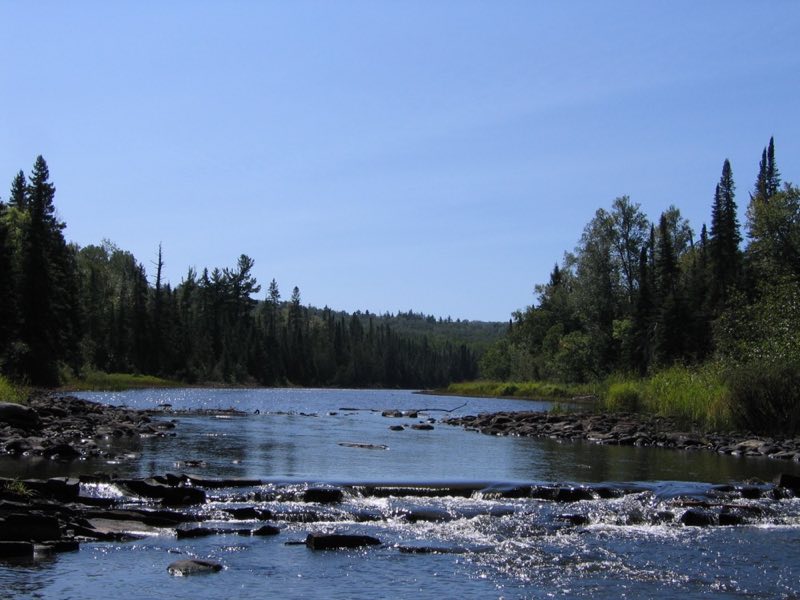
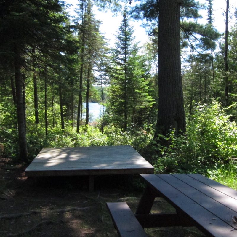
Two backcountry campsites, accessible to hikers and canoeists, are located at the Pigeon River (Canada/U.S. border) end of Grand Portage National Monument. Each campsite is limited to nine people. Camping permits are required and issued by the park. A permit system allows campers to reserve a campsite in advance.
- Operator
- National Park
- Camping types
- Tent, Free camping
- Sites
- 2 campsites
- Fee
- Free
- Reservations
- Reservable online
- Phone
- 218-475-0123
Amenities
Location
Nearby adventures
Hikes and trailheads
- Grand Portage Trail
Hike the Mount Rose Trail for stunning views of Grand Portage Bay and the Depot. National Park Service
Show on map - Superior Hiking Trail
A long-distance route maintained by Superior Hiking Trail Association.
Show on map - North Country National Scenic Trail (MN)
The North Country Trail is a long-distance hiking trail in the Midwestern and Northeastern United States. Wikipedia
Show on map - Border Route Trail
A long-distance route starting near Magnetic Rock Trailhead.
Show on map - Grand Portage Midway TrailheadShow on map
- Visit Grand Portage State Park
Grand Portage State Park is the location of the highest waterfall in Minnesota. National Park Service
Show on map
Rivers and rafting
- Paddle Washington Creek
Paddle Washington Creek, located on the west end of Isle Royale National Park. National Park Service
Show on map
Scenic sights
- Pigeon River Overlook
Cliff providing 180 degree overlook of Pigeon River valley, over 40 meters above valley floor. OpenStreetMap
Show on map - Partridge FallsShow on map
- 270-Degree OverlookShow on map
- Mount Rose
A peak along Mount Rose Trail.
Show on map - Mount Josephine
Mount Josephine is a peak in the Sawtooth Mountains of northeastern Minnesota, in the United States. Wikipedia
Show on map
Climbing and snow sports
- Snowshoeing at Grand Portage
Ask at the front desk to check out a pair of historic snowshoes for the day. National Park Service
Show on map
Trail and sight data: National Park Service and OpenStreetMap contributors (ODbL). Text marked Wikipedia is from Wikipedia under CC BY-SA 4.0, lightly shortened.
Reviews
Data sources
Listing details come from the sources above and may be out of date. Confirm fees, dates and closures with the operator before you travel.