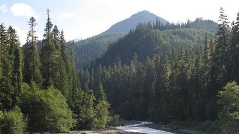
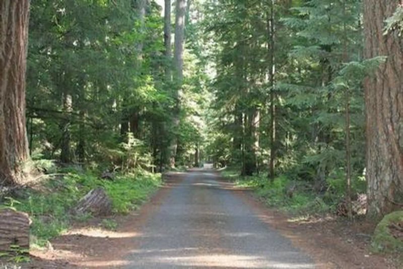
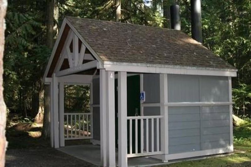
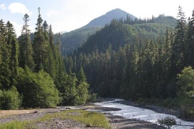
Photos: Local staff · courtesy of Recreation.gov. Click a photo to enlarge.
The Dalles Campground
Overview
Situated on the banks of the White River in Mt. Baker-Snoqualmie National Forest, Dalles Campground offers visitors stunning scenery and access to a multitude of recreational activities within the Cascade region.
- Operator
- National Forest
- Camping types
- Tent, RV
- Sites
- 45 campsites
- Reservations
- Reservable online
- Phone
- 360-804-1103
Amenities
Location
Nearby adventures
Hikes and trailheads
- Skookum Flats - North Trailhead
Provides access to: Skookum Flats Trail 1194. Recreation.gov
Show on map - Skookum Flats Trail
A trail starting near Skookum Flats - North Trailhead, maintained by Mt. Baker-Snoqualmie National Forest.
Show on map - John Muir Nature Trail
A trail maintained by Mt. Baker-Snoqualmie National Forest.
Show on map - Palisades Trail
A trail maintained by Mt. Baker-Snoqualmie National Forest.
Show on map - White River Trail
A trail starting near Deep Creek Trailhead, maintained by Mt. Baker-Snoqualmie National Forest.
Show on map - Snoquera Falls Loop
A loop trail.
Show on map
Mountain biking
- Legos TrailShow on map
- Middle Fork Trail
A mountain-bike route from Forest Road 1913 to Forest Road 1902.
Show on map - Manastash Ridge TrailShow on map
- Pyramid Peak TrailShow on map
Scenic sights
- Mount Rainier ViewpointShow on map
- Skookum Falls
A waterfall near Skookum Flats Trail.
Show on map - Sun Top
A peak along Suntop Trail.
Show on map - Skookum Falls Viewpoint
A viewpoint near Skookum Flats Trail.
Show on map - Dalles Creek Falls Upper
A waterfall along Palisades Trail.
Show on map
Climbing and snow sports
- Northeast Area: Remote Winter Recreation
Enjoy winter camping, snowshoeing, cross-country skiing, and snowmobiling in this less-visited area in the northeast of the park. National Park Service
Show on map - Mount RainierShow on map
- Exit 47Show on map
Trail and sight data: Recreation.gov and OpenStreetMap contributors (ODbL) and National Park Service.
Reviews
Data sources
Listing details come from the sources above and may be out of date. Confirm fees, dates and closures with the operator before you travel.