Photos: official source · courtesy of Recreation.gov. Click a photo to enlarge.
South Shore
Overview
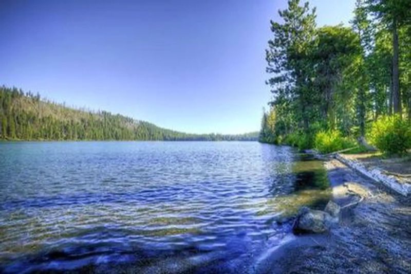
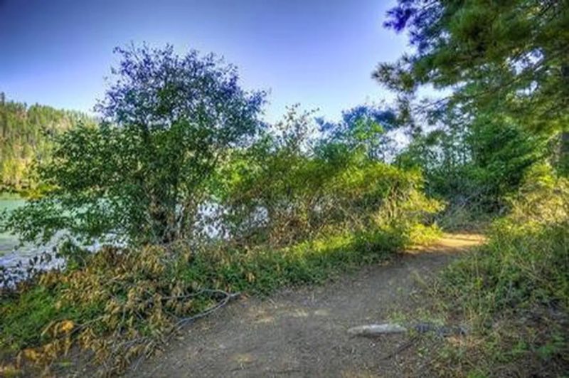
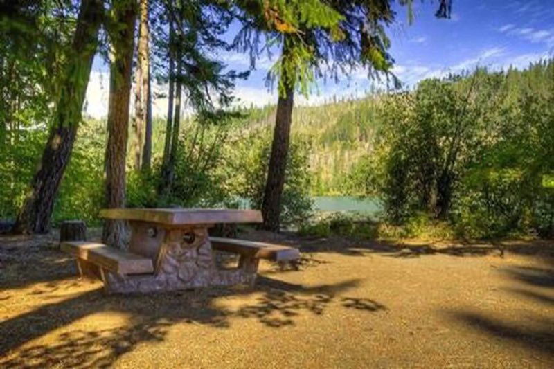
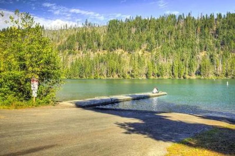
South Shore Campground is located along Suttle Lake, shaded by Douglas fir and Ponderosa pine. One section of the camp sits on the shoreline, while the other is nestled on a hillside. Most sites have lake views.
- Operator
- National Forest
- Camping types
- Tent
- Fee
- From $5 per night (confirm with the operator)
- Reservations
- Reservable online
- Phone
- 541-323-1746
Amenities
Location
Nearby adventures
Hikes and trailheads
- PCT - Oregon Section F
A long-distance route from Hwy 242 to Hwy 35.
Show on map - Canyon Creek Meadow Loop TrailShow on map
- Green Ridge Trail
A loop trail.
Show on map - Santium Pass TrailheadShow on map
- Patjens Lake TrailShow on map
- Sheep Springs Horse CampShow on map
Mountain biking
- Upper Butte Loop #4093.1Show on map
- McKenzie River National Recreation TrailShow on map
Scenic sights
- Mount Washington OverlookShow on map
- Head of the Metolius ViewpointShow on map
- Three Fingered Jack
Three Fingered Jack is a summit of a shield volcano of the Cascade Range in the U.S. state of Oregon. Wikipedia
Show on map - Hogg Rock
Hogg Rock is a tuya volcano and lava dome in the Cascade Range of northern Oregon, United States, located close to Santiam Pass. Wikipedia
Show on map - Sahalie Falls
Sahalie Falls, sometimes referred to as Upper Falls, is a plunging waterfall of the McKenzie River in Linn County, Oregon, United States. Wikipedia
Show on map
Climbing and snow sports
- Hoodoo Ski AreaShow on map
- Northwest FaceShow on map
- West SideShow on map
Trail and sight data: OpenStreetMap contributors (ODbL) and Recreation.gov. Text marked Wikipedia is from Wikipedia under CC BY-SA 4.0, lightly shortened.
Reviews
Data sources
Listing details come from the sources above and may be out of date. Confirm fees, dates and closures with the operator before you travel.