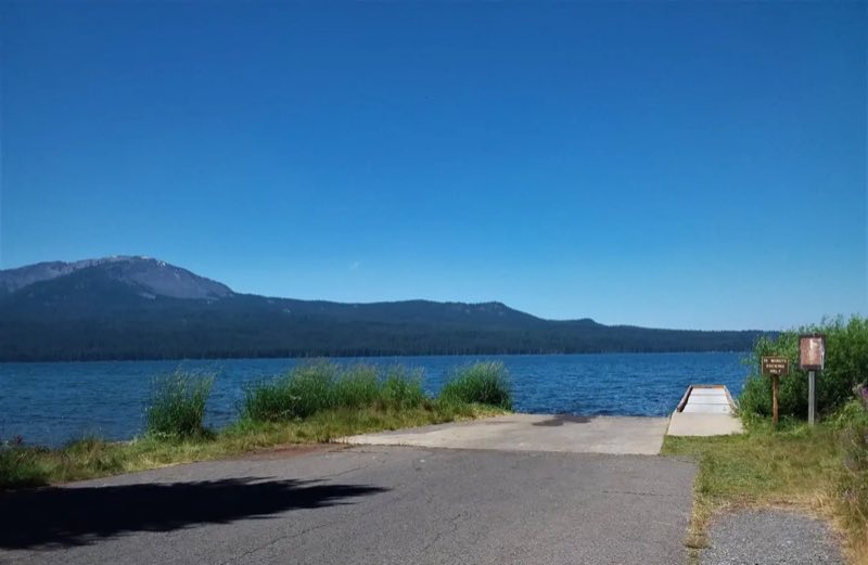
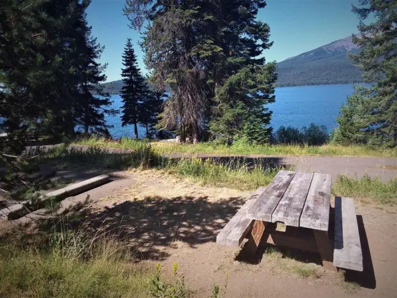
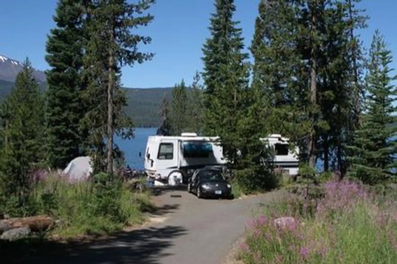
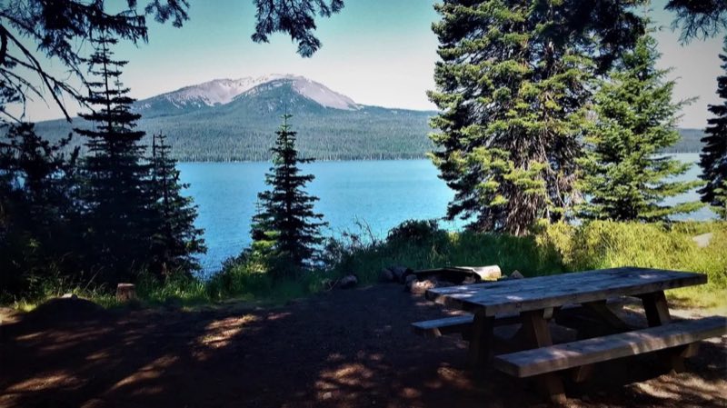
Photos: USFS · courtesy of Recreation.gov. Click a photo to enlarge.
Diamond Lake
Overview
Meandering along most of the east shore of the mile-high Diamond Lake, this large campground boasts spectacular views of both Mount Bailey and Mount Thielsen, and offers visitors abundant recreational opportunities.
- Operator
- National Forest
- Camping types
- RV, Tent
- Fee
- From $5 per night (confirm with the operator)
- Reservations
- Reservable online
- Phone
- 541-498-2531
Amenities
Location
Nearby adventures
Hikes and trailheads
- PCT - Oregon Section D
A long-distance route from Hwy 138 to Hwy 58.
Show on map - PCT - Oregon Section C
A long-distance route from Hwy 140 to Hwy 138.
Show on map - North Crater TrailheadShow on map
- Upper Rogue River TrailShow on map
- Cleetwood Cove Trail
A trail maintained by National Park Service.
Show on map - Wizard Island Summit Trail
A loop trail starting near Wizard Island Trailhead, maintained by National Park Service.
Show on map
Scenic sights
- Diamond Lake ViewpointShow on map
- Mt Thielson ViewpointShow on map
- Mount Bailey
Mount Bailey is a relatively young tephra cone and shield volcano in the Cascade Range, located on the opposite side of Diamond Lake from Mount Thielsen in southern Oregon, United States. Wikipedia
Show on map - Cinnamon Butte
Cinnamon Butte is a group of cinder cone volcanoes and lava domes in the Cascade Range of Oregon. Wikipedia
Show on map - Clearwater FallsShow on map
Climbing and snow sports
- Willamette PassShow on map
Trail and sight data: OpenStreetMap contributors (ODbL). Text marked Wikipedia is from Wikipedia under CC BY-SA 4.0, lightly shortened.
Reviews
Data sources
Listing details come from the sources above and may be out of date. Confirm fees, dates and closures with the operator before you travel.