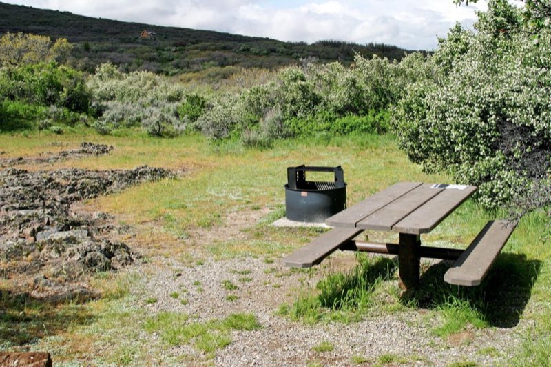
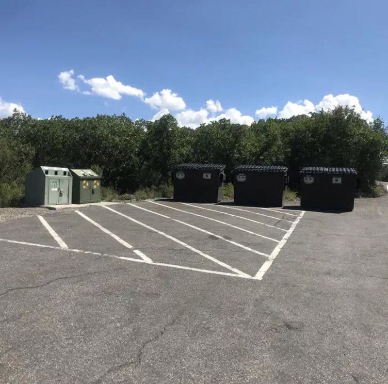
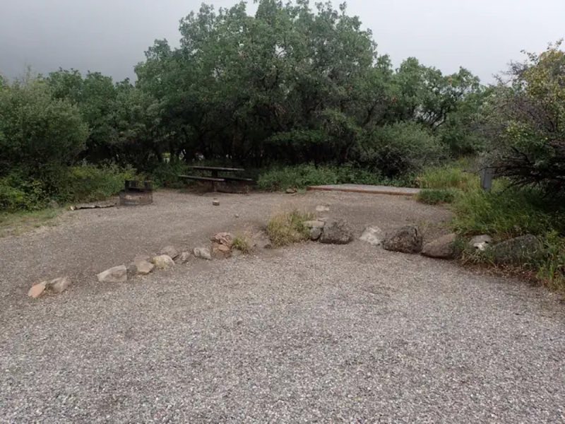
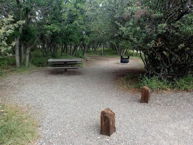
Photos: NPS photo, NPS · courtesy of National Park Service. Click a photo to enlarge.
South Rim Campground
Overview
The South Rim Campground is located one mile (1.6 km) from the South Rim Visitor Center. All campsites are by reservation only through Recreation.gov. Sites are fairly close together, partially shaded by tall shrubs. Only Loop B offers 20 and 30 amp electric hookups.
- Operator
- National Park
- Camping types
- Tent, RV
- Sites
- 88 campsites
- Fee
- From $20 per night (confirm with the operator)
- Reservations
- Reservable online
- Phone
- 970-641-2337
Amenities
Location
Nearby adventures
Hikes and trailheads
- Rim Rock Trail - South Rim
This 1-mile (1.6 km) trail, which meanders along the canyon rim, connects the South Rim Visitor Center to the South Rim Campground. National Park Service
Show on map - Uplands Trail - South Rim
This .9-mile (1.4 km) trail links the Rim Rock Trail (near the campground) to the upper Oak Flat Loop Trail near the South Rim Visitor Center. National Park Service
Show on map - Oak Flat Trail - South Rim
This 1.6 mi (2.6 km) trail offers variety to the hiker who would like to explore below the rim without going all the way to the river. National Park Service
Show on map - Deadhorse Trail - North Rim
Deadhorse Trail takes hikers into the Black Canyon of the Gunnison Wilderness Area. National Park Service
Show on map - Cedar Point Nature Trail - South Rim
This short, moderately sloped trail offers visitors a chance to brush up on local flora with guideposts describing the various plants along the way. National Park Service
Show on map - Chasm View Nature Trail - North Rim
This short loop trail breaks out of the pinyon/juniper forest at the North Chasm View to provide excellent views of Painted Wall and Serpent Point. National Park Service
Show on map
Mountain biking
- Tabeguache Trail
A long mountain-bike route from Grand Junction to Montrose. AI-written
Show on map - Wapiti Trail
A loop mountain-bike route.
Show on map - Cookie Tree Trail
A mountain-bike route starting near Cookie Tree.
Show on map - Rat Trails Southern loopShow on map
Rivers and rafting
- Boat on Crystal Reservoir
Crystal Reservoir provides backcountry flatwater boating opportunities. National Park Service
Show on map - Boat on Morrow Point Reservoir
For the more adventurous, Morrow Point Reservoir is a great location for canoeing or kayaking. National Park Service
Show on map - Boat on Blue Mesa Reservoir
Blue Mesa Reservoir, the largest body of water in Colorado, has 96 miles of shoreline and provides opportunities for motorboating, paddleboarding, kayaking, canoeing, and more. National Park Service
Show on map
Scenic sights
- Tomichi Point
A viewpoint along the South Rim Road in Black Canyon of the Gunnison National Park. AI-written
Show on map - Gunnison Point
A viewpoint near the South Rim visitor center in Black Canyon of the Gunnison National Park. AI-written
Show on map - Hairpin HillShow on map
- Needle Rock
Needle Rock Natural Area is located at the western edge of the West Elk Mountains of Colorado. Wikipedia
Show on map - Chipeta FallsShow on map
Climbing and snow sports
- Cross-country Skiing at Black Canyon
In winter, South Rim Drive is closed to vehicles beyond the visitor center at Gunnison Point. National Park Service
Show on map
Trail and sight data: National Park Service and OpenStreetMap contributors (ODbL). Text marked Wikipedia is from Wikipedia under CC BY-SA 4.0, lightly shortened. Text marked AI-written was drafted by an AI model from public data and may contain errors.
Reviews
Data sources
Listing details come from the sources above and may be out of date. Confirm fees, dates and closures with the operator before you travel.