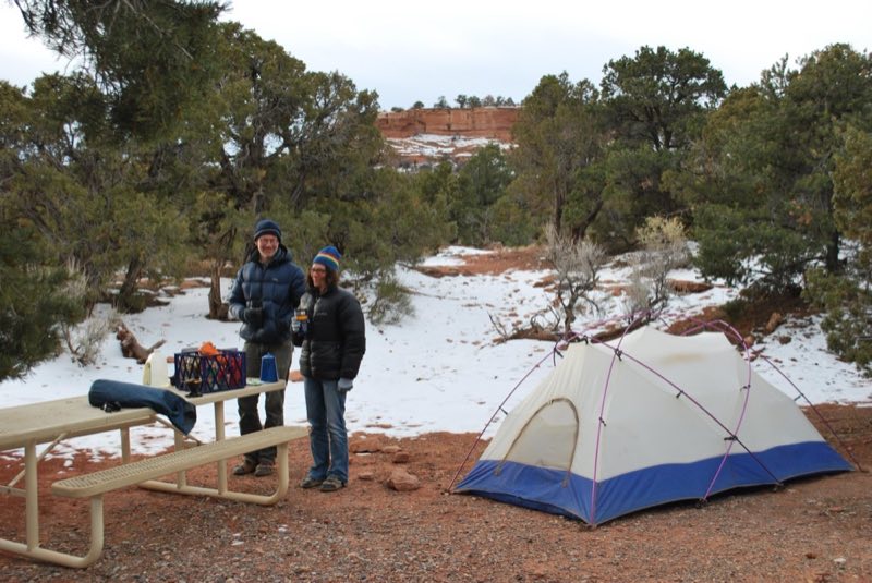
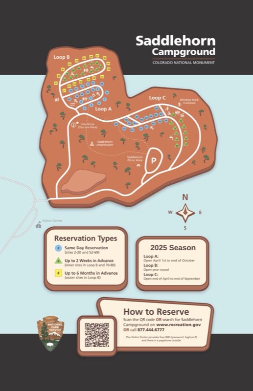
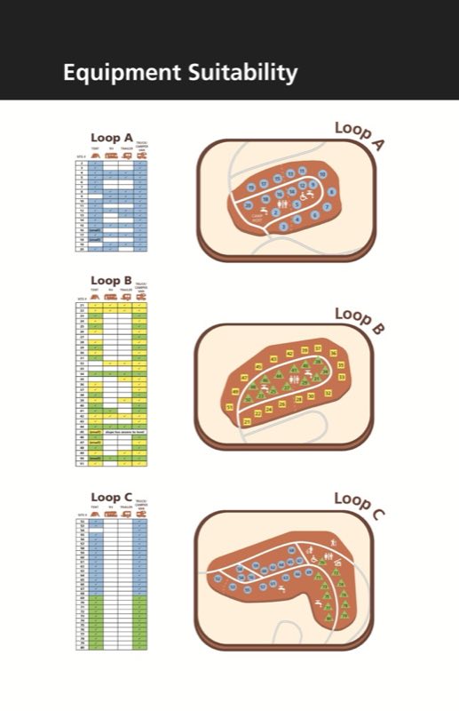
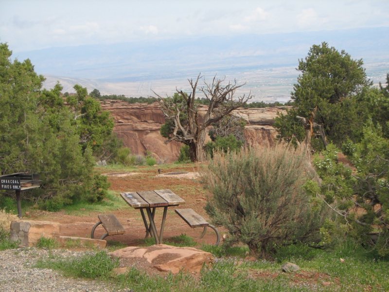
Photos: NPS Photo / Arlene Jackson, NPS Image, NPS Photo · courtesy of National Park Service. Click a photo to enlarge.
Saddlehorn Campground
Overview
All Saddlehorn Campground reservations, including same day, MUST be made online at www.recreation.gov. The campground is 4 miles from the west (Fruita) entrance. It is located in an area of Utah juniper and pinyon trees. Sites cost $22 a night, plus entry fee to Monument. One loop is open year-round.
- Operator
- National Park
- Camping types
- Tent, RV
- Sites
- 80 campsites
- Fee
- From $22 per night (confirm with the operator)
- Reservations
- Reservable online
- Phone
- 970-858-2800
Amenities
Location
Nearby adventures
Hikes and trailheads
- Hiking from Saddlehorn Visitor Center
These hikes can be accessed from the visitor center. National Park Service
Show on map - Short Hikes in the Monument
These out-and-back trails start from along scenic Rim Rock Drive in Colorado National Monument. National Park Service
Show on map - Hiking in Colorado National Monument
Colorado National Monument trails offer a hike for everyone from 0.25 mile to over 14 miles, from flat accessible surfaces to rugged canyons. National Park Service
Show on map - Monument Canyon Loop Hike
This 5-mile loop can be extended for a deeper exploration into Monument Canyon. National Park Service
Show on map - ADT - Colorado C - Q - Seg 6
CO Seg 6: West Segment Redstone to Utah Line. OpenStreetMap
Show on map - Pollock Bench Trailhead
Pollock Bench Trailhead offers exceptional hiking and horseback riding opportunities in a landscape of colorful intricate cliffs and deep canyons that tell a story shaped by shallow seas, a… Recreation.gov
Show on map
Mountain biking
- Road Biking on Rim Rock Drive
Road biking the 23-mile Rim Rock Drive offers cyclists a challenging ride with stunning views. National Park Service
Show on map - Rustler's Loop
A loop in the Kokopelli area near Loma, west of Grand Junction. AI-written
Show on map - Horsethief Bench via Mary's Loop & Wrangler
A trail in the Kokopelli area near Loma, west of Grand Junction. AI-written
Show on map - Kokopelli's Trail
A long trail between Fruita, Colorado and Moab, Utah, built for mountain bikes. AI-written
Show on map
Scenic sights
- Independence Monument
Independence Monument is a 5,739-foot-elevation sandstone pillar located in Colorado National Monument, in Mesa County of western Colorado, United States. Wikipedia
Show on map - Balanced Rock View
A viewpoint along Rim Rock Drive in Colorado National Monument. AI-written
Show on map - Book Cliffs View
A viewpoint along Rim Rock Drive in Colorado National Monument, facing the Book Cliffs. AI-written
Show on map
Climbing and snow sports
- Wildcat Complex
A climbing area with trad and top-rope routes.
Show on map - Powderhorn Ski Area
A ski area on Grand Mesa east of Grand Junction. AI-written
Show on map
Trail and sight data: National Park Service and OpenStreetMap contributors (ODbL) and Recreation.gov. Text marked Wikipedia is from Wikipedia under CC BY-SA 4.0, lightly shortened. Text marked AI-written was drafted by an AI model from public data and may contain errors.
Reviews
Data sources
Listing details come from the sources above and may be out of date. Confirm fees, dates and closures with the operator before you travel.