Photos: Scenic Canyons Recreational Services, Inc. · courtesy of Recreation.gov. Click a photo to enlarge.
River Hill
Overview
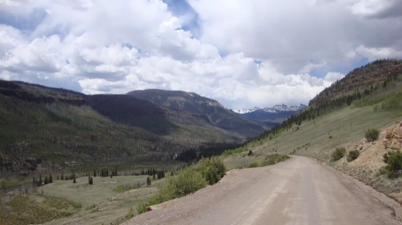
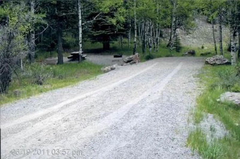
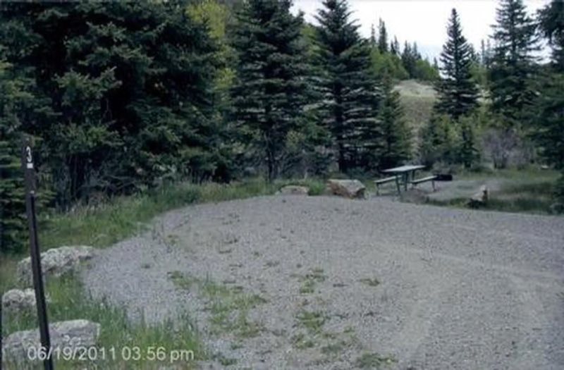
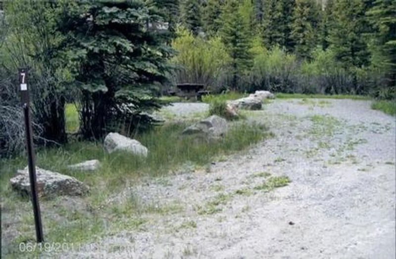
River Hill is a popular campground on the banks of the Rio Grande River. Situated in a meadow surrounded by willows, campers come here to fish for trout, hunt and take in the beautiful views of the forested hills and rock bluffs.
- Operator
- National Forest
- Camping types
- Tent
- Fee
- From $20 per night (confirm with the operator)
- Reservations
- Reservable online
- Phone
- 719-658-0829
Amenities
Location
Nearby adventures
Hikes and trailheads
- Thirty Mile TrailheadShow on map
- Texas Creek Summer Home Group Trailhead
Non-Motorized Trail -- Camping is not permitted at the trailhead itself since it is located within the Rio Grande Canyon, Summer Home Group. Recreation.gov
Show on map - CDT - Colorado Section
The Colorado part of the Continental Divide National Scenic Trail, which follows the Continental Divide from Mexico to Canada. AI-written
Show on map - CDT - Colorado SectionShow on map
- Ute Creek Trailhead #819Show on map
- Colorado Trail
A section of the long-distance Colorado Trail, which crosses the state from near Denver to Durango. AI-written
Show on map
Scenic sights
- South Clear Creek FallsShow on map
- Rio Grande Pyramid
Rio Grande Pyramid, elevation 13,827 feet, is a summit in the San Juan Mountains of southwest Colorado. Wikipedia
Show on map - North Clear Creek FallsShow on map
- Half Peak
Half Peak is the highest summit of the east central San Juan Mountains in the Rocky Mountains of North America. Wikipedia
Show on map - Piedra River Hot Springs
A hot spring along the Piedra River near Pagosa Springs, reached by a short hike. AI-written
Show on map
Climbing and snow sports
- Lake City Ski Hill
A small ski hill at Lake City in the San Juan Mountains. AI-written
Show on map
Trail and sight data: OpenStreetMap contributors (ODbL) and Recreation.gov. Text marked Wikipedia is from Wikipedia under CC BY-SA 4.0, lightly shortened. Text marked AI-written was drafted by an AI model from public data and may contain errors.
Reviews
Data sources
Listing details come from the sources above and may be out of date. Confirm fees, dates and closures with the operator before you travel.