Photos: USFS · courtesy of Recreation.gov. Click a photo to enlarge.
May Queen
Overview
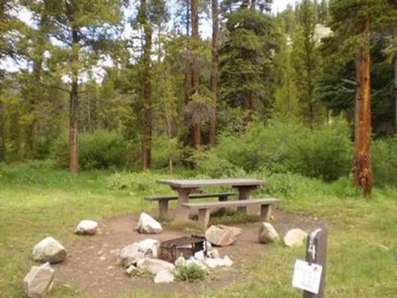
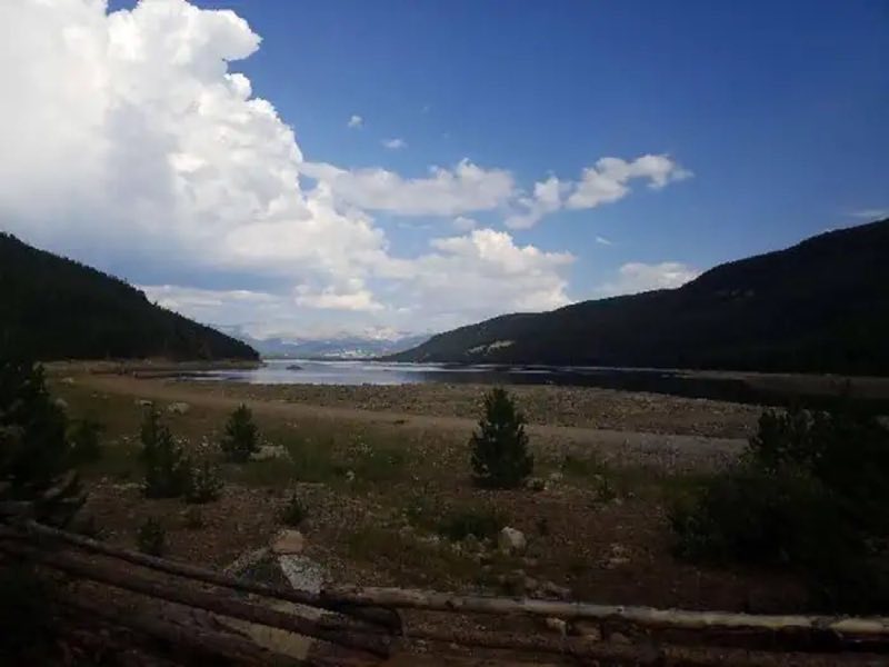
May Queen Campground is located at the far western end of Turquoise Lake in a shaded lodgepole pine forest. Conveniently perched near the Charles Boustead Memorial Tunnel, May Queen offers easy access to boating, fishing and hiking.
- Operator
- National Forest
- Camping types
- RV, Tent
- Fee
- From $10 per night (confirm with the operator)
- Reservations
- Reservable online
- Phone
- 719-486-0749 (FOR INFORMATION ONLY, NO RESERVATIONS
Amenities
Location
Nearby adventures
Hikes and trailheads
- Colorado Trail
A section of the long-distance Colorado Trail, which crosses the state from near Denver to Durango. AI-written
Show on map - CDT - Colorado SectionShow on map
- CDT - Colorado Section
The Colorado part of the Continental Divide National Scenic Trail, which follows the Continental Divide from Mexico to Canada. AI-written
Show on map - ADT - Colorado C - Q - Seg 4
A section of the American Discovery Trail, a coast-to-coast route across the United States. AI-written
Show on map - Colorado Trail Seg. 9 Tennessee Pass to Hagerman Pass Road
A segment of the Colorado Trail through the Sawatch Range near Leadville. AI-written
Show on map - Colorado Trail Seg. 10 Hagerman Pass Road to Halfmoon Creek
A segment of the Colorado Trail through the Sawatch Range near Leadville. AI-written
Show on map
Mountain biking
- Colorado Trail segment 7Show on map
- South ElbertShow on map
- Beecher LoopShow on map
- Peaks Trail
A trail linking Breckenridge and Frisco along the Tenmile Range. AI-written
Show on map
Scenic sights
- Shimmering Point OverlookShow on map
- Mosquito View OverlookShow on map
- Mount Massive
Mount Massive is the second-highest summit of the Rocky Mountains of North America and the U.S. state of Colorado. Wikipedia
Show on map - Mount Oklahoma
Mount Oklahoma is a high mountain summit in the Sawatch Range of the Rocky Mountains of North America. Wikipedia
Show on map - Ryks WaterfallShow on map
Climbing and snow sports
- Dutch Henry Ski Hill
A ski area, operated by Colorado Mountain College.
Show on map - Outrageous OverhangsShow on map
- Grotto Walls CragShow on map
Trail and sight data: OpenStreetMap contributors (ODbL) and Recreation.gov. Text marked Wikipedia is from Wikipedia under CC BY-SA 4.0, lightly shortened. Text marked AI-written was drafted by an AI model from public data and may contain errors.
Reviews
Data sources
Listing details come from the sources above and may be out of date. Confirm fees, dates and closures with the operator before you travel.