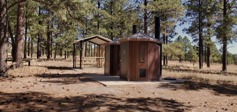
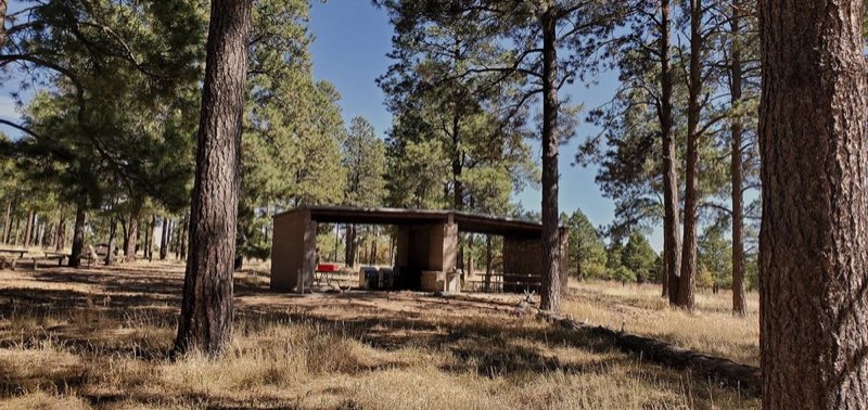
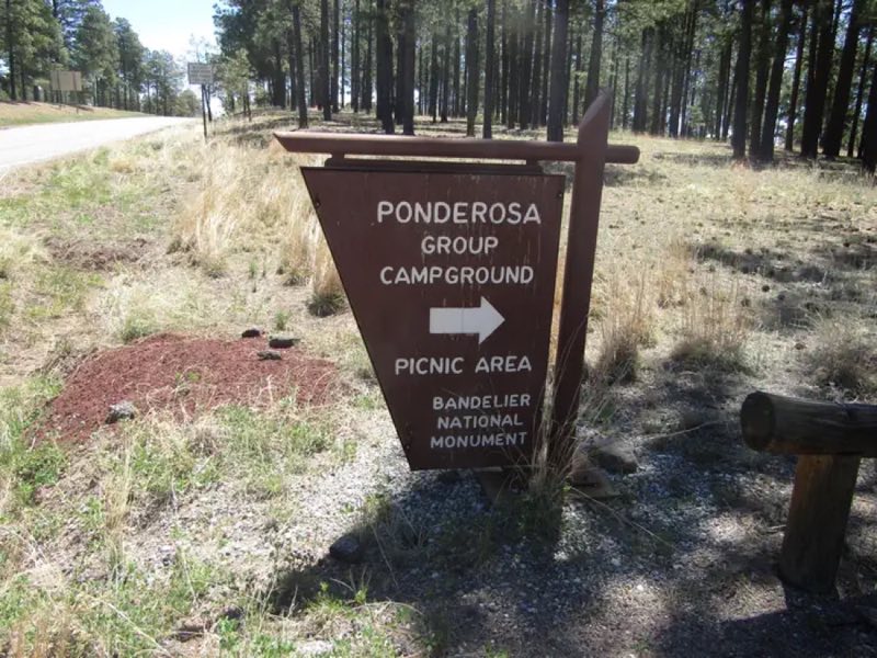
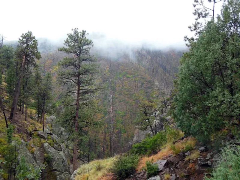
Photos: NPS, NPS Photo · courtesy of National Park Service. Click a photo to enlarge.
Ponderosa Group Campground
Overview
Ponderosa group campground is open year round, with water available May - October only. Site is available by reservation only through Recreation.gov.
- Operator
- National Park
- Camping types
- Tent, RV
- Sites
- 2 campsites
- Reservations
- Reservable online
- Phone
- 505-672-3861
Amenities
Location
Nearby adventures
Hikes and trailheads
- South Valle Grande Trail
The South Valle Grande Trail is a 2-mile round-trip hike that descends to the edge of Valle Grande, offering excellent wildlife viewing opportunities. National Park Service
Show on map - Alamo Boundary Trail
Learn more about the Alamo Boundary Trail, including roundtrip mileage and where to start the hike. National Park Service
Show on map - Ponderosa Trail
A trail maintained by National Park Service.
Show on map - Water Canyon Trail
A trail maintained by United States Forest Service.
Show on map - Rabbit Ridge Trail
The Rabbit Ridge Trail is a 2.4-mile round-trip hike that climbs to the south rim of Valles Caldera. National Park Service
Show on map - Perimeter South
A trail maintained by United States Forest Service.
Show on map
Mountain biking
- Bike the Valle Grande Loop
This bike route loops around Valle Grande, providing spectacular views along the entire route. National Park Service
Show on map - Quemazon/Pipeline Loop
A loop mountain-bike route maintained by Los Alamos County.
Show on map - Bike the Redondo Foothills Loop
The Redondo Foothills Loop is a moderately strenuous, 9.5-mile bike route beginning in the Cabin District. National Park Service
Show on map - Acid Canyon Loop
A loop mountain-bike route starting near Aquatic Center Trailhead, maintained by Los Alamos County.
Show on map
Scenic sights
- Escobas MesaShow on map
- Mesa del RitoShow on map
- Frijoles Canyon ViewpointShow on map
- Cave of the WindsShow on map
- Tyuonyi Overlook
Bandelier National Monument is a 33,677-acre United States National Monument near Los Alamos in Sandoval and Los Alamos counties, New Mexico. Wikipedia
Show on map
Climbing and snow sports
- Ski the Cerro La Jara Loop
This 1.5-mile (2.4 km) ski loop circles Cerro La Jara, the smallest volcanic dome in the park, which formed about 500,000 years ago when lava oozed up and onto the caldera floor. National Park Service
Show on map - Mountain CenterShow on map
- Ropes CourseShow on map
Trail and sight data: National Park Service and OpenStreetMap contributors (ODbL). Text marked Wikipedia is from Wikipedia under CC BY-SA 4.0, lightly shortened.
Reviews
Data sources
Listing details come from the sources above and may be out of date. Confirm fees, dates and closures with the operator before you travel.