Photos: NPS Photo, NPS Photo/Sally King · courtesy of National Park Service. Click a photo to enlarge.
Juniper Family Campground
Overview
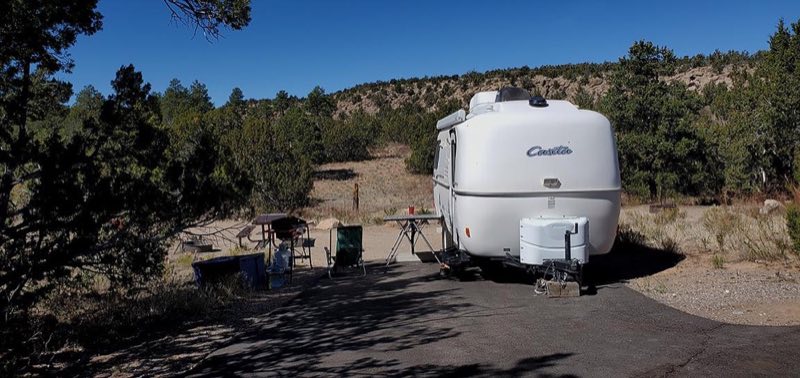
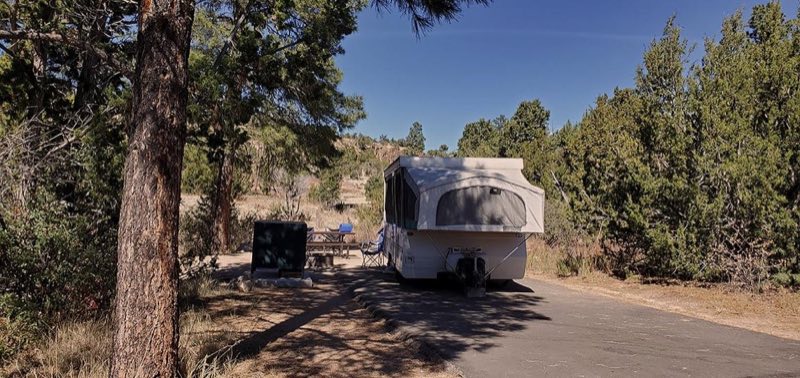
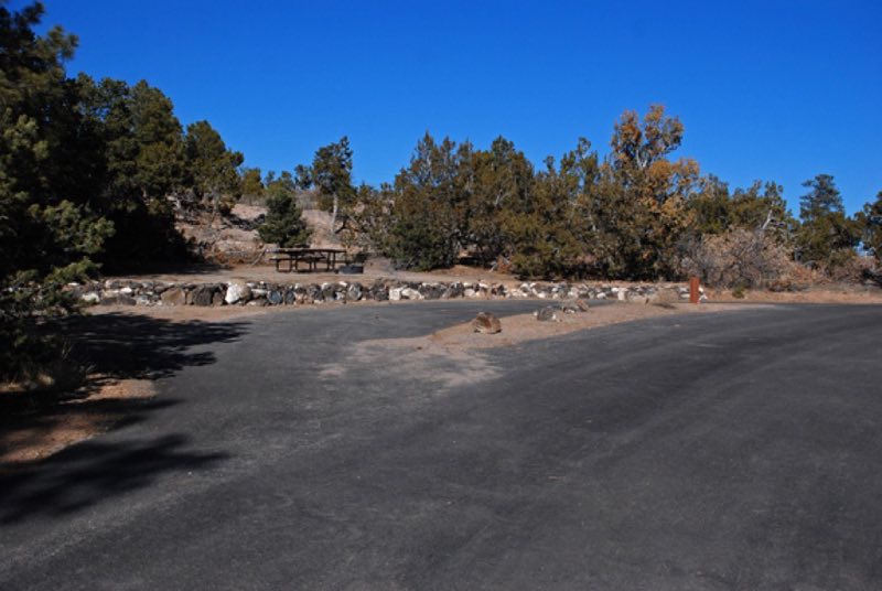
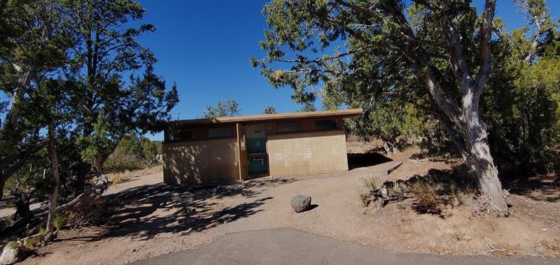
Three (3) loops, 52 site campground near the entrance to the monument. Two (2) sites for small groups up to 20 people. Abert's Squirrel Loop is first come, first serve only. Black Bear and Coyote Loops are available through reservation only. They can be reserved online at Recreation.gov.
- Operator
- National Park
- Camping types
- Tent, RV
- Sites
- 52 campsites
- Fee
- From $20 per night (confirm with the operator)
- Reservations
- Reservable online
- Phone
- 505-672-3861
Amenities
Location
Nearby adventures
Hikes and trailheads
- Main Pueblo Loop Trail
Summary, things to see, and maps of the famous Pueblo Loop Trail in Bandelier National Monument. National Park Service
Show on map - Alcove House Trail
Learn about the hike and ladder-climb at Bandelier's Alcove House. National Park Service
Show on map - Frey Trail
A loop trail maintained by National Park Service.
Show on map - Tyuonyi Overlook Trail
A loop trail maintained by National Park Service.
Show on map - Main Loop
A loop trail.
Show on map - Frijoles Trail
A trail maintained by National Park Service.
Show on map
Mountain biking
- Knife Edge Trail
A mountain-bike route maintained by Los Alamos County.
Show on map - Powerline Point Trail
A loop mountain-bike route maintained by Los Alamos County.
Show on map - Old Road Middle Fork Trail
A mountain-bike route maintained by Los Alamos National Laboratory.
Show on map - Old Road North Fork Trail
A loop mountain-bike route maintained by Los Alamos National Laboratory.
Show on map
Scenic sights
- Tyuonyi Overlook
Bandelier National Monument is a 33,677-acre United States National Monument near Los Alamos in Sandoval and Los Alamos counties, New Mexico. Wikipedia
Show on map - Frijoles MesaShow on map
- Frijoles Canyon Overlook
A viewpoint along Tyuonyi Overlook Trail.
Show on map - Corral Hill
A peak near Middle Alamo Trail.
Show on map - Upper Frijoles Falls
A waterfall along Falls Trail.
Show on map
Climbing and snow sports
- Ski the Cerro La Jara Loop
This 1.5-mile (2.4 km) ski loop circles Cerro La Jara, the smallest volcanic dome in the park, which formed about 500,000 years ago when lava oozed up and onto the caldera floor. National Park Service
Show on map - Mountain CenterShow on map
- Ropes CourseShow on map
Trail and sight data: National Park Service and OpenStreetMap contributors (ODbL). Text marked Wikipedia is from Wikipedia under CC BY-SA 4.0, lightly shortened.
Reviews
Data sources
Listing details come from the sources above and may be out of date. Confirm fees, dates and closures with the operator before you travel.