Photos: USFS · courtesy of Recreation.gov. Click a photo to enlarge.
Podunk Guard Station
Overview
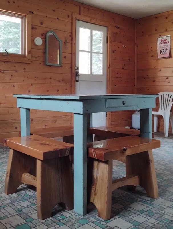
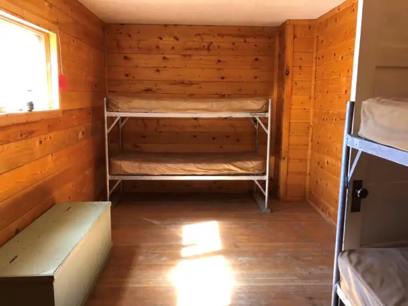
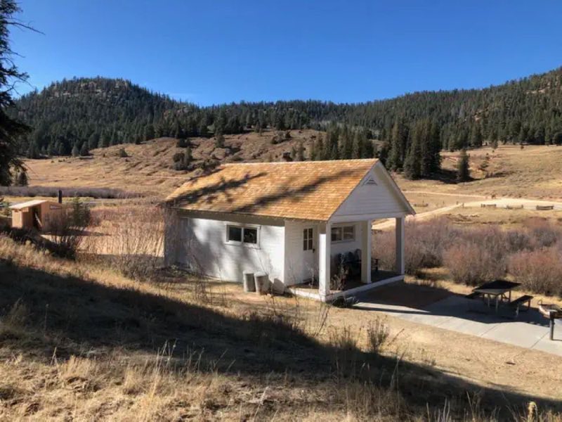
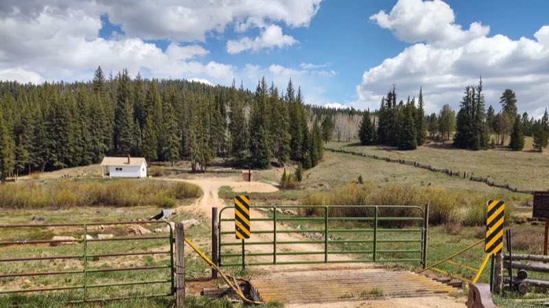
Podunk Guard Station is located next to the East Fork Sevier River, in the Dixie National Forest in southern Utah. The cabin was constructed in 1928 and has been used by generations of Forest Service employees. Guests enjoy exploring local trails on foot, horseback, mountain bike and off-road vehicle.
- Operator
- National Forest
- Camping types
- Tent
- Fee
- From $10 per night (confirm with the operator)
- Reservations
- Reservable online
Amenities
Location
Nearby adventures
Hikes and trailheads
- Bristlecone Loop Trail
The Bristlecone Loop, an easy 1 mile hike, meanders through the forest atop this highest portion of the park, reaching elevations over 9,100 feet (2778 m). National Park Service
Show on map - Riggs Spring Loop
The Riggs Spring Loop is a backcountry trail that begins and ends at Yovimpa Point. National Park Service
Show on map - Great Western Trail - UtahShow on map
- Under-the-Rim Trail
The Under-the-Rim Trail is a 22.9-mile hiking trail in Bryce Canyon National Park, Utah. Wikipedia
Show on map - Agua Canyon Connector TrailheadShow on map
- Swamp Canyon Loop
Swamp Canyon appears relatively small and sheltered from the overlook, allowing the viewer to develop a more intimate connection with the landscape than some of the grander viewpoints in… National Park Service
Show on map
Mountain biking
- Thunder Mountain Trail
A mountain-bike route starting near Thunder Mountain Trailhead.
Show on map
Scenic sights
- Ponderosa Canyon OverlookShow on map
- Black Birch Canyon OverlookShow on map
- Bald Knoll
Bald Knoll, also called Black Knoll, Buck Knoll or Corral Knoll, is a cinder cone in Utah, in the Southwestern United States. Wikipedia
Show on map - Mammoth Cave
Mammoth Cave is a lava tube located on the Markagunt Plateau in the Dixie National Forest of Southern Utah, and is one of the largest lava tubes in Utah. Wikipedia
Show on map - Tropic Ditch Falls
A waterfall along Mossy Cave Trail.
Show on map
Climbing and snow sports
- Snowshoe Hikes
Here at 8,000 feet (2,438 m) the scenery changes dramatically in the colder months. National Park Service
Show on map
Trail and sight data: National Park Service and OpenStreetMap contributors (ODbL). Text marked Wikipedia is from Wikipedia under CC BY-SA 4.0, lightly shortened.
Reviews
Data sources
Listing details come from the sources above and may be out of date. Confirm fees, dates and closures with the operator before you travel.