Photos: Alexa Anderson, Utah Recreation Company · courtesy of Recreation.gov. Click a photo to enlarge.
Ledgefork
Overview
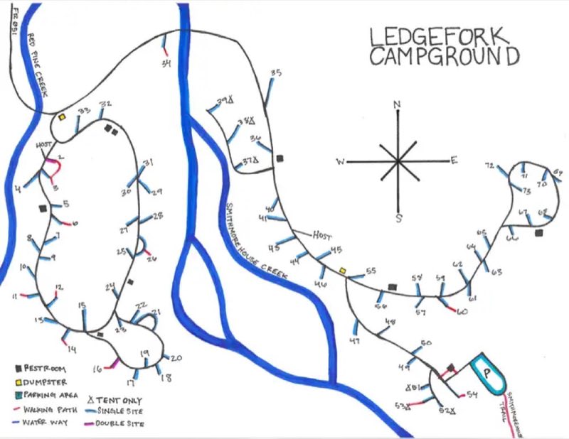
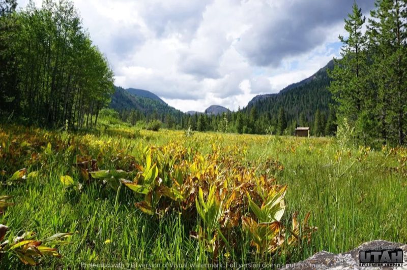
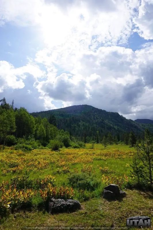
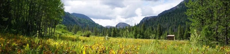
Ledgefork Campground is located just above Smith and Morehouse Reservoir on the western edge of the Uinta Mountains in northeastern Utah. The town of Oakley is just 14 miles away. Visitors enjoy fishing, canoeing and exploring the Smith and Morehouse Trail.
- Operator
- National Forest
- Camping types
- Tent
- Fee
- From $31 per night (confirm with the operator)
- Reservations
- Reservable online
- Phone
- KAMAS RANGER DISTRICT 435-783-4338 OR UTAH RECREATION COMPANY 385-273-1100
Amenities
Location
Nearby adventures
Hikes and trailheads
- Upper Setting TrailheadShow on map
- Tombstone Trail
Level | BeginnerDistance | 0.7 miRiding Direction | Both WaysBeginner-level, kid-friendly trail that branches off lower Lazy Dazz to form a short, easy lariat loop. OpenStreetMap
Show on map - Holiday Park TrailheadShow on map
- Lakes Country TrailheadShow on map
- Uinta Highline Trail
The Uinta Highline Trail is a trail in the Uinta Mountains of Utah that traverses the range 104 miles from east to west. Wikipedia
Show on map
Mountain biking
- Lazy Dazz Trail
Level | Beginner Distance | 0.8 mi Riding Direction | Uphill Only A mostly smooth uphill-only route that heads south from the step-over trail head before climbing up to intersect with the… OpenStreetMap
Show on map
Scenic sights
- Oakley OverlookShow on map
- Humpy Peak
Humpy Peak is a peak located in the Uinta Mountain Range in northern Utah. Wikipedia
Show on map - Bald Mountain
Bald Mountain is a 11,949-foot peak in the western Uinta Mountain Range in the Uinta-Wasatch-Cache National Forest on the border between Summit and Wasatch counties in northeastern Utah… Wikipedia
Show on map - Upper Provo River FallsShow on map
- Middle Provo River FallsShow on map
Climbing and snow sports
- The Pass CragShow on map
- CobrazoneShow on map
- Lily Lake Winter Recreation AreaShow on map
Trail and sight data: OpenStreetMap contributors (ODbL). Text marked Wikipedia is from Wikipedia under CC BY-SA 4.0, lightly shortened.
Reviews
Data sources
Listing details come from the sources above and may be out of date. Confirm fees, dates and closures with the operator before you travel.