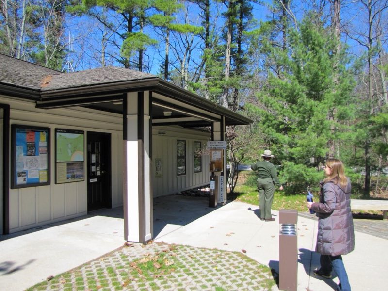
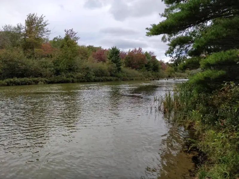
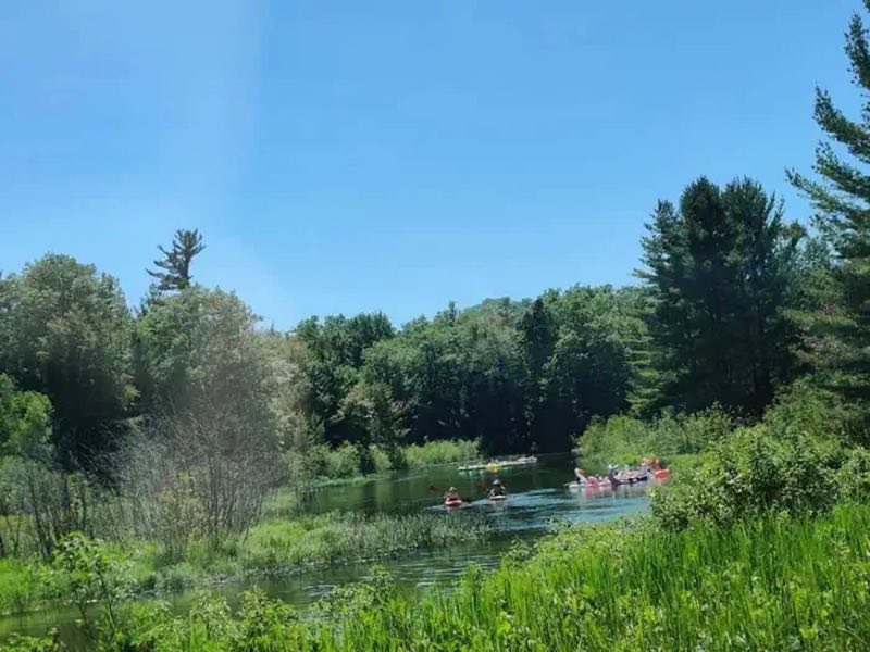
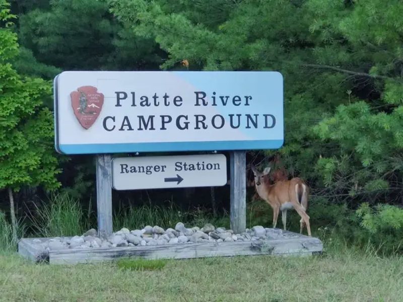
Photos: NPS, NPS Photo · courtesy of National Park Service. Click a photo to enlarge.
Platte River Campground
Overview
Platte River Campground is open year-round and offers a wide variety of camping styles. You can find back-in and pull-through sites for RV's, including electrical hookups; but it also offers beautiful tent sites, walk-in sites for the slightly more adventurous, and group sites (hike-in, tents only) accommodating up to…
- Operator
- National Park
- Camping types
- Tent, RV
- Sites
- 179 campsites
- Fee
- From $22 per night (confirm with the operator)
- Reservations
- Reservable online
- Phone
- 877-444-6777
Amenities
Location
Nearby adventures
Hikes and trailheads
- Lasso Loop (Platte Plains)
A trail from Lasso Loop Trailhead to Lasso Loop Trailhead.
Show on map - Bass Lake Loop (Platte Plains)
A trail from Guidepost 4 to Guidepost 4.
Show on map - Otter Creek Loop (Platte Plains)
A loop trail.
Show on map - Old Indian TrailShow on map
- Treat Farm TrailShow on map
- No Name Trail
A sandy trail from Empire Bluff Trail to Treat Farm Trail.
Show on map
Scenic sights
- Old Baldy Dune
A peak near Treat Farm Trail.
Show on map - Empire Bluff Scenic Overlook
A viewpoint along No Name Trail.
Show on map - South Bar Lake Scenic Overlook
A viewpoint along Empire Bluff Trail.
Show on map - Tank HillShow on map
Climbing and snow sports
- Crystal MountainShow on map
- Climbing TowerShow on map
- Ropes CourseShow on map
Trail and sight data: OpenStreetMap contributors (ODbL).
Reviews
Data sources
Listing details come from the sources above and may be out of date. Confirm fees, dates and closures with the operator before you travel.