Photos: NPS / Paul Brown, NPS / Marty Olgren, Tom Brown · courtesy of National Park Service. Click a photo to enlarge.
Beaver Island Campground
Overview
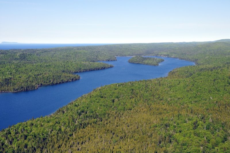
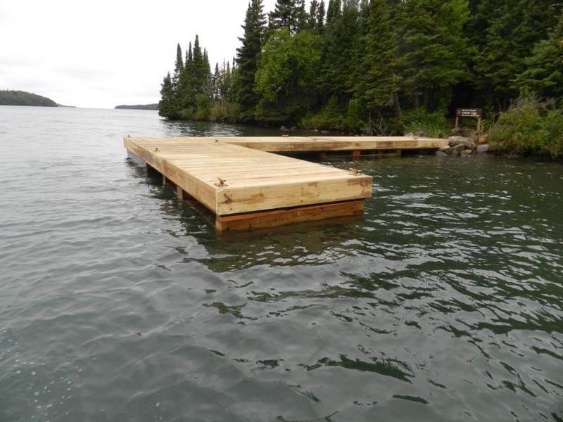
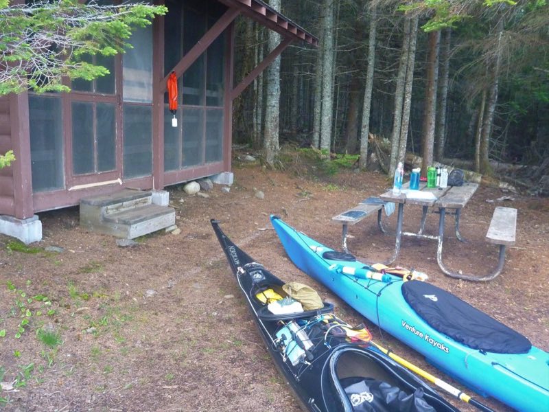
Located in the center of Washington Harbor, near Windigo. All shelters are water facing. Boats can stay at the dock overnight. Stay Limit: 3 nights effective from 6/1 - Labor Day annually. Shelters: 3 Depth at dock (normal conditions): 2'-5' Access: Canoe/kayak/private boat
- Operator
- National Park
- Camping types
- Tent, Free camping
- Sites
- 3 campsites
- Fee
- Free
- Reservations
- No online reservations listed
- Phone
- 906-482-0984
Amenities
Location
Nearby adventures
Hikes and trailheads
- Hike to Grace Creek Overlook
Grace Creek Overlook offers scenic views of Grace Creek, Grace Harbor, and Lake Superior. National Park Service
Show on map - Walk the Windigo Nature Trail
Walk the Windigo Nature Trail and immerse yourself in the deciduous forest on the western end of Isle Royale. National Park Service
Show on map - Minong Ridge Trail
Hike to the Minong Ridge Overlook and enjoy views of Isle Royale's west end, Lake Superior, and the Canadian shoreline to the north. National Park Service
Show on map - Feldtmann Lake TrailShow on map
- Greenstone Ridge TrailShow on map
- Hunnigan Cove Trail
A loop trail.
Show on map
Rivers and rafting
- Paddle Washington Creek
Paddle Washington Creek, located on the west end of Isle Royale National Park. National Park Service
Show on map - Portage from Lake Livermore to Lake LeSage
Portage from Lake Livermore to Lake LeSage and travel over the Greenstone Ridge along the Indian Portage Trail. National Park Service
Show on map - Portage from Lake LeSage to Lake Richie
Portage 0.6 miles from Lake LeSage to Lake Richie over a rolling trail. National Park Service
Show on map
Scenic sights
- Grace Creek Overlook
A viewpoint along Feldtmann Lake Trail.
Show on map - Sugar Mountain
A peak along Greenstone Ridge Trail.
Show on map - Mount Desor
Mount Desor is the tallest mountain within Isle Royale National Park. Wikipedia
Show on map
Climbing and snow sports
- Snowshoeing at Grand Portage
Ask at the front desk to check out a pair of historic snowshoes for the day. National Park Service
Show on map
Trail and sight data: National Park Service and OpenStreetMap contributors (ODbL). Text marked Wikipedia is from Wikipedia under CC BY-SA 4.0, lightly shortened.
Reviews
Data sources
Listing details come from the sources above and may be out of date. Confirm fees, dates and closures with the operator before you travel.