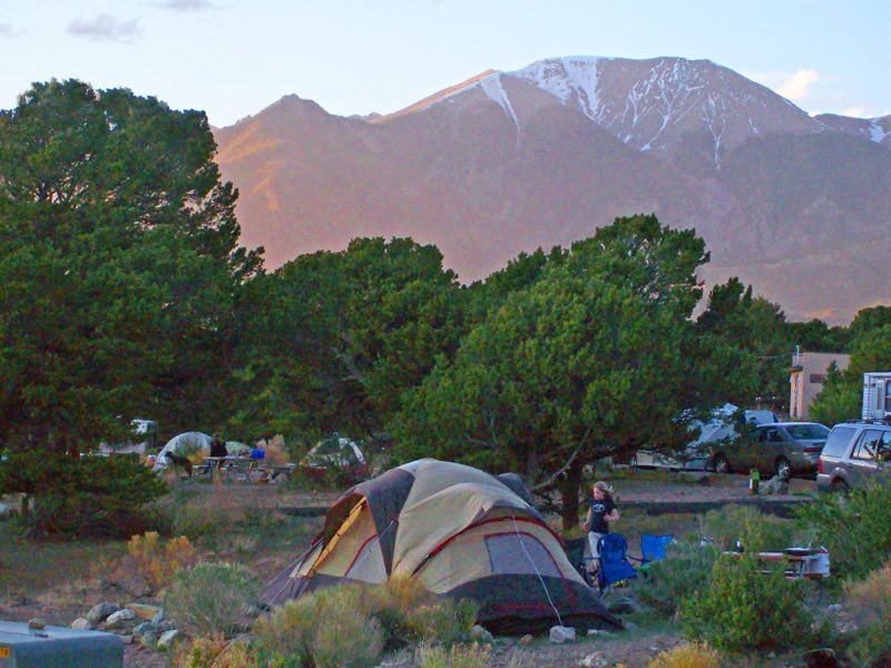
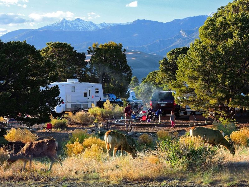
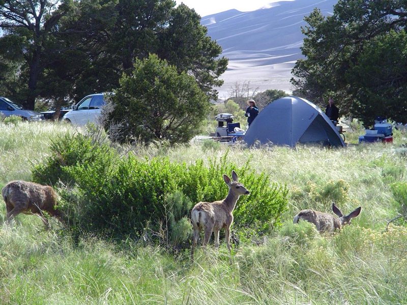
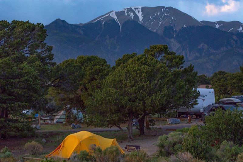
Photos: NPS/Patrick Myers, NPS/Scott Hansen · courtesy of National Park Service. Click a photo to enlarge.
Piñon Flats Campground
Overview
Piñon Flats is a National Park Service campground located one mile north of the Visitor Center, open April through October. All sites are by reservation on recreation.gov. Beginning in the 2026 season, Individual and group sites can be reserved up to 3 months in advance.
- Operator
- National Park
- Camping types
- Tent, RV
- Sites
- 91 campsites
- Fee
- From $20 per night (confirm with the operator)
- Reservations
- Reservable online
- Phone
- 719-378-6395
Amenities
Location
Nearby adventures
Hikes and trailheads
- Montville Nature Trail or Mosca Pass Trail
Just above the dunefield are montane woodlands of pinon and ponderosa pine, subalpine aspen and conifer forests, alpine lakes and rugged mountains over 13,000 feet (4,000 m) in elevation. National Park Service
Show on map - Explore the Dunes
Explore the tallest dunes in North America! National Park Service
Show on map - Wellington Ditch TrailheadShow on map
- Sawmill Canyon Access TrailheadShow on map
- Mosca Pass TrailheadShow on map
- Hike Medano Lake and Mount Herard
Take your 4WD vehicle around the dunes and up to Medano Pass, hike to a small alpine lake, then continue to the summit of 13,297 ft (4,053 m) Mount Herard for an aerial perspective on the… National Park Service
Show on map
Rivers and rafting
- Splash in Medano Creek
Medano Creek is a popular seasonal stream enjoyed by all ages. National Park Service
Show on map
Scenic sights
- Mount Herard
Mount Herard is a high and prominent mountain summit in the Sangre de Cristo Range of the Rocky Mountains of North America. Wikipedia
Show on map - California Peak
California Peak is a high mountain summit in the Sangre de Cristo Range of the Rocky Mountains of North America. Wikipedia
Show on map - Zapata Falls
Zapata Falls is a waterfall located in the San Luis Valley near the base of the Sangre de Cristo Mountains on Bureau of Land Management land adjacent to Rio Grande National Forest and south… Wikipedia
Show on map - Medano Pass
A mountain pass across the Sangre de Cristo Mountains beside Great Sand Dunes National Park, reached by a primitive road. AI-written
Show on map
Climbing and snow sports
- Cuchara Mountain Resort
A ski area at Cuchara in the Sangre de Cristo Mountains. AI-written
Show on map
Trail and sight data: National Park Service and OpenStreetMap contributors (ODbL). Text marked Wikipedia is from Wikipedia under CC BY-SA 4.0, lightly shortened. Text marked AI-written was drafted by an AI model from public data and may contain errors.
Reviews
Data sources
Listing details come from the sources above and may be out of date. Confirm fees, dates and closures with the operator before you travel.