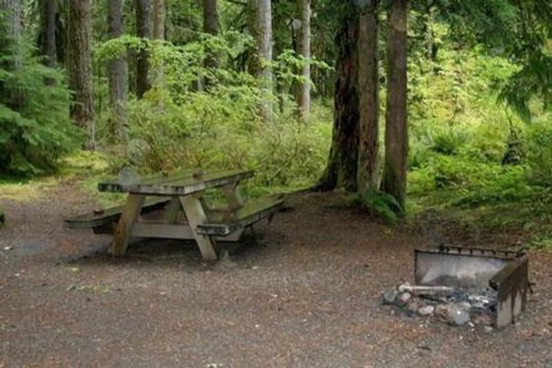
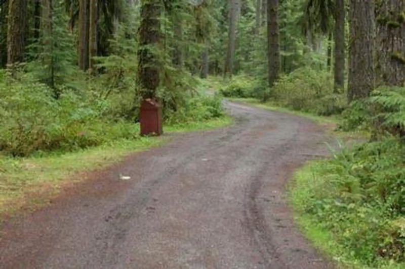
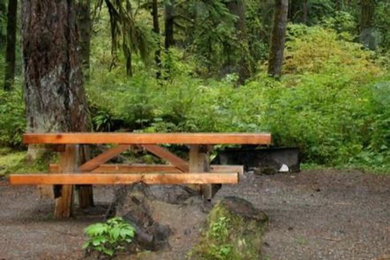
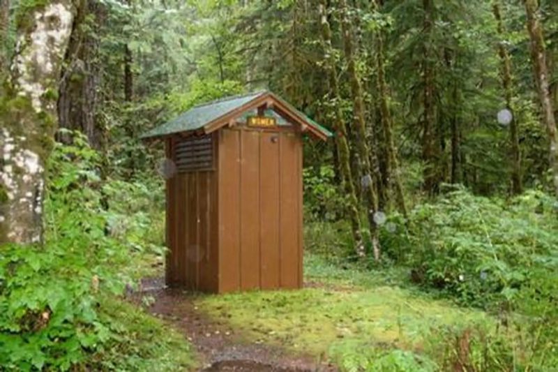
Photos: official source · courtesy of Recreation.gov. Click a photo to enlarge.
Park Creek Campground
Overview
Park Creek Campground sits along the banks of Park Creek in the stunning Mt. Baker-Snoqualmie National Forest. The unique setting offers many recreational activities and scenic views. Baker Lake is close by, and many hiking trails and climbing routes are within a short driving distance.
- Operator
- National Forest
- Camping types
- RV, Tent
- Sites
- 12 campsites
- Reservations
- Reservable online
- Phone
- 425-374-1211
Amenities
Location
Nearby adventures
Hikes and trailheads
- Pacific Northwest Trail 03 Washington
The Pacific Northwest Trail is a 1,200-mile hiking trail running from the Continental Divide in Montana to the Pacific Ocean on Washington's Olympic Coast. Wikipedia
Show on map - Baker River Trail
Provides access to: Baker River Trail 606. Recreation.gov
Show on map - Baker Lake Trail
A trail maintained by Mt. Baker-Snoqualmie National Forest.
Show on map - Swift Creek Trail
A trail maintained by Mt. Baker-Snoqualmie National Forest.
Show on map - Watson Lakes Trailhead
Provides access to: Anderson-Watson Lakes Trail 611 which accesses Noisy-Diobsud Wilderness . Recreation.gov
Show on map - Boulder Ridge Trail
A trail maintained by Mt. Baker-Snoqualmie National Forest.
Show on map
Scenic sights
- Lower Morovitz FallsShow on map
- Baker Hot SpringsShow on map
- Upper Morovitz FallsShow on map
- Anderson ButteShow on map
- Mount Ann
Mount Ann is a 5,840-foot-elevation mountain summit located in the North Cascades in Whatcom County of Washington state. Wikipedia
Show on map
Climbing and snow sports
- Mt Baker
Baker Ski Area is a ski resort in the northwest United States, located in Whatcom County, Washington, at the end of State Route 542. Wikipedia
Show on map
Trail and sight data: OpenStreetMap contributors (ODbL) and Recreation.gov. Text marked Wikipedia is from Wikipedia under CC BY-SA 4.0, lightly shortened.
Reviews
Data sources
Listing details come from the sources above and may be out of date. Confirm fees, dates and closures with the operator before you travel.