Photos: Gifford Pinchot National Forest · courtesy of Recreation.gov. Click a photo to enlarge.
Panther Creek campground
Overview
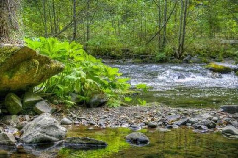
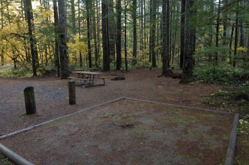
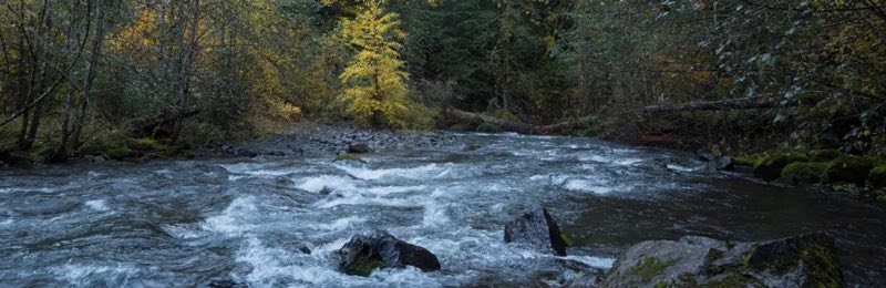
The Campground sits along Panther Creek at the intersection of the Pacific Crest Trail. Driving on FR65, 4.7 miles upstream from the campground, visitors can enjoy an easy hike to Panther Falls. Campers can enjoy the privacy provided by a variety of shade-loving plants and a thick forest of cedars, ash, firs and alder.
- Operator
- National Forest
- Camping types
- Tent, RV
- Fee
- From $8 per night (confirm with the operator)
- Reservations
- Reservable online
- Phone
- 541-338-7869
Amenities
Location
Nearby adventures
Hikes and trailheads
- PCT - Washington Section H
A long-distance route from Cascade Locks to Hwy 12.
Show on map - PCT - Washington Section H
A long-distance route from Cascade Locks to Hwy 12.
Show on map - Falls Creek Trail #152
The gradual grade of this 9 mile trail slowly climbs away from Falls Creek and crosses 2 creeks before reaching the waterfall in approximately 2.5 miles. OpenStreetMap
Show on map - Trapper Creek Trail #192
The trail follows Trapper Creek through the Trapper Creek Wilderness climbing steeply up to a junction with the Big Hollow Trail near Sister Rocks. OpenStreetMap
Show on map - Dry Creek Trail #194
This 4 mile trail runs north and south to the east of Trapper Creek Wilderness. OpenStreetMap
Show on map - Soda Peaks Lake Trail #133
This 5.5 mile trail accesses the southwest corner of Trapper Creek Wilderness. OpenStreetMap
Show on map
Scenic sights
- Green KnobShow on map
- Panther Creek Falls
A 136-foot waterfall.
Show on map - Sedum PointShow on map
- Falls Creek Falls
A 335-foot waterfall near Falls Creek Trail #152.
Show on map - Falls Creek Lava CavesShow on map
Climbing and snow sports
- Tubing HillShow on map
- Monte Cristo SlabShow on map
- FarsideShow on map
Trail and sight data: OpenStreetMap contributors (ODbL).
Reviews
Data sources
Listing details come from the sources above and may be out of date. Confirm fees, dates and closures with the operator before you travel.