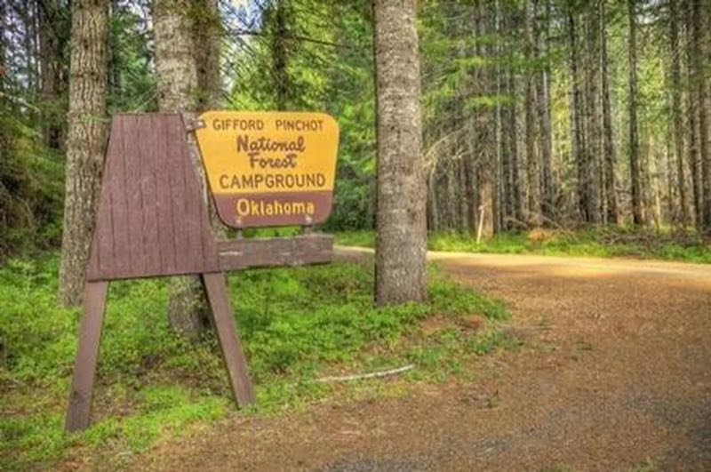
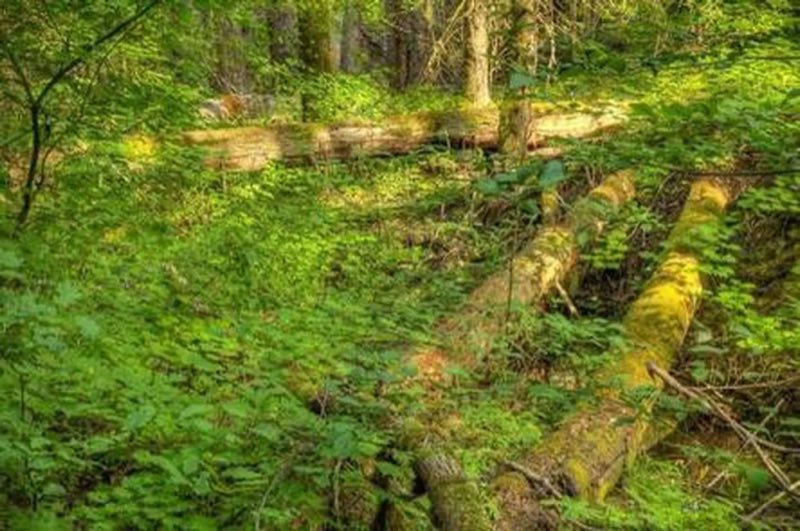
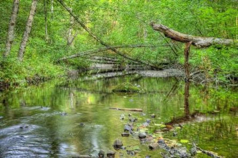
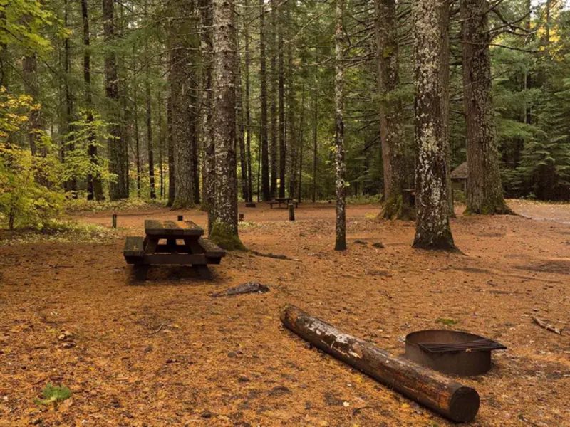
Photos: USFS · courtesy of Recreation.gov. Click a photo to enlarge.
Oklahoma campground
Overview
Oklahoma Campground is nestled in a lush grove of large hemlock, cedar, maple and fir trees alongside the Little White Salmon River, near the Columbia River Gorge. The campground is flat and is ideal for smaller groups to camp in clusters. Recreation Big Lava Bed is located just west of the campground.
- Operator
- National Forest
- Camping types
- Tent
- Sites
- 14 campsites
- Fee
- From $8 per night (confirm with the operator)
- Reservations
- Reservable online
- Phone
- 541-338-7869
Amenities
Location
Nearby adventures
Hikes and trailheads
- Trailhead: Monte Cristo-Lower
Provides access to : Monte Cristo Trail #53 which links up to Monte Carlo Trail #52 . Recreation.gov
Show on map - Little Huckleberry Trail #49
This trail climbs a long, forested ridge on the north side of Little Huckleberry Mountain. OpenStreetMap
Show on map - Trailhead: Monte Carlo-Upper
Provides access to : Monte Carlo #52 and Monte Cristo #53 trail system. Recreation.gov
Show on map - Trailhead: Monte Cristo-Upper
Provides access to : Monte Christo Trail #53 from the north. Recreation.gov
Show on map - Buck Creek TrailShow on map
- Nestor Peak HikeShow on map
Scenic sights
- Trail Peak ViewpointShow on map
- Mann ButteShow on map
- Buck Creek Falls
A waterfall along Buck Creek Trail.
Show on map - BZ FallsShow on map
- Guler Ice CaveShow on map
Climbing and snow sports
- Monte Cristo SlabShow on map
- Atkisson Sno-Park
A ski area, operated by Washington State Parks and Recreation.
Show on map - Wankers ColumnsShow on map
Trail and sight data: Recreation.gov and OpenStreetMap contributors (ODbL).
Reviews
Data sources
Listing details come from the sources above and may be out of date. Confirm fees, dates and closures with the operator before you travel.