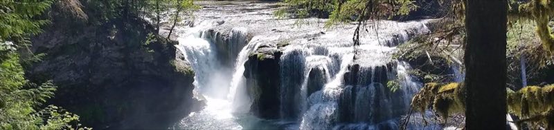
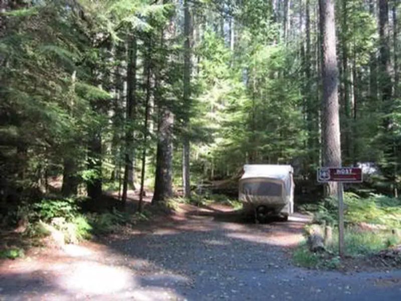
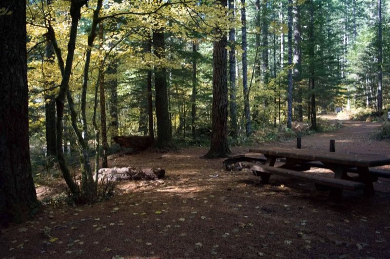
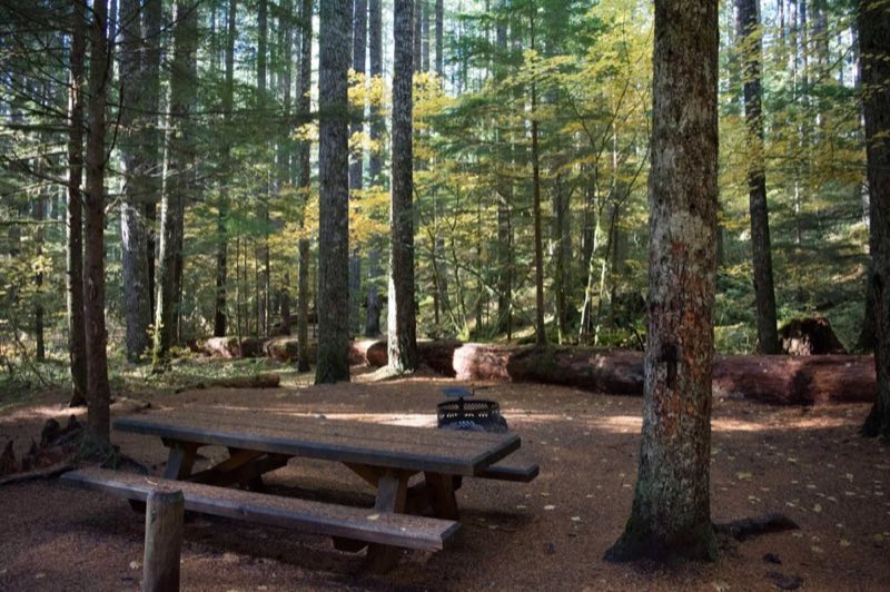
Photos: Gifford Pinchot National Forest · courtesy of Recreation.gov. Click a photo to enlarge.
Lower Falls Campground
Overview
Lower Falls Campground is located in the Gifford Pinchot National Forest. Visitors enjoy several waterfalls in the area and access to the Lewis River Trail. The campground is open from mid-May through October.
- Operator
- National Forest
- Camping types
- RV, Tent
- Sites
- 60 campsites
- Fee
- From $20 per night (confirm with the operator)
- Reservations
- Reservable online
- Phone
- 509-395-3400
Amenities
Location
Nearby adventures
Hikes and trailheads
- Lewis River TrailShow on map
- Steamboat Viewpoint Trail #14
A trail starting near Steamboat Mountain Trailhead, maintained by US Forest Service.
Show on map - Sawtooth Mountain Trail #107
This trail is a former section of the Pacific Crest Trail which was relocated to skirt the lower west flank Sawtooth Mountain. OpenStreetMap
Show on map - Cultus Creek Trail #108
This popular 1.5 mile trail begins at Cultus Creek Campground/Trailhead and enters Indian Heaven Wilderness. OpenStreetMap
Show on map - Steamboat Lake Trail #70
This 0.5 mile trail follows the northern edge of Steamboat Lake to the Pacific Crest National Scenic Trail #2000. OpenStreetMap
Show on map - Placid Lake Trail #29
This heavily used trail begins on the northwest side of Indian Heaven Wilderness. OpenStreetMap
Show on map
Scenic sights
- Lower Lewis River Falls
A 43-foot waterfall along Lewis River Trail.
Show on map - Chickoon Creek Falls
A 78-foot waterfall.
Show on map - Pataniks PushtyeShow on map
- West Twin ButteShow on map
- Curly Creek Falls Viewpoint
A viewpoint near Lewis River Trail.
Show on map
Climbing and snow sports
- Tubing HillShow on map
- Mount AdamsShow on map
- Monte Cristo SlabShow on map
Trail and sight data: OpenStreetMap contributors (ODbL).
Reviews
Data sources
Listing details come from the sources above and may be out of date. Confirm fees, dates and closures with the operator before you travel.