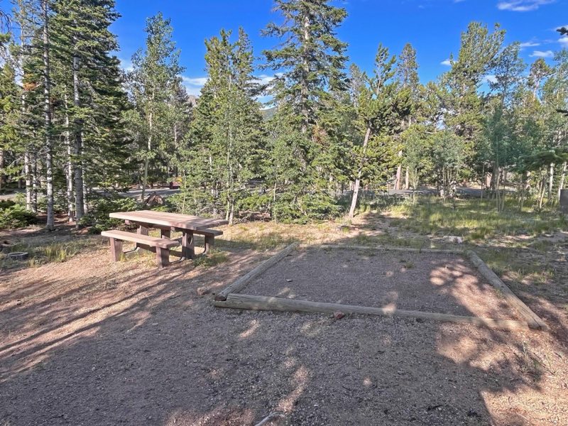
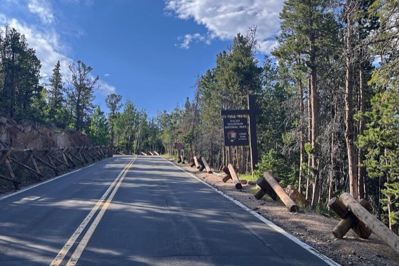
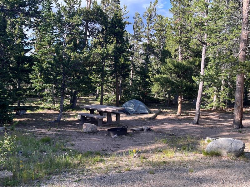
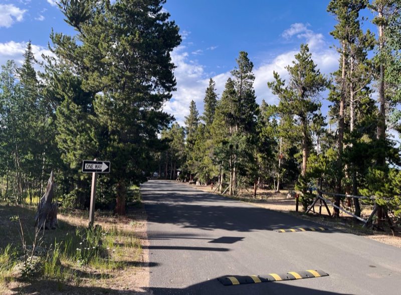
Photos: NPS Photo · courtesy of National Park Service. Click a photo to enlarge.
Longs Peak Campground
Overview
Longs Peak Campground is closed for the 2026 season. If planning to camp inside RMNP, please check availability at Aspenglen, Timber Creek, or Moraine Park Campgrounds.
- Operator
- National Park
- Camping types
- Tent
- Sites
- 26 campsites
- Fee
- From $30 per night (confirm with the operator)
- Reservations
- Reservable online
- Phone
- 970-586-1206
Amenities
Location
Nearby adventures
Hikes and trailheads
- Longs Peak Trail
The East Longs Peak Trail, Longs Peak Trail, Keyhole Route or Shelf Trail in Rocky Mountain National Park is listed on the National Register of Historic Places for its significance in the… Wikipedia
Show on map - North Longs Peak TrailShow on map
- Twin Sisters TrailheadShow on map
- Bright Extension Trailhead
Located 2.2 miles east of County Road 82E on the south side of Johnny Park Road (National Forest System Road 118), the trailhead is marked with a small sign near a minor saddle. Recreation.gov
Show on map - Lily Lake TrailheadShow on map
- Black Lake Trail
A trail in Glacier Gorge in Rocky Mountain National Park that continues beyond Mills Lake to Black Lake. AI-written
Show on map
Mountain biking
- Limber Pine Trail
A loop mountain-bike route.
Show on map - Sourdough TrailShow on map
- Wapiti TrailShow on map
- South Saint Vrain
A mountain-bike route starting near South Saint Vrain Trailhead.
Show on map
Scenic sights
- Twin Sisters Peaks
The Twin Sisters Peaks are mountains in Colorado, located in the Front Range in Larimer County, Colorado, straddling Rocky Mountain National Park and Roosevelt National Forest. Wikipedia
Show on map - Horsetooth PeakShow on map
- Columbine FallsShow on map
- Lyric FallsShow on map
- Dream Lake Overlook
A viewpoint above Dream Lake in Rocky Mountain National Park. AI-written
Show on map
Climbing and snow sports
- Bulk Lunch ButtressShow on map
- Little FinShow on map
- Left Hand RockShow on map
Trail and sight data: OpenStreetMap contributors (ODbL) and Recreation.gov. Text marked Wikipedia is from Wikipedia under CC BY-SA 4.0, lightly shortened. Text marked AI-written was drafted by an AI model from public data and may contain errors.
Reviews
Data sources
Listing details come from the sources above and may be out of date. Confirm fees, dates and closures with the operator before you travel.