Photos: NPS Photo / Terry Sauceda · courtesy of National Park Service. Click a photo to enlarge.
Log Yard Campground
Overview
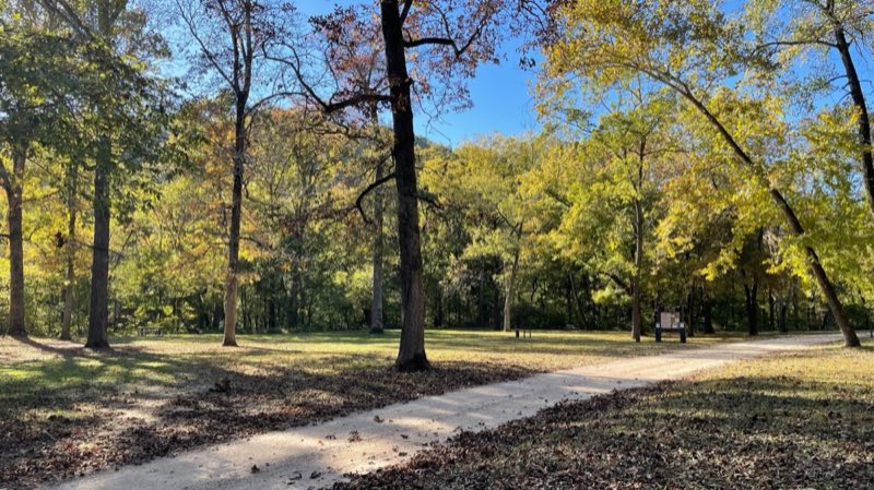
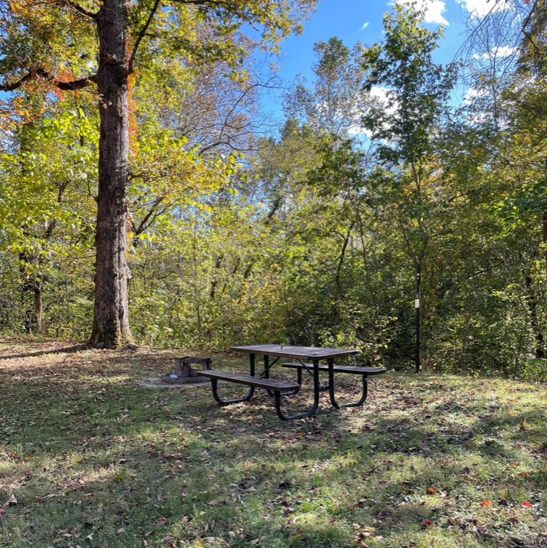
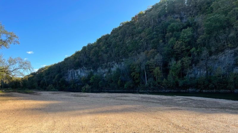
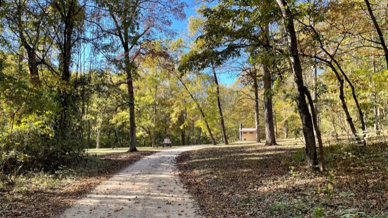
Log Yard Campground offers well-maintained campsites in the backcountry of Ozark National Scenic Riverways. On the nearby banks of the Current River, large gravel bars and impressive bluffs await. Also, as one of the darkest areas of the park, this campground makes for fantastic stargazing.
- Operator
- National Park
- Camping types
- Tent
- Sites
- 6 campsites
- Fee
- From $10 per night (confirm with the operator)
- Reservations
- Reservable online
- Phone
- 573-323-4236
Amenities
Location
Nearby adventures
Hikes and trailheads
- Ozark Trail
The Ozark Trail is a hiking, backpacking, and, in many places, biking and equestrian trail under construction in the Missouri Ozarks in the United States. Wikipedia
Show on map - Blue Spring TrailShow on map
- Peck Ranch THShow on map
- Powder Mill THShow on map
- Rocky Creek TrailheadShow on map
- Refresh at Big Spring
Rejuvenate your mind and spirit at Big Spring while embracing the soothing water sounds. National Park Service
Show on map
Rivers and rafting
- Paddle Jacks Fork RiverShow on map
- Paddle the Upper Current RiverShow on map
Scenic sights
- Russell MountainShow on map
- Cardareva MountainShow on map
- Rocky FallsShow on map
- Prairie Hollow OverlookShow on map
- Richbark CaveShow on map
Trail and sight data: National Park Service and OpenStreetMap contributors (ODbL). Text marked Wikipedia is from Wikipedia under CC BY-SA 4.0, lightly shortened.
Reviews
Data sources
Listing details come from the sources above and may be out of date. Confirm fees, dates and closures with the operator before you travel.