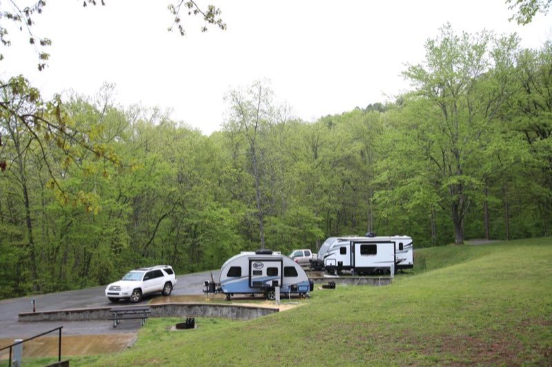
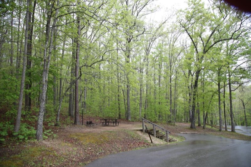
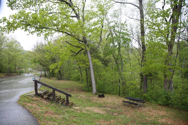
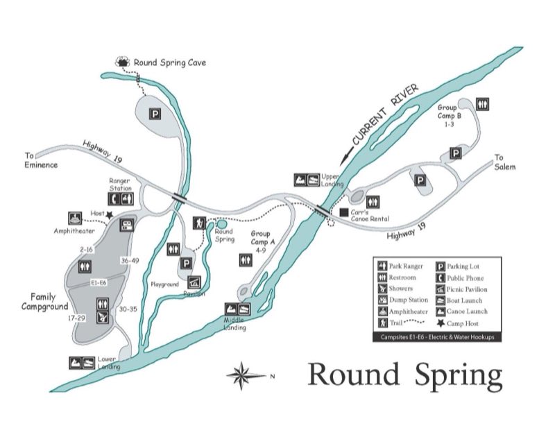
Photos: NPS Photo / Wil Marischen, NPS · courtesy of National Park Service. Click a photo to enlarge.
Round Spring Campground
National ParkMissouriTentRV
Overview
Round Spring Campground hosts sites in and along the forest, offering a more quiet, intimate experience with nature. This location has easy access to Round Spring and the Current River. Nearby trails connect to Echo Bluff and Current River State Park, making this campground a popular hub for hiking and floating.
- Operator
- National Park
- Camping types
- Tent, RV
- Sites
- 55 campsites
- Fee
- From $10 per night (confirm with the operator)
- Reservations
- Reservable online
- Phone
- 573-858-3297
Amenities
🚻Toilets
🚿Showers
💧Potable Water
♻️Dump Station
🔌Electric Hookups
♿Wheelchair Access
🏊Swimming
🥾Hiking
🎣Fishing
Location
Nearby adventures
Hikes and trailheads
- Round Spring TrailShow on map
- Current River TrailShow on map
- Painter Ridge TrailShow on map
- Ninebark TrailShow on map
- Serenity at Alley Spring
Be present and practice deep breathing while observing the scenery at Alley Spring. National Park Service
Show on map - Pulltite Nature TrailShow on map
Rivers and rafting
- Paddle the Upper Current RiverShow on map
- Paddle Jacks Fork RiverShow on map
Scenic sights
- Courthouse CaveShow on map
- Tip Top MountainShow on map
- Bald KnobShow on map
- Prairie Hollow OverlookShow on map
- Devil's BackboneShow on map
Trail and sight data: National Park Service and OpenStreetMap contributors (ODbL).
Reviews
Been here? Leave a review
Data sources
Listing details come from the sources above and may be out of date. Confirm fees, dates and closures with the operator before you travel.