Photos: NPS Photo / Wil Marischen · courtesy of National Park Service. Click a photo to enlarge.
Jerktail Campground
Overview
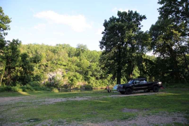
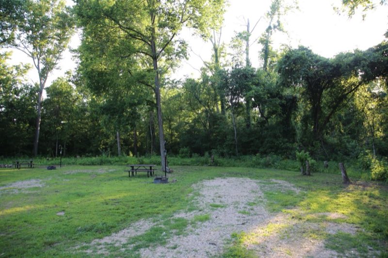
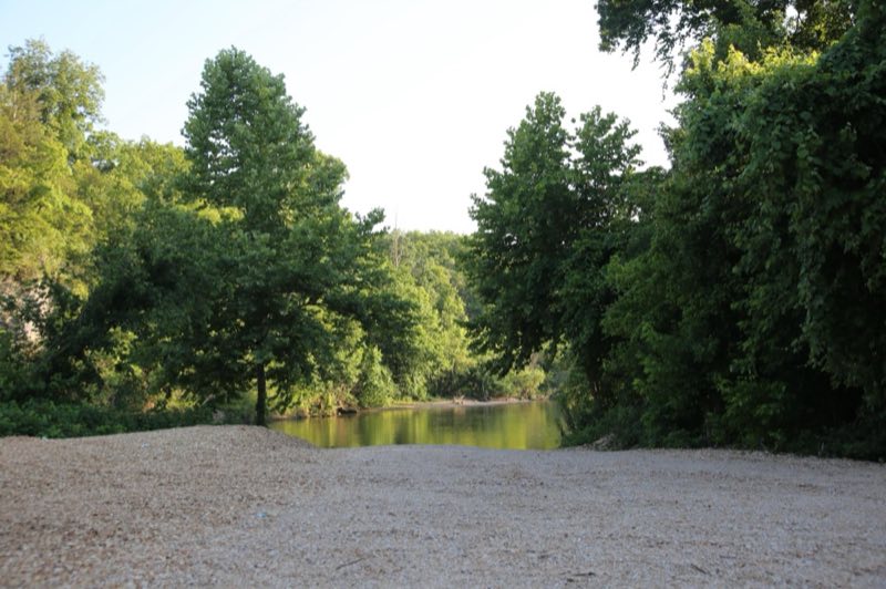
On summer days, Jerktail is a bustling location for floating, swimming, and recreation. The Current River, huge gravel bars, deep swimming holes, and impressive bluffs draw visitors year after year. At night, campers can enjoy beautiful night skies and true Ozark seclusion.
- Operator
- National Park
- Camping types
- Tent
- Sites
- 3 campsites
- Fee
- From $10 per night (confirm with the operator)
- Reservations
- Reservable online
- Phone
- 573-323-4236
Amenities
Location
Nearby adventures
Hikes and trailheads
- Ozark Trail
The Ozark Trail is a hiking, backpacking, and, in many places, biking and equestrian trail under construction in the Missouri Ozarks in the United States. Wikipedia
Show on map - Serenity at Alley Spring
Be present and practice deep breathing while observing the scenery at Alley Spring. National Park Service
Show on map - Round Spring TrailShow on map
- Himont TrailheadShow on map
- Current River TrailShow on map
- Painter Ridge TrailShow on map
Rivers and rafting
- Paddle Jacks Fork RiverShow on map
- Paddle the Upper Current RiverShow on map
Scenic sights
- Tip Top MountainShow on map
- Little Cave Hollow CaveShow on map
- Prairie Hollow OverlookShow on map
- Williams MountainShow on map
- Rocky FallsShow on map
Trail and sight data: National Park Service and OpenStreetMap contributors (ODbL). Text marked Wikipedia is from Wikipedia under CC BY-SA 4.0, lightly shortened.
Reviews
Data sources
Listing details come from the sources above and may be out of date. Confirm fees, dates and closures with the operator before you travel.