Photos: NPS · courtesy of National Park Service. Click a photo to enlarge.
Gates of Lodore Campground
Overview
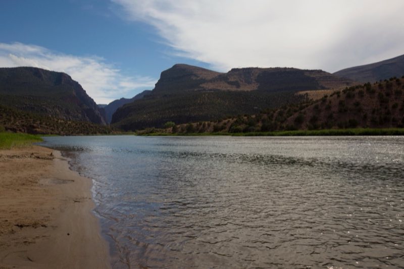
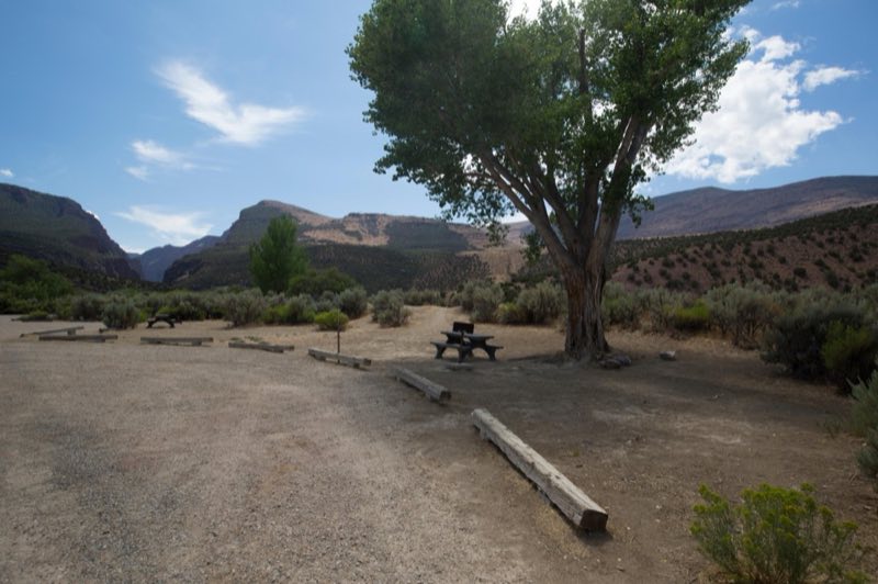
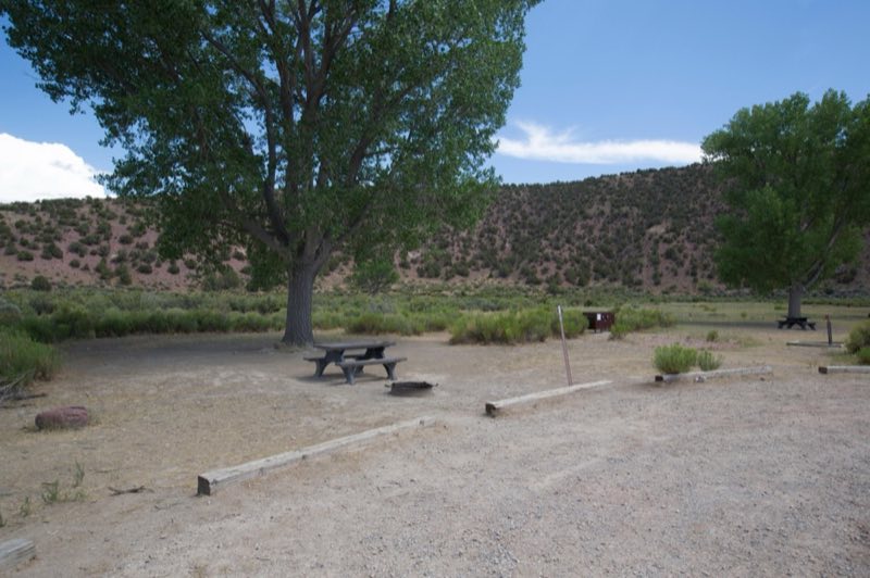
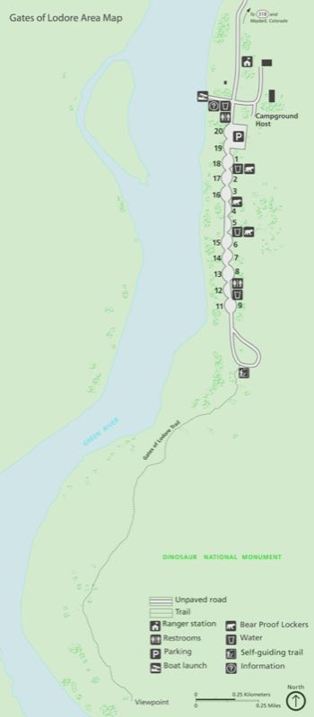
Gates of Lodore Campground is located on the Green River at the boat ramp at the head of Lodore Canyon. The campground is popular with river rafters who often stay here before launching on the Green River. There are 19 sites, some with shade. The sites have tables and fire pits or grills.
- Operator
- National Park
- Camping types
- Tent, RV
- Sites
- 19 campsites
- Fee
- From $12 per night (confirm with the operator)
- Reservations
- No online reservations listed
- Phone
- 435-781-7700
Amenities
Location
Nearby adventures
Hikes and trailheads
- Gates of Lodore Trail
The Gates of Lodore Trail is a short but scenic walk to a view of the Green River as it enters the Canyon of Lodore. National Park Service
Show on map - Gates of Lodore Trail
The Gates of Lodore Trail is a short but scenic walk to a view of the Green River as it enters the Canyon of Lodore. National Park Service
Show on map - Jones Hole Trail
Jones Hole Trail is a popular hike along a babbling brook near the northwest corner of Dinosaur National Monument. National Park Service
Show on map - Jones Hole Trail
Jones Hole Trail is a popular hike along a babbling brook near the northwest corner of Dinosaur National Monument. National Park Service
Show on map - Confluence Trail
The Confluence Trail provides a short and easy walk to the confluence of the Green and Yampa Rivers at Echo Park. National Park Service
Show on map - Confluence Trail
The Confluence Trail provides a short and easy walk to the confluence of the Green and Yampa Rivers at Echo Park. National Park Service
Show on map
Rivers and rafting
- River Rafting at DinosaurShow on map
- River Rafting at DinosaurShow on map
Scenic sights
- Douglas MountainShow on map
- Horshoe Bottom OverlookShow on map
- Zenobia Peak
Zenobia Peak, elevation 9,022 ft, is the highest summit in Dinosaur National Monument of Moffat County, Colorado. Wikipedia
Show on map - Spitzie Wetland OverlookShow on map
- On-Off FallsShow on map
Climbing and snow sports
- Buckskin Hills Ski + Tubing HillShow on map
Trail and sight data: National Park Service and OpenStreetMap contributors (ODbL). Text marked Wikipedia is from Wikipedia under CC BY-SA 4.0, lightly shortened.
Reviews
Data sources
Listing details come from the sources above and may be out of date. Confirm fees, dates and closures with the operator before you travel.