Photos: NPS, NPS / Molly Swindle · courtesy of National Park Service. Click a photo to enlarge.
Echo Park Campground
Overview
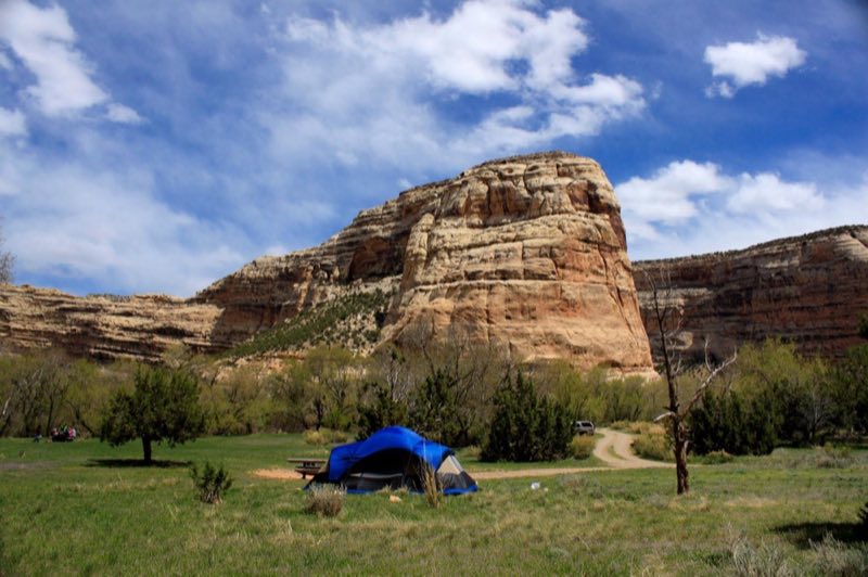
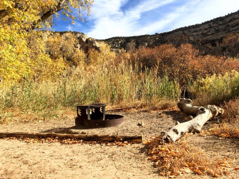
Situated along the Green River at the base of towering cliffs, the Echo Park Campground provides a unique camping experience in Dinosaur National Monument. Steamboat Rock dominates the view. Fremont petroglyphs are located on the canyon walls. Bighorn sheep and mule deer frequently roam through the campground.
- Operator
- National Park
- Camping types
- Tent
- Sites
- 22 campsites
- Reservations
- Reservable online
- Phone
- 435-781-7700
Amenities
Location
Nearby adventures
Hikes and trailheads
- Confluence Trail
The Confluence Trail provides a short and easy walk to the confluence of the Green and Yampa Rivers at Echo Park. National Park Service
Show on map - Confluence Trail
The Confluence Trail provides a short and easy walk to the confluence of the Green and Yampa Rivers at Echo Park. National Park Service
Show on map - Harpers Corner Trail
The Harpers Corner Trail runs along a narrow ridge to a spectacular viewpoint with views of the rivers far below. National Park Service
Show on map - Harpers Corner Trail
The Harpers Corner Trail runs along a narrow ridge to a spectacular viewpoint with views of the rivers far below. National Park Service
Show on map - Jones Hole Trail
Jones Hole Trail is a popular hike along a babbling brook near the northwest corner of Dinosaur National Monument. National Park Service
Show on map - Jones Hole Trail
Jones Hole Trail is a popular hike along a babbling brook near the northwest corner of Dinosaur National Monument. National Park Service
Show on map
Rivers and rafting
- River Rafting at DinosaurShow on map
- River Rafting at DinosaurShow on map
Scenic sights
- Jenny Lind RockShow on map
- Steamboat Rock
Steamboat Rock, reaching an elevation of 6,074 ft is a promontory located in the eastern Uinta Mountains, in Moffat County of northwest Colorado, United States. Wikipedia
Show on map - Whispering CaveShow on map
- Harper's Corner
A viewpoint at the end of Harpers Corner Road in Dinosaur National Monument, overlooking the Green and Yampa rivers. AI-written
Show on map - Echo Park Overlook
A viewpoint in Dinosaur National Monument over Echo Park, where the Yampa and Green rivers meet. AI-written
Show on map
Climbing and snow sports
- Buckskin Hills Ski + Tubing HillShow on map
Trail and sight data: National Park Service and OpenStreetMap contributors (ODbL). Text marked Wikipedia is from Wikipedia under CC BY-SA 4.0, lightly shortened. Text marked AI-written was drafted by an AI model from public data and may contain errors.
Reviews
Data sources
Listing details come from the sources above and may be out of date. Confirm fees, dates and closures with the operator before you travel.