Photos: CLM Staff · courtesy of Recreation.gov. Click a photo to enlarge.
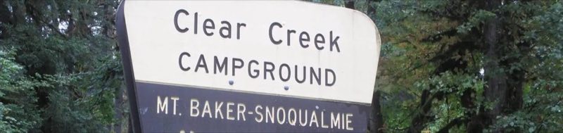
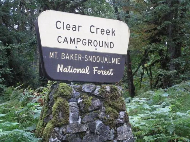
Clear Creek Campground
Overview
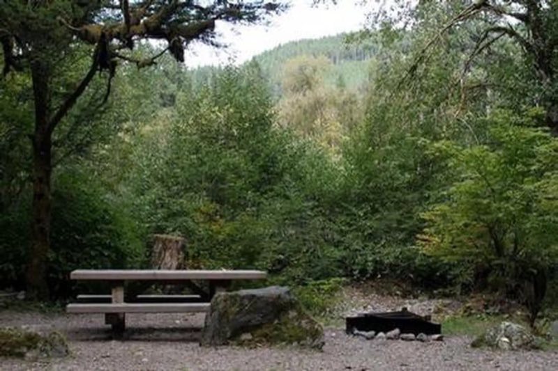
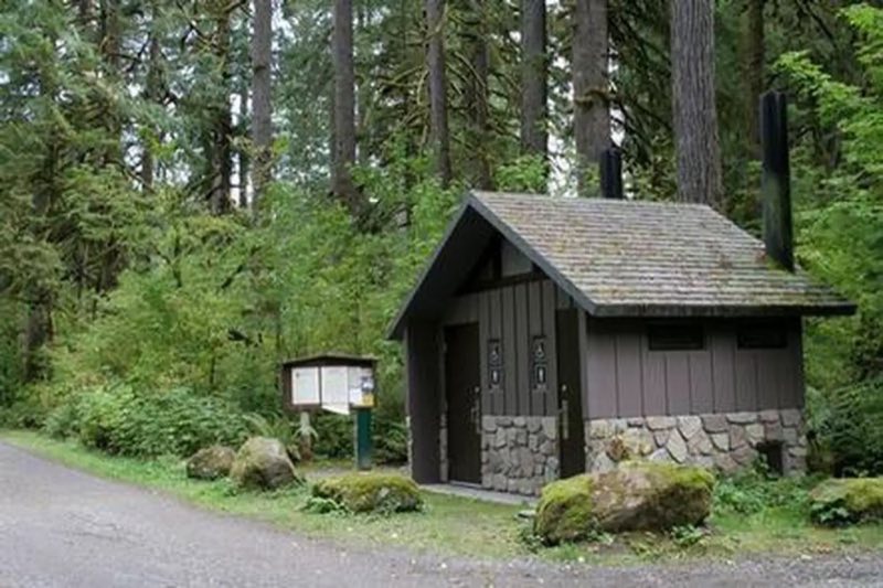
Clear Creek Campground is located just off the Mountain Loop Highway in the stunning Mt. Baker-Snoqualmie National Forest. Nestled in a towering canopy of fir trees, this campground offers plenty of open spaces, making it perfect for small groups and family excursions. Mt.
- Operator
- National Forest
- Camping types
- Tent, Free camping
- Sites
- 13 campsites
- Fee
- Free
- Reservations
- Reservable online
- Phone
- 360-804-1103
Amenities
Location
Nearby adventures
Hikes and trailheads
- Frog Lake Trail
A trail maintained by Mt. Baker-Snoqualmie National Forest.
Show on map - Old Sauk Trail
A trail maintained by Mt. Baker-Snoqualmie National Forest.
Show on map - Squire Creek Trail
A trail maintained by Mt. Baker-Snoqualmie National Forest.
Show on map - Whitehorse Trail
A trail starting near Miller Shingle, maintained by Snohomish County.
Show on map - Eight-Mile Trail
A trail maintained by Mt. Baker-Snoqualmie National Forest.
Show on map - White Chuck Bench Trail
A trail starting near Crystal Creek Trailhead, maintained by Mt. Baker-Snoqualmie National Forest.
Show on map
Scenic sights
- Jumbo Mountain
Jumbo Mountain is a 5,825-foot-elevation summit near the western edge of the North Cascades, in Snohomish County of Washington state. Wikipedia
Show on map - Gold MountainShow on map
- Asbestos Falls
Asbestos Falls is a waterfall on Clear Creek in Snohomish County, Washington, United States. Wikipedia
Show on map - Three Fingers viewpoint
A viewpoint along Marten Creek Trail.
Show on map - Big Four Ice Caves
Big Four Mountain is a mountain in the Cascade Range of Washington, located 21 miles east of Granite Falls. Wikipedia
Show on map
Climbing and snow sports
- Three O'Clock RockShow on map
- Glacier Peak WildernessShow on map
- Morning Star PeakShow on map
Trail and sight data: OpenStreetMap contributors (ODbL). Text marked Wikipedia is from Wikipedia under CC BY-SA 4.0, lightly shortened.
Reviews
Data sources
Listing details come from the sources above and may be out of date. Confirm fees, dates and closures with the operator before you travel.