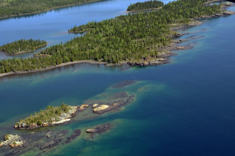
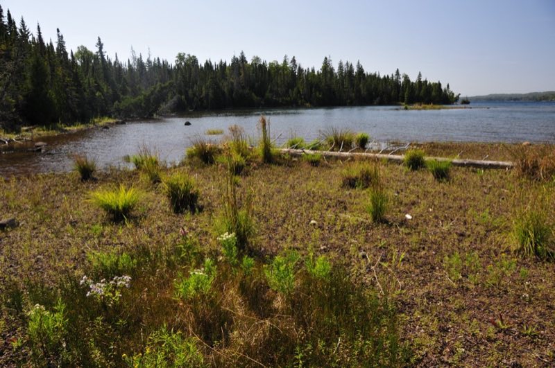
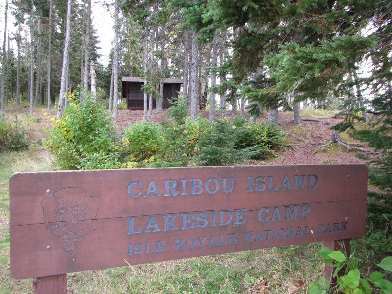
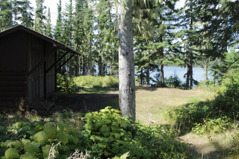
Photos: NPS Paul Brown, NPS / Paul Brown, NPS / Mike Ausema, NPS / Alan West · courtesy of National Park Service. Click a photo to enlarge.
Caribou Island Campground
Overview
Caribou Island Campground is located on the very western tip of West Caribou Island, in Rock Harbor Channel, on the northeast end of Isle Royale National Park. Boats can dock overnight. Stay Limit: 3 nights effective from June 1 – Labor Day.
- Operator
- National Park
- Camping types
- Tent, Free camping
- Sites
- 3 campsites
- Fee
- Free
- Reservations
- No online reservations listed
- Phone
- 906-482-0984
Amenities
Location
Nearby adventures
Hikes and trailheads
- Hike to Suzy's Cave
Discover Suzy’s Cave, a wave-washed cliff and an inland sea arch, found on Isle Royale’s eastern end. National Park Service
Show on map - Rock Harbor TrailShow on map
- Explore Raspberry Island
Take a leisurely walk along a boardwalk through the spruce bog on Raspberry Island accessible by private boat, vessel rental, or a tour on the MV SANDY from Rock Harbor on Isle Royale’s… National Park Service
Show on map - Stoll Memorial Trail (Scoville Point)
Memorial Trail is a relatively easy hiking trail that captures the majesty of Lake Superior and engages with the wilderness character of Isle Royale National Park. National Park Service
Show on map - Greenstone Ridge TrailShow on map
- Mount Ojibway TrailShow on map
Rivers and rafting
- Paddle Tobin Harbor
Embark on a serene paddle in Tobin Harbor, on the east end of Isle Royale National Park. National Park Service
Show on map - Portage from McCargoe Cove to Chickenbone Lake
Enter the island's interior by portaging from McCargoe Cove to Chickenbone Lake. National Park Service
Show on map - Portage from Chickenbone Lake to Lake Livermore
The portage between Chickenbone Lake and Lake Livermore is a short and steep 0.2 miles. National Park Service
Show on map
Scenic sights
- Ransom Hill
A peak near Daisy Farm Trail.
Show on map - Mount Ojibway
A peak along Greenstone Ridge Trail.
Show on map - Suzys CaveShow on map
- Lookout Louise
A viewpoint near Greenstone Ridge Trail.
Show on map
Trail and sight data: National Park Service and OpenStreetMap contributors (ODbL).
Reviews
Data sources
Listing details come from the sources above and may be out of date. Confirm fees, dates and closures with the operator before you travel.