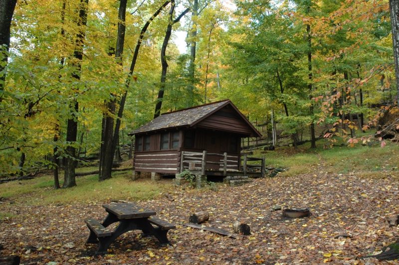
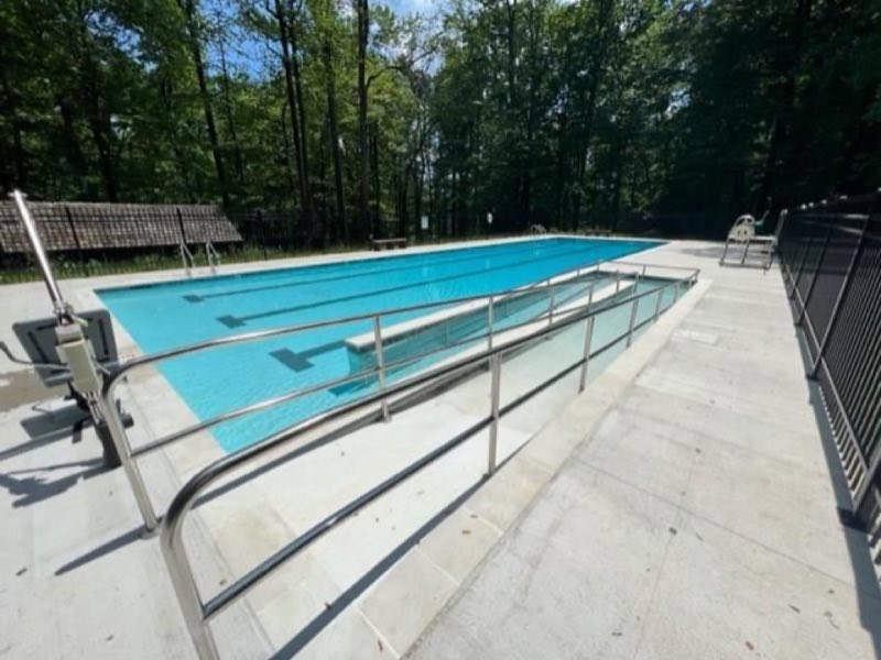
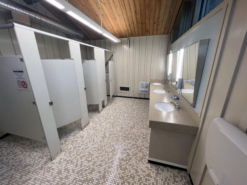
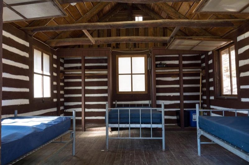
Photos: NPS Photo, NPS Photo/ Jessyca Krueger, NPS Photo/John Zuke · courtesy of National Park Service. Click a photo to enlarge.
Camp Misty Mount
Overview
Advanced reservations required. Camp Misty Mount is a cabin rental facility for individuals, families, or small groups. This historic cabin camp was completed in 1937 by the Works Progress Administration. The camp is surrounded by hardwood forests on the slopes of Catoctin Mountain Park.
- Operator
- National Park
- Camping types
- Tent
- Sites
- 29 campsites
- Reservations
- Reservable online
- Phone
- 877-444-6777
Amenities
Location
Nearby adventures
Hikes and trailheads
- to Chimney Rock: The Orange Blazed TrailShow on map
- to Thurmont Vista: The Pink Blazed TrailShow on map
- to the Falls and Hog Rock: The Yellow Blazed Trail
This loop is a moderate hike with uphill and downhill sections of the trail that include moderate to steep inclines. National Park Service
Show on map - Blue Blazes Whiskey Still Trail
As you travel along the Blue Blazes creek, interpretive trailside signs explore stream ecology and the history of whiskey production on Catoctin Mountain during the time of Prohibition. National Park Service
Show on map - Orange Trail
This loop trail contains the most strenuous sections of trail in the park. OpenStreetMap
Show on map - Charcoal Exhibit Trail
This one-half mile loop trail will take you along several exhibits and displays that will tell the story of the once thriving charcoal making industry on the mountain. National Park Service
Show on map
Scenic sights
- South Bob's Hill Overlook
View across the valley of Frederick Municipal Forest, and beyond. OpenStreetMap
Show on map - Catoctin Mountain
Catoctin Mountain, along with the geologically associated Bull Run Mountains, forms the easternmost mountain ridge of the Blue Ridge Mountains, which are in turn a part of the Appalachian… Wikipedia
Show on map - Chimney Rock
A peak along Orange Trail.
Show on map - Hog Rock
A viewpoint along Hog Rock Nature Trail.
Show on map - Cunningham Falls
A 78-foot waterfall along Cliff Trail.
Show on map
Climbing and snow sports
- Rock Climbing
Wolf Rock is the only location on site open to technical rock climbing. National Park Service
Show on map - Cross-Country Skiing
Generally, the best skiing is along certain sections of park roads which are closed to vehicular traffic. National Park Service
Show on map
Trail and sight data: National Park Service and OpenStreetMap contributors (ODbL). Text marked Wikipedia is from Wikipedia under CC BY-SA 4.0, lightly shortened.
Reviews
Data sources
Listing details come from the sources above and may be out of date. Confirm fees, dates and closures with the operator before you travel.