Photos: NPS Photo/Glynn Wilson, NPS, NPS Photo · courtesy of National Park Service. Click a photo to enlarge.
Greenbelt Park Campground
Overview
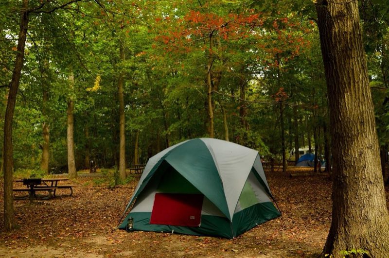
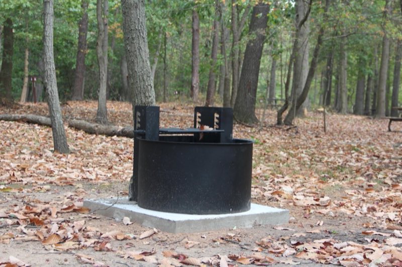
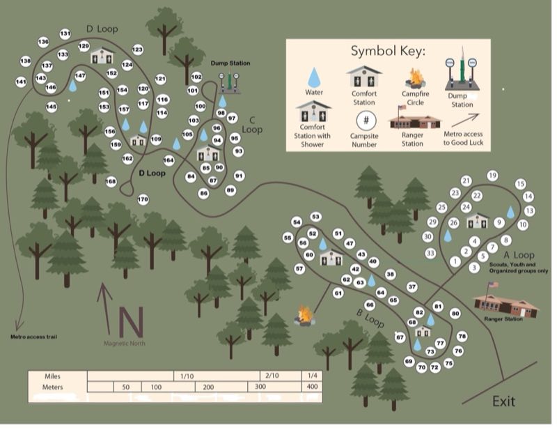
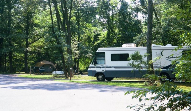
The park features a 172 site campground and is open year round. The campground is known for its affordability, safety, peaceful surroundings, and National Park Service hospitality. Campers must pay for sites via the online reservation system.
- Operator
- National Park
- Camping types
- Tent, RV
- Sites
- 172 campsites
- Fee
- From $20 per night (confirm with the operator)
- Reservations
- Reservable online
- Phone
- 771-208-1588
Amenities
Location
Nearby adventures
Hikes and trailheads
- ADT - Maryland - Seg 3
Greenbelt Park to Georgetown - Washington D.C. OpenStreetMap
Show on map - ADT - Maryland - Seg 3
Greenbelt Park to Georgetown - Washington D.C. OpenStreetMap
Show on map - Dogwood Trail 1.6 miles
Dogwood trailhead with a trail going in to the woods of Greenbelt Park. National Park Service
Show on map - Azalea Trail 1.2 miles
Walk the Azalea Trail through the forest of Greenbelt Park. (1.2 miles) Park across the street , pick up a park brochure (with trail maps and descriptions included in the brochure) enjoy a… National Park Service
Show on map - Perimeter Trail 5.2 miles
Park in the Sweetgum Picnic Area, pick up a park brochure (with trail maps and descriptions included in the brochure) and enjoy a 5.2 mile walk through Greenbelt Park. National Park Service
Show on map - Rachel Carson Greenway Trail
Lots to see on this hiking exclusive corridor along the Northwest Branch. OpenStreetMap
Show on map
Mountain biking
- Mountain Bike Fort Dupont!
Mountain bike in metropolitan D.C.! National Park Service
Show on map - Bike the Anacostia River Trail
This trail continues North into Maryland and across two bridges into downtown D.C. National Park Service
Show on map - Northwest Branch TrailShow on map
- Rachel Carson Greenway TrailShow on map
Rivers and rafting
- Chronic Sailing
Step aboard a sailboat to explore the Chesapeake Bay. National Park Service
Show on map - Chronic Sailing
Step aboard a sailboat to explore the Chesapeake Bay. National Park Service
Show on map - Chronic Sailing
Step aboard a sailboat to explore the Chesapeake Bay. National Park Service
Show on map
Scenic sights
- College Park Airport
A viewpoint near ADT - Maryland - Seg 3.
Show on map - Paint BranchShow on map
- Hoover HillShow on map
- Mount Saint SepulchreShow on map
- Stubblefield Falls
A waterfall near Billy Goat Trail Section C.
Show on map
Trail and sight data: OpenStreetMap contributors (ODbL) and National Park Service.
Reviews
Data sources
Listing details come from the sources above and may be out of date. Confirm fees, dates and closures with the operator before you travel.