Photos: Local staff · courtesy of Recreation.gov. Click a photo to enlarge.
Bumping Lake Campground
Overview
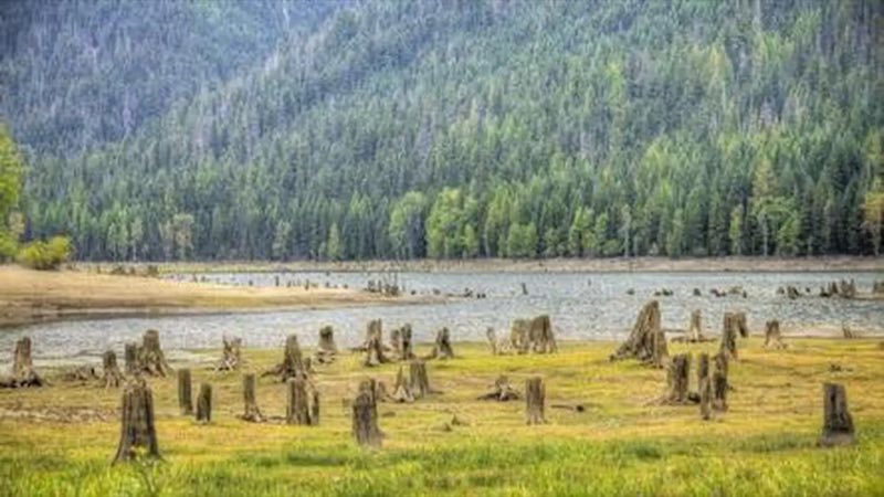
Bumping Lake Campground sits just off the forested shore of Bumping Lake. It is in the Cascade Mountains east of Mount Rainier National Park and about 45 miles northwest of Naches, Washington.
- Operator
- National Forest
- Camping types
- RV, Tent
- Fee
- From $8 per night (confirm with the operator)
- Reservations
- Reservable online
- Phone
- 541-338-7869
Amenities
Location
Nearby adventures
Hikes and trailheads
- American Ridge Trail
Provides access to: American Ridge Trail #958 within William O. Recreation.gov
Show on map - Fish Lake Way Trailhead
Provides access to: Fish Lake Way Trail #971A and Bumping Lake Trail #971 within William O. Recreation.gov
Show on map - Cougar FlatShow on map
- Kettle Creek TrailShow on map
- Union Creek Sno-Park/Trailhead
In the winter this Sno-Park offers access to cross-country trails in winter and four parking spaces. Recreation.gov
Show on map - Crow Lake Way Trailhead / Sno-Park
Provides access to: Crow Lake Way Trail #953 which enters Norse Peak Wilderness . Recreation.gov
Show on map
Mountain biking
- Middle Fork Trail
A mountain-bike route from Forest Road 1913 to Forest Road 1902.
Show on map - Pyramid Peak TrailShow on map
- Quartz Mountain Trail
A mountain-bike route from Forest Road 1904-740 to Manastash RidgeTrail.
Show on map - Mount Clifty Trail
A mountain-bike route from Forest Road 1905 to Manastash Ridge.
Show on map
Scenic sights
- Mount Aix
Mount Aix is a 7,766-foot mountain summit in Yakima County of Washington state. Wikipedia
Show on map - Bumping River FallsShow on map
- Old Scab MountainShow on map
- Union Creek FallsShow on map
- Fife's Peak Viewpoint
A viewpoint near Crow Lake Way Trail.
Show on map
Climbing and snow sports
- Crystal Mountain
Crystal Mountain is a mountain and alpine ski area in eastern Pierce County, Washington, United States, located in the Cascade Range southeast of Seattle. Wikipedia
Show on map - Lava PointShow on map
- The CaveShow on map
Trail and sight data: Recreation.gov and OpenStreetMap contributors (ODbL). Text marked Wikipedia is from Wikipedia under CC BY-SA 4.0, lightly shortened.
Reviews
Data sources
Listing details come from the sources above and may be out of date. Confirm fees, dates and closures with the operator before you travel.