Photos: NPS Photo / Wil Marischen · courtesy of National Park Service. Click a photo to enlarge.
Big Tree Campground
Overview
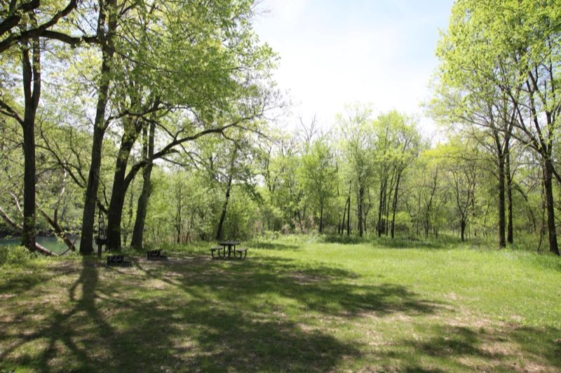
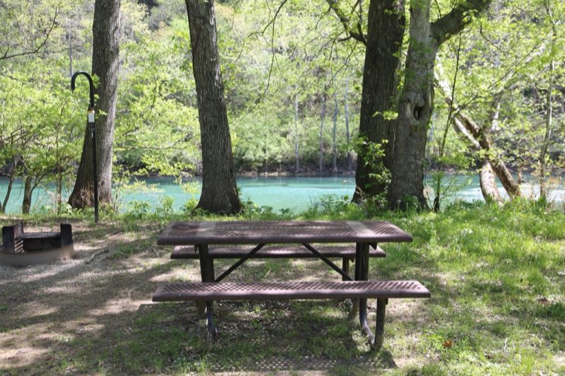
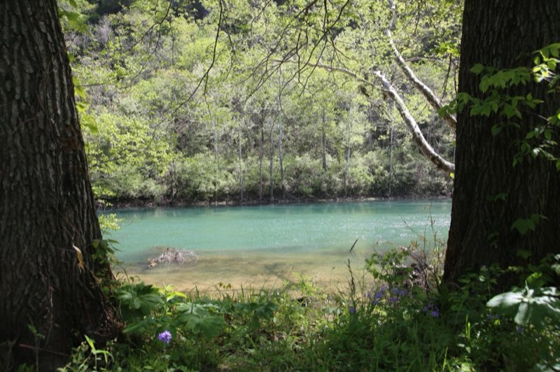
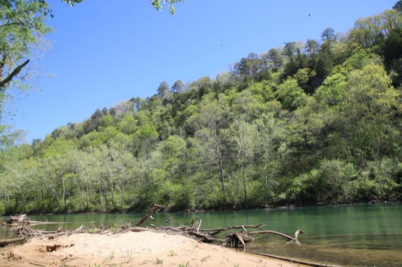
Big Tree is home to 7 campsites: 6 standard and 1 cluster. These sites are all located right along the river, making for a beautiful destination. Throughout the year, campers can enjoy views of the Current River, easy swimming access, and a variety of scenic ecosystems.
- Operator
- National Park
- Camping types
- Tent
- Sites
- 7 campsites
- Fee
- From $10 per night (confirm with the operator)
- Reservations
- Reservable online
- Phone
- 573-323-4236
Amenities
Location
Nearby adventures
Hikes and trailheads
- Refresh at Big Spring
Rejuvenate your mind and spirit at Big Spring while embracing the soothing water sounds. National Park Service
Show on map - Big Spring River's Edge TrailShow on map
- Big Spring Slough TrailShow on map
- Big Spring Branch TrailShow on map
- Big Spring Stone Ridge TrailShow on map
- Ozark Trail
The Ozark Trail is a hiking, backpacking, and, in many places, biking and equestrian trail under construction in the Missouri Ozarks in the United States. Wikipedia
Show on map
Mountain biking
- Ozark Trail - Wappapello Section
A mountain-bike route starting near Ozark Trail - Wappapello Section Southern Terminus Trailhead.
Show on map
Rivers and rafting
- Paddle Jacks Fork RiverShow on map
- Paddle the Upper Current RiverShow on map
Scenic sights
- Richbark CaveShow on map
- Fuse HillShow on map
- Retort HillShow on map
Trail and sight data: National Park Service and OpenStreetMap contributors (ODbL). Text marked Wikipedia is from Wikipedia under CC BY-SA 4.0, lightly shortened.
Reviews
Data sources
Listing details come from the sources above and may be out of date. Confirm fees, dates and closures with the operator before you travel.