Photos: CLM Staff · courtesy of Recreation.gov. Click a photo to enlarge.
Beckler River Campground
Overview
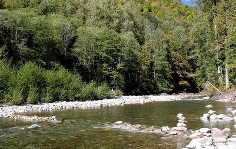
Situated along at the banks of the tranquil Beckler River in Mt. Baker-Snoqualmie National Forest, this campground offers some of the most stunning scenery in the Northern Cascade Range of Washington.
- Operator
- National Forest
- Camping types
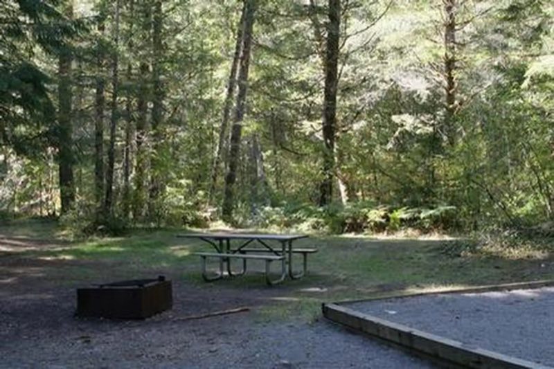
- RV, Tent
- Sites
- 27 campsites
- Reservations
- Reservable online
- Phone
- 360-419-5115
Amenities
Location
Nearby adventures
Hikes and trailheads
- Tonga Ridge Trail
Provides access to: Tonga Ridge Trail 1058 which accesses Alpine Lakes Wilderness. Recreation.gov
Show on map - Miller River Group CampShow on map
- Beckler Peak Trail
A loop trail maintained by Mt. Baker-Snoqualmie National Forest.
Show on map - Iron Goat/Martin Creek Trailhead
Provides access to: Iron Goat Trail 1074 Martin Creek For information about accessible recreation opportunities in Pacific Northwest National Forests, visit… Recreation.gov
Show on map - Eagle Lake Fisherman's Trail
A loop trail.
Show on map - Iron Goat Trail
A trail starting near Iron Goat/Martin Creek Trailhead, maintained by Washington State Department of Transportation.
Show on map
Mountain biking
- CCC Trail
A mountain-bike route starting near Middle Fork Snoqualmie Trailhead.
Show on map
Scenic sights
- Beckler Peak WestShow on map
- Eagle RockShow on map
- Immigration Falls
There are a total of 3 waterfalls on the 2 forks of the Miller River. Wikipedia
Show on map - Alpine FallsShow on map
- Twin Tunnels landmark
A viewpoint along Iron Goat Trail.
Show on map
Climbing and snow sports
- Car Door BoulderShow on map
- 420 ZoneShow on map
- Coexist Boulder
A bouldering area.
Show on map
Trail and sight data: Recreation.gov and OpenStreetMap contributors (ODbL). Text marked Wikipedia is from Wikipedia under CC BY-SA 4.0, lightly shortened.
Reviews
Data sources
Listing details come from the sources above and may be out of date. Confirm fees, dates and closures with the operator before you travel.