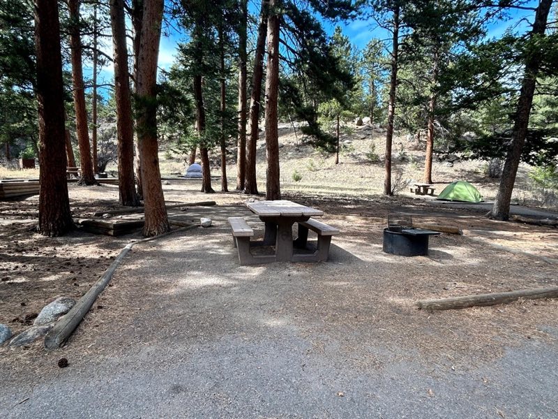
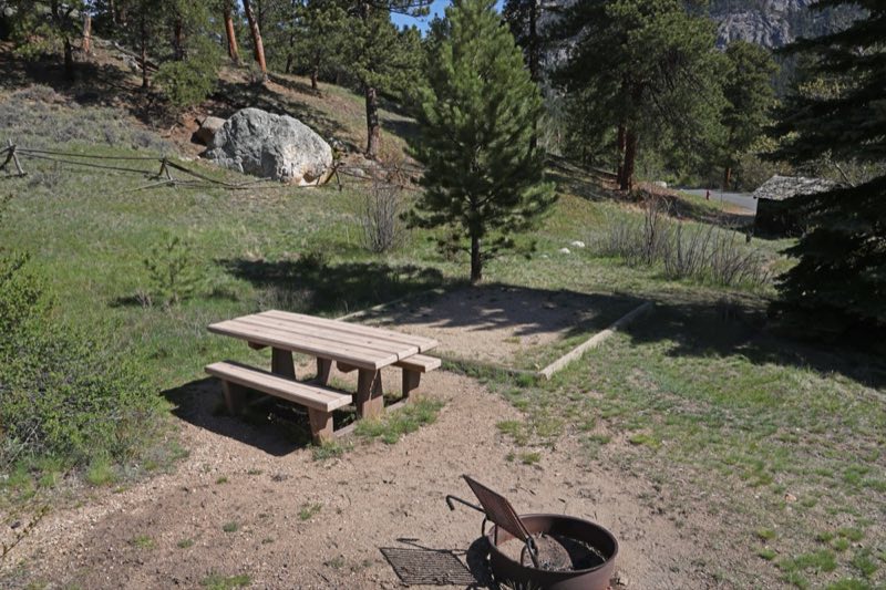
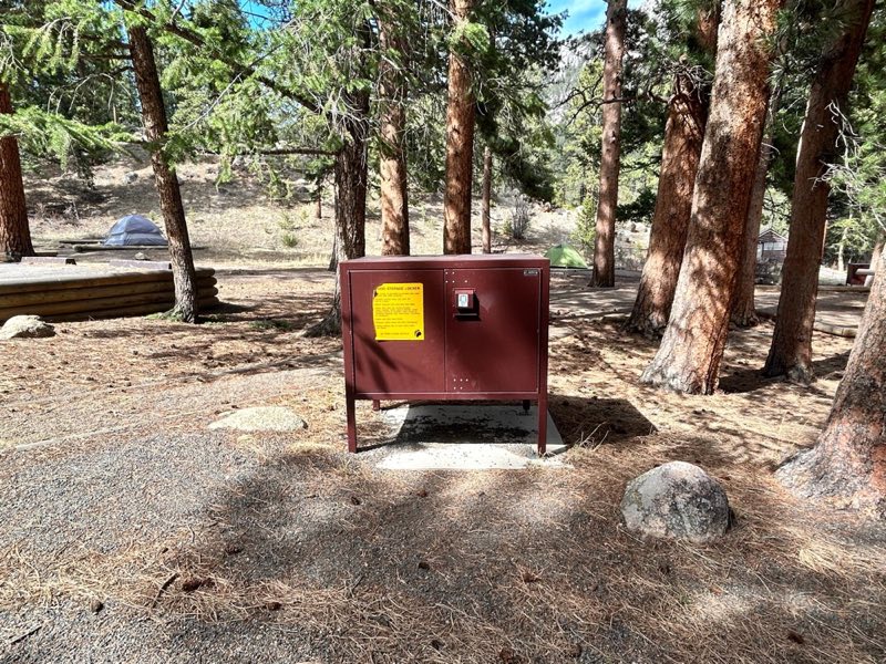
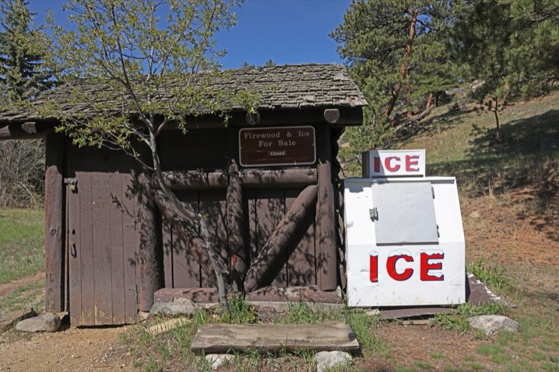
Photos: NPS · courtesy of National Park Service. Click a photo to enlarge.
Aspenglen Campground
Overview
Aspenglen Campground is open for the summer! Campsites are available for tents and RVs. Campsites are available by reservation only. To make a reservation, visit www.recreation.gov online, use the Recreation.gov Mobile App or call 1-877-444-6777 and search for Rocky Mountain National Park - Aspenglen Campground.
- Operator
- National Park
- Camping types
- Tent
- Sites
- 52 campsites
- Fee
- From $35 per night (confirm with the operator)
- Reservations
- Reservable online
- Phone
- 970-586-1206
Amenities
Location
Nearby adventures
Hikes and trailheads
- Deer Mountain TrailheadShow on map
- Lawn Lake TrailheadShow on map
- Beaver Meadows TrailheadShow on map
- Fern Lake Trail
A trail in Rocky Mountain National Park that follows the Big Thompson River past Fern Falls to Fern Lake. AI-written
Show on map - Flat Top Mountain Trail
A trail in Rocky Mountain National Park from the Bear Lake area up to Flattop Mountain. AI-written
Show on map - Bear Lake Trail
A short loop around Bear Lake in Rocky Mountain National Park, the starting point for several other trails. AI-written
Show on map
Mountain biking
- Limber Pine Trail
A loop mountain-bike route.
Show on map - Hall Ranch
Trails at Hall Ranch, a Boulder County Open Space area near Lyons. AI-written
Show on map - Nelson Loop Trail
A loop mountain-bike route.
Show on map - Bitterbrush TrailShow on map
Scenic sights
- Castle MountainShow on map
- MacGregor FallsShow on map
- Oldman Mountain
A small peak on the south side of Estes Park with a trail to its summit. AI-written
Show on map - Many Parks Curve
A curve on Trail Ridge Road in Rocky Mountain National Park with a wide view over several mountain valleys. AI-written
Show on map - Horseshoe Falls
A cascade on Fall River in Horseshoe Park in Rocky Mountain National Park. AI-written
Show on map
Climbing and snow sports
- Sundance West
A climbing area on Lumpy Ridge north of Estes Park. AI-written
Show on map - Sundance Buttress
A climbing area on Lumpy Ridge north of Estes Park. AI-written
Show on map - The Needles
A climbing area on Lumpy Ridge north of Estes Park. AI-written
Show on map
Trail and sight data: OpenStreetMap contributors (ODbL). Text marked AI-written was drafted by an AI model from public data and may contain errors.
Reviews
Data sources
Listing details come from the sources above and may be out of date. Confirm fees, dates and closures with the operator before you travel.