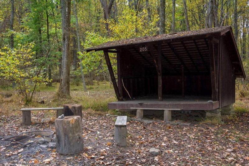
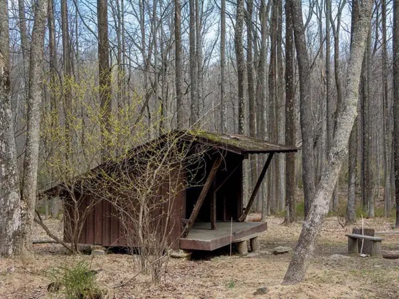
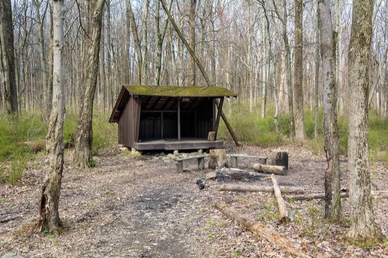
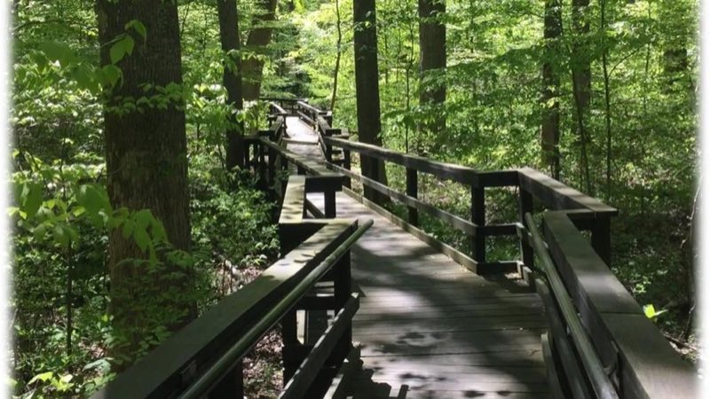
Photos: NPS Photo, NPS Photo - John Zuke · courtesy of National Park Service. Click a photo to enlarge.
Adirondack Shelters
Overview
Reservations Required. No Walk Ins. Available year-round, the Adirondack Shelters located near the northern most point of the park, provide a destination for true nature immersion and an alternative to drive-up camping. There are two shelters that offer the bare minimum with regard to outdoor accommodation.
- Operator
- National Park
- Camping types
- Tent
- Sites
- 2 campsites
- Fee
- From $8 per night (confirm with the operator)
- Reservations
- Reservable online
- Phone
- 877-444-6777
Amenities
Location
Nearby adventures
Hikes and trailheads
- Catoctin National Recreation Trail
This trail traverses Gambrill State Park, the Frederick City Watershed, Cunningham Falls State Park and Catoctin Mountain National Park. OpenStreetMap
Show on map - Brown's Farm Trail
The Brown's Farm Trail is a mostly flat, half-mile loop trail that passes through several different forest ecosystems and the remains of an early 1900s farmstead. National Park Service
Show on map - Spicebush Trail
The Spicebush Trail is a short informative walk with wayside panels describing the ever-changing forests at Catoctin Mountain Park. National Park Service
Show on map - Deerfield Nature Trail Loop
This 1.3 mile loop trail travels along Owens Creek, exploring the historical and ecological importance of the area. National Park Service
Show on map - to Thurmont Vista: The Pink Blazed TrailShow on map
- to Chimney Rock: The Orange Blazed TrailShow on map
Scenic sights
- Quirauk Mountain
Quirauk Mountain is the highest point on South Mountain. Wikipedia
Show on map - Catoctin Mountain
Catoctin Mountain, along with the geologically associated Bull Run Mountains, forms the easternmost mountain ridge of the Blue Ridge Mountains, which are in turn a part of the Appalachian… Wikipedia
Show on map - South Bob's Hill Overlook
View across the valley of Frederick Municipal Forest, and beyond. OpenStreetMap
Show on map - High Rock
A viewpoint near Appalachian Trail.
Show on map - Cunningham Falls
A 78-foot waterfall along Cliff Trail.
Show on map
Climbing and snow sports
- Cross-Country Skiing
Generally, the best skiing is along certain sections of park roads which are closed to vehicular traffic. National Park Service
Show on map - Rock Climbing
Wolf Rock is the only location on site open to technical rock climbing. National Park Service
Show on map
Trail and sight data: OpenStreetMap contributors (ODbL) and National Park Service. Text marked Wikipedia is from Wikipedia under CC BY-SA 4.0, lightly shortened.
Reviews
Data sources
Listing details come from the sources above and may be out of date. Confirm fees, dates and closures with the operator before you travel.