Photos: NPS Photo · courtesy of National Park Service. Click a photo to enlarge.
White River Campground
Overview
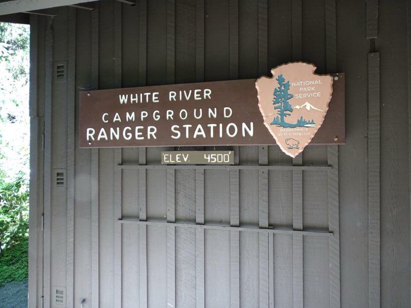
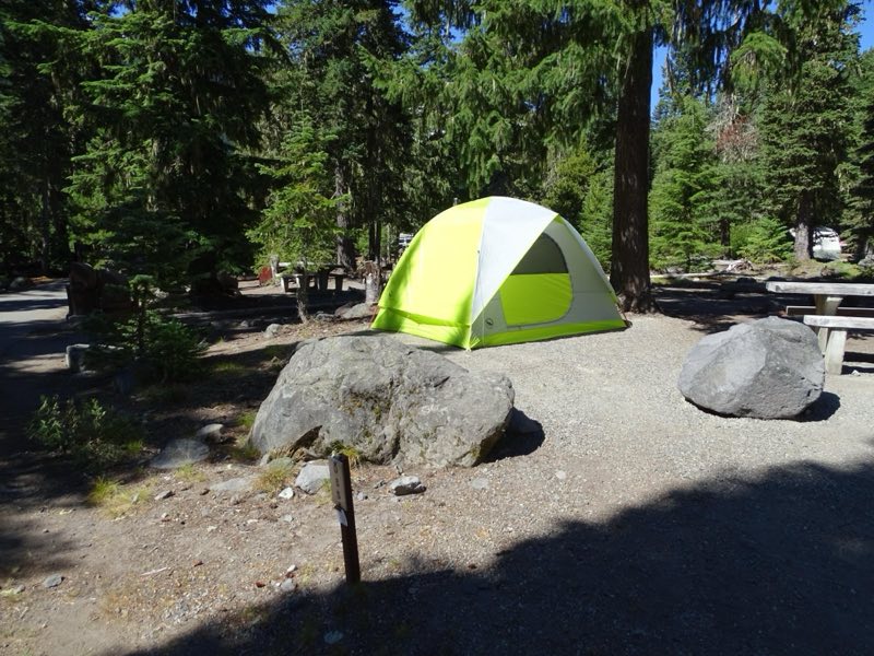
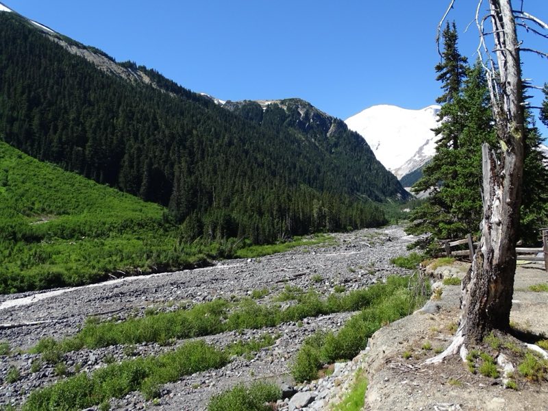
Located on the eastern side of the park below Sunrise, White River campground takes its name from the river flowing beside it. Tucked into a steep canyon, curves can be tight. When open for the summer, it is always first-come, first-serve.
- Operator
- National Park
- Camping types
- Tent, RV
- Sites
- 88 campsites
- Fee
- From $20 per night (confirm with the operator)
- Reservations
- No online reservations listed
- Phone
- 360-569-2211
Amenities
Location
Nearby adventures
Hikes and trailheads
- Emmons Moraine Trail
Enjoy a short hike from the White River Campground through the forest to a view of the Emmons Glacier and a beautiful turquoise lake colored by glacial silt. National Park Service
Show on map - A Day In Sunrise
If you are looking for great views of Mount Rainier, stunning wildflower meadows, interesting history, or a chance to see wildlife, look no further than Sunrise! National Park Service
Show on map - Burroughs Mountain Loop
Hike the Burroughs Mountain Trail for outstanding mountain views and to visit the most accessible tundra in the Cascade Range. National Park Service
Show on map - Wonderland Trail
The Wonderland Trail is an approximately 93-mile hiking trail that circumnavigates Mount Rainier in Mount Rainier National Park, Washington, United States. Wikipedia
Show on map - Glacier Basin Trail
A trail maintained by Mount Rainier National Park.
Show on map - Mount Fremont Lookout Trail
A trail starting near Sourdough Ridge Trailhead, maintained by Mount Rainier National Park.
Show on map
Mountain biking
- Hike and Bike Westside Road in Mount Rainier
Hike or bike Westside Road through a dynamic landscape that is evidence of outburst floods that closed this portion of road to public vehicle traffic. National Park Service
Show on map - Middle Fork Trail
A mountain-bike route from Forest Road 1913 to Forest Road 1902.
Show on map - Legos TrailShow on map
- Pyramid Peak TrailShow on map
Scenic sights
- Goat Island Mountain
Goat Island Mountain is a 7,288-foot ridge-like mountain located in Mount Rainier National Park, in Pierce County of Washington state. Wikipedia
Show on map - Antler Peak
Antler Peak is a 7,017-foot summit located in Mount Rainier National Park in Pierce County of Washington state. Wikipedia
Show on map - Emmons Vista
A viewpoint near Burroughs Mountain Loop.
Show on map - Glacier Overlook
A viewpoint along Burroughs Mountain Loop.
Show on map - Affi Falls
A waterfall near Northern Loop Trail.
Show on map
Climbing and snow sports
- Beginner's Guide to Snowshoeing
Mount Rainier National Park is a great place for beginner and experienced snowshoers to explore the winter landscape. National Park Service
Show on map - Mount RainierShow on map
- Lava PointShow on map
Trail and sight data: National Park Service and OpenStreetMap contributors (ODbL). Text marked Wikipedia is from Wikipedia under CC BY-SA 4.0, lightly shortened.
Reviews
Data sources
Listing details come from the sources above and may be out of date. Confirm fees, dates and closures with the operator before you travel.