
Photos: Uxbridge Senior Center · courtesy of Recreation.gov. Click a photo to enlarge.
West Hill Park
Overview
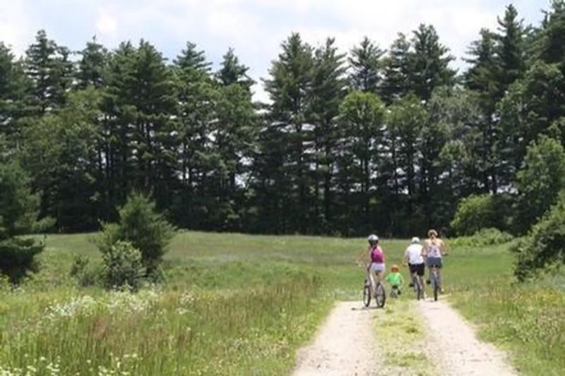
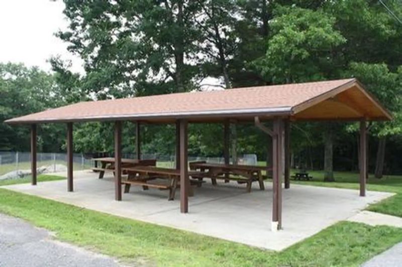
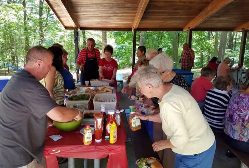
On a quiet back road and across an old fieldstone bridge lies West Hill Park, where the West River widens to form a large, natural pool. The park and its many services and activities, including a swimming beach, accessible playground, nature trails and calm, clean water, attract visitors of all ages.
- Operator
- Army Corps of Engineers
- Camping types
- Tent
- Fee
- From $20 per night (confirm with the operator)
- Reservations
- Reservable online
- Phone
- (978) 318-8419 OR (508) 278-2511
Amenities
Location
Nearby adventures
Hikes and trailheads
- North South Trail
A 77-mile (124 km) hiking trail that runs the length of Rhode Island from the Atlantic Ocean in Charlestown to the Massachusetts border in Burrillville, Rhode Island. OpenStreetMap
Show on map - North South Trail
A 77-mile (124 km) hiking trail that runs the length of Rhode Island from the Atlantic Ocean in Charlestown to the Massachusetts border in Burrillville, Rhode Island. OpenStreetMap
Show on map - North South Trail
A 77-mile (124 km) hiking trail that runs the length of Rhode Island from the Atlantic Ocean in Charlestown to the Massachusetts border in Burrillville, Rhode Island. OpenStreetMap
Show on map - Orange Trail - College Rock ParkShow on map
- Midstate Trail
The Midstate Trail is a scenic footpath which runs 92 miles through Worcester County, Massachusetts, from the Rhode Island border to the New Hampshire border, approximately 45 miles west of… Wikipedia
Show on map - South Trail West TrailheadShow on map
Mountain biking
- White Trail
A loop mountain-bike route.
Show on map - Bike the Blackstone
Join a Park Ranger for a guided bike ride. National Park Service
Show on map - Bike the Blackstone
Join a Park Ranger for a guided bike ride. National Park Service
Show on map - Blackstone River Greenway and Bikeway
The Blackstone River Bikeway is a beautiful way to explore the Blackstone Valley, whether by bike or on foot and offers something for everyone to enjoy. National Park Service
Show on map
Rivers and rafting
- Paddling the Blackstone
Whether kayaking, canoeing, or paddle boarding, the Blackstone River and the remaining parts of the Blackstone Canal offer great places to get out on the water. National Park Service
Show on map - Paddling the Blackstone
Whether kayaking, canoeing, or paddle boarding, the Blackstone River and the remaining parts of the Blackstone Canal offer great places to get out on the water. National Park Service
Show on map - Swim in Boston Harbor
Cool off by taking a dip in Boston Harbor! National Park Service
Show on map
Scenic sights
- Bear HillShow on map
- Scott HillShow on map
- Whale RockShow on map
- TreehouseShow on map
- Cascade Brook FallsShow on map
Climbing and snow sports
- Pond Cave
A bouldering area.
Show on map - Druid StonesShow on map
- Sit Down BouldersShow on map
Trail and sight data: OpenStreetMap contributors (ODbL) and National Park Service. Text marked Wikipedia is from Wikipedia under CC BY-SA 4.0, lightly shortened.
Reviews
Data sources
Listing details come from the sources above and may be out of date. Confirm fees, dates and closures with the operator before you travel.