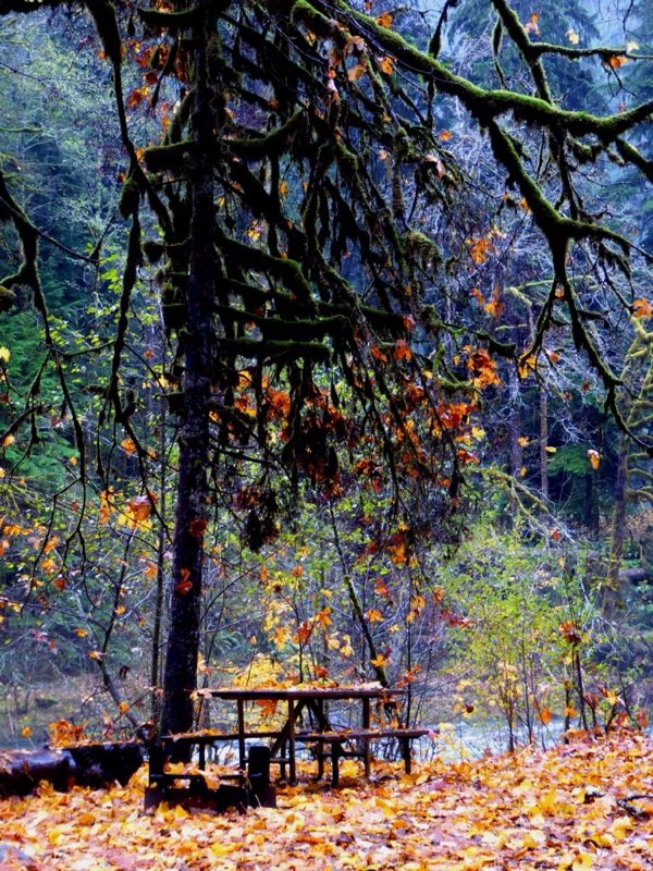
Photos: NPS Photo/C. Bubar · courtesy of National Park Service. Click a photo to enlarge.
Staircase Campground
Overview
Camp near the Skokomish River and enjoy old-growth forest at Staircase. Summer ranger programs and riverside campsites available.
- Operator
- National Park
- Camping types
- Tent, RV
- Sites
- 49 campsites
- Fee
- From $20 per night (confirm with the operator)
- Reservations
- Reservable online
Amenities
Location
Nearby adventures
Hikes and trailheads
- Staircase Rapids Loop Trail
2 miles with a bridge over the Skokomish River, and nice forest and river views. OpenStreetMap
Show on map - North Fork Skokomish River Trail
The ttail follows the North Fork Skokomish River from Staircase to First Divide where it connects to the Home Sweet Home Trail. OpenStreetMap
Show on map - Copper Creek Trail #876
This is a steep 2.1 mile trail that forms a short loop at the ridge top. OpenStreetMap
Show on map - Dry Creek Trail #872
The trail follows the shoreline of Lake Cushman before climbing over Dry Creek Pass and descending to Forest Road 2353-200. OpenStreetMap
Show on map - Mount Rose Trail #814
A steep trail to a rocky perch with views of Lake Cushman and the southeastern corner of the Olympic Mountains. OpenStreetMap
Show on map - Flapjack Lakes Trail
Moderate climb through the forest to a pair of apline lakes with the rugged Sawtooth Range looming above. OpenStreetMap
Show on map
Scenic sights
- Copper Mountain
Copper Mountain is a 5,425-foot mountain summit located in the southeast portion of the Olympic Mountains, in Mason County of Washington state. Wikipedia
Show on map - Lightning PeakShow on map
- Ross Falls
A waterfall along Flapjack Lakes Trail.
Show on map - Hamma Hamma Falls
A waterfall along Mildred Lakes Trail #822.
Show on map
Climbing and snow sports
- Olympic National Park
Parent area for climbing crags/peaks in Olympic National Park. OpenStreetMap
Show on map - Hurricane Ridge Ski AreaShow on map
Trail and sight data: OpenStreetMap contributors (ODbL) and Recreation.gov. Text marked Wikipedia is from Wikipedia under CC BY-SA 4.0, lightly shortened.
Reviews
Data sources
Listing details come from the sources above and may be out of date. Confirm fees, dates and closures with the operator before you travel.