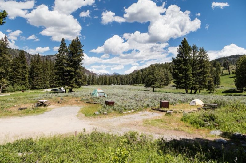
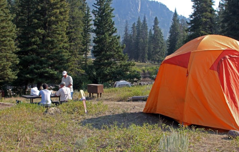
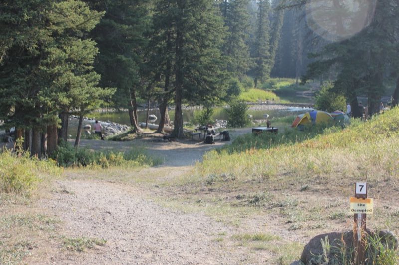
Photos: NPS / Jacob W. Frank, NPS · courtesy of National Park Service. Click a photo to enlarge.
Slough Creek Campground
Overview
Near some of the best wildlife watching opportunities in the park. Located at the end of a two-mile dirt road, this campground is best suited for tents and small RVs. There are plenty of hiking and fishing opportunities in the area, including the Slough Creek Trail which begins nearby.
- Operator
- National Park
- Camping types
- Tent, RV
- Sites
- 16 campsites
- Fee
- From $20 per night (confirm with the operator)
- Reservations
- Reservable online
- Phone
- 307-344-7381
Amenities
Location
Nearby adventures
Hikes and trailheads
- Slough Creek TrailheadShow on map
- Fossil Forest TrailheadShow on map
- Lost Lake
A trail maintained by NPS.
Show on map - Chittenden Road - Mount Washburn Trail
Head up the shortest route to the top of Mount Washburn where you can enjoy panoramic views and interpretive exhibits. National Park Service
Show on map - Tower Creek TrailheadShow on map
- Chittenden Road - Mount Washburn Trail
Starting at the Chittenden Road Trailhead this route provides the shortest route up to Mount Washburn. OpenStreetMap
Show on map
Scenic sights
- Bison PeakShow on map
- Junction ButteShow on map
- Tower Fall
Tower Fall is a waterfall on Tower Creek in the northeastern region of Yellowstone National Park, in the U.S. state of Wyoming. Wikipedia
Show on map - Calcite SpringsShow on map
- Tower Fall OverlookShow on map
Climbing and snow sports
- Sleeping Giant Winter Sports AreaShow on map
Trail and sight data: OpenStreetMap contributors (ODbL) and National Park Service. Text marked Wikipedia is from Wikipedia under CC BY-SA 4.0, lightly shortened.
Reviews
Data sources
Listing details come from the sources above and may be out of date. Confirm fees, dates and closures with the operator before you travel.