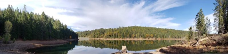
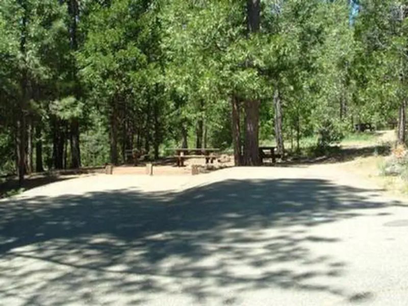
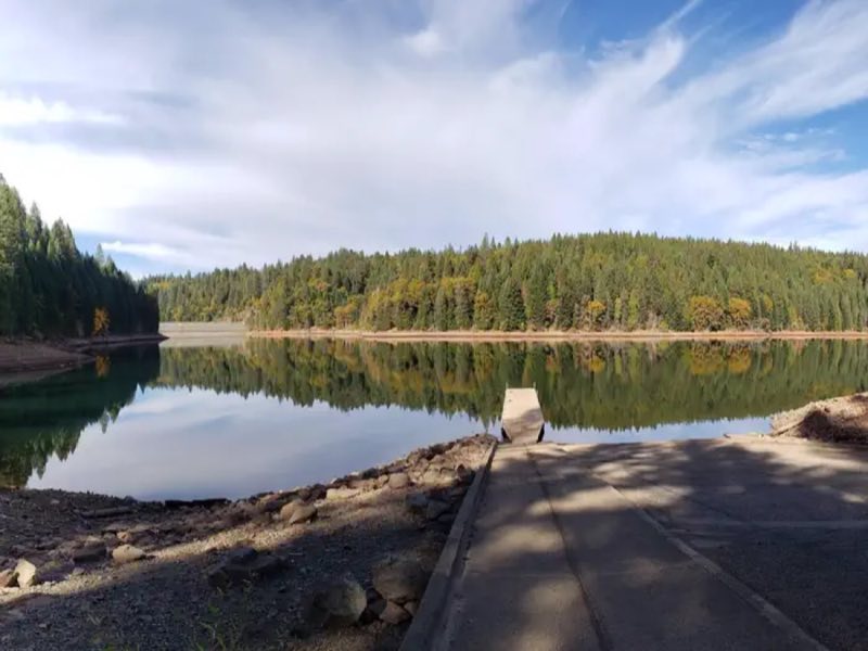
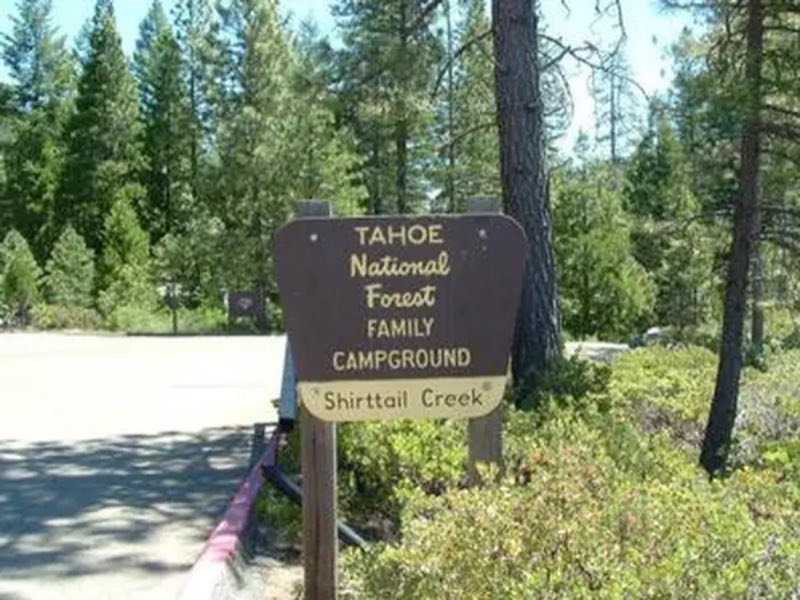
Photos: Joel Miller USFS November 2018. · courtesy of Recreation.gov. Click a photo to enlarge.
Shirttail Creek
Overview
Shirttail Campground is located on the north shore of Sugar Pine Reservoir, in the Tahoe National Forest, 15 miles from Foresthill. Visitors enjoy the area for its fishing, boating, OHV, and hiking opportunities. This facility is operated and maintained by the Tahoe National Forest.
- Operator
- National Forest
- Camping types
- Tent
- Fee
- From $24 per night (confirm with the operator)
- Reservations
- Reservable online
- Phone
- 530-367-2224
Amenities
Location
Nearby adventures
Hikes and trailheads
- Euchre Bar Trailhead
Euchre Bar is a trailhead and kayak, canoe, and raft put-in with access to the North Fork American River. Recreation.gov
Show on map - Green Valley TrailheadShow on map
- ADT - California - T - Seg 3
California Seg 3: French Meadows Reservoir to Foresthill. OpenStreetMap
Show on map - Forks HouseShow on map
- ADT - California - T - Seg 4
A trail maintained by American Discovery Trail Society.
Show on map - Pioneer TrailShow on map
Mountain biking
- Lower Lola Montez Trail
A mountain-bike route maintained by USFS Tahoe National Forest.
Show on map - Hole in the Ground
A loop mountain-bike route maintained by USFS Tahoe National Forest.
Show on map
Scenic sights
- Pennsylvania PointShow on map
- Tanners PointShow on map
- Codfish FallsShow on map
- East Snow Mountain Falls
East Snow Mountain Falls is a seasonal waterfall in the Sierra Nevada in Placer County, California. Wikipedia
Show on map - Hawver Cave Gate AShow on map
Climbing and snow sports
- The Dollar StoreShow on map
- ChalkporiumShow on map
- Negativity SlabsShow on map
Trail and sight data: Recreation.gov and OpenStreetMap contributors (ODbL). Text marked Wikipedia is from Wikipedia under CC BY-SA 4.0, lightly shortened.
Reviews
Data sources
Listing details come from the sources above and may be out of date. Confirm fees, dates and closures with the operator before you travel.