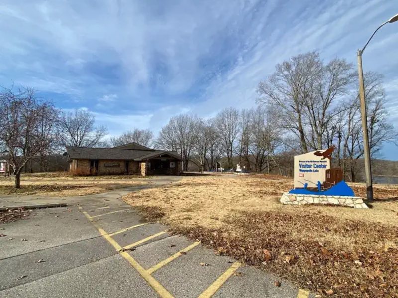
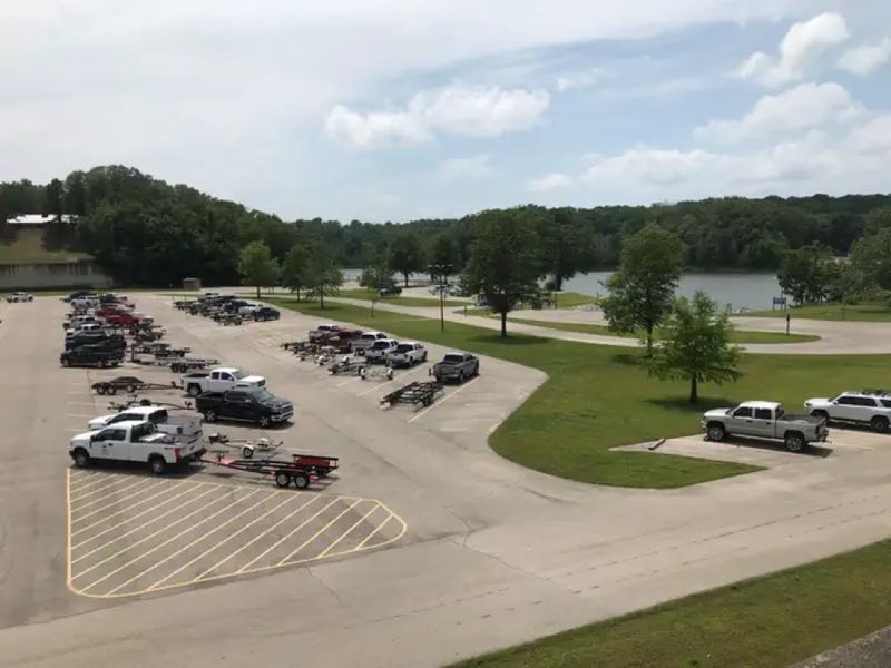
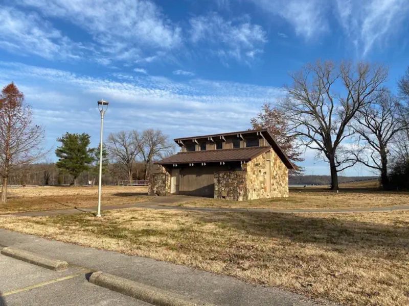
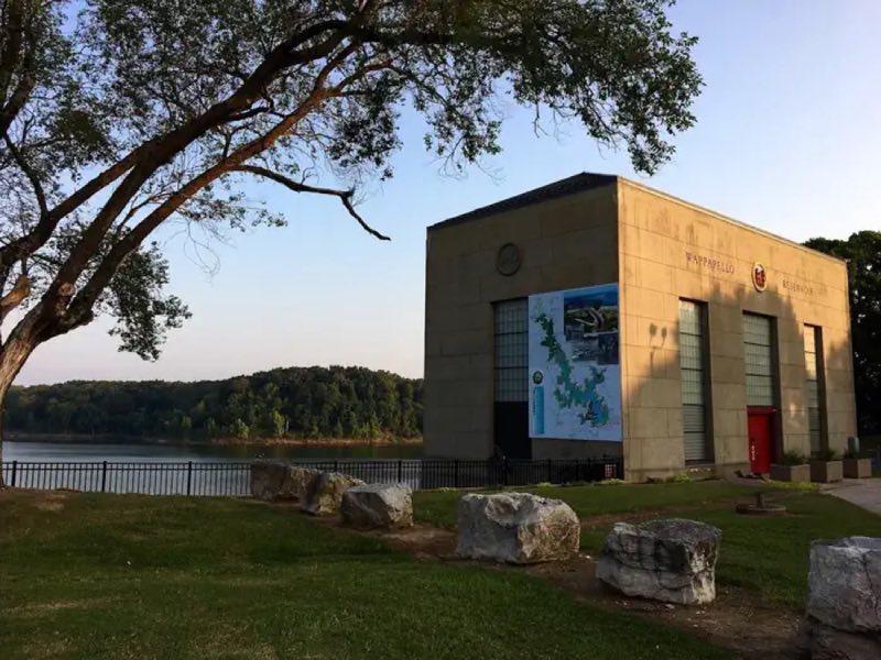
Photos: USACE · courtesy of Recreation.gov. Click a photo to enlarge.
Redman Creek Recreation Area
Overview
Redman Creek offers a variety of recreational opportunities for every visitor! This large park is an ideal place for just a day visit or an extended stay. Redman Creek Campground features 109 full service campsites in the Redman East and West Campground. Each campground loop has a playground and shower house.
- Operator
- Army Corps of Engineers
- Camping types
- RV
- Fee
- From $28 per night (confirm with the operator)
- Reservations
- Reservable online
- Phone
- 573-222-8233
Amenities
Location
Nearby adventures
Hikes and trailheads
- Lake Wappapello Trail
A loop trail starting near Asher Creek Trail, maintained by Missouri State Parks.
Show on map - Allison Cemetery TrailShow on map
- Lake View TrailShow on map
- Asher Creek Trail
Access point for Lake Wappapello Trail.
Show on map - Ozark Trail - Wappapello Section
A trail starting near Ozark Trail - Wappapello Section Southern Terminus Trailhead.
Show on map - Markham SpringsShow on map
Mountain biking
- Peoples Creek
People's Creek Recreation Area, located in the southeastern Ozark foothills of Missouri, is a great launchpad for boating, fishing, swimming, hiking or simply exploring the Wappapello Lake… Recreation.gov
Show on map - Lake Wappapello Trail
A loop mountain-bike route starting near Asher Creek Trail.
Show on map - Ozark Trail - Wappapello Section
A mountain-bike route starting near Ozark Trail - Wappapello Section Southern Terminus Trailhead.
Show on map
Scenic sights
- Monolopy Overlook PlatformShow on map
- Lookout/Ob DeckShow on map
- Lone HillShow on map
- Kelly HillShow on map
Trail and sight data: OpenStreetMap contributors (ODbL) and Recreation.gov.
Reviews
Data sources
Listing details come from the sources above and may be out of date. Confirm fees, dates and closures with the operator before you travel.