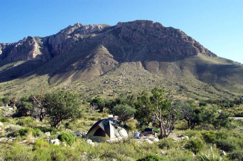
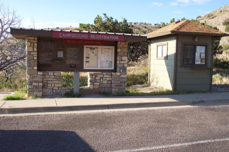
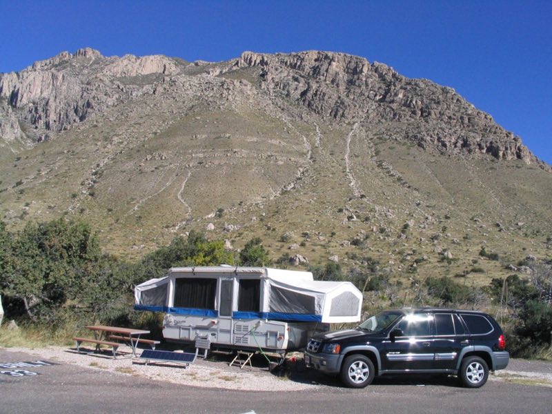
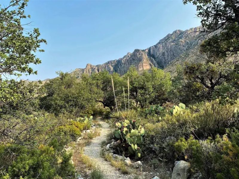
Photos: NPS Photo, NPS Photo/Karen Poteet · courtesy of National Park Service. Click a photo to enlarge.
Pine Springs Campground
Overview
The Pine Springs Campground has 20 tent and 13 RV sites available. All campsites are reservable through recreation.gov. Individual campsite cost is $20 per night, per site. There are 2 group sites for groups of 10-20 people. Campground amenities include drinking water and toilets (NO hookups, dump stations or showers).
- Operator
- National Park
- Camping types
- Tent, RV
- Sites
- 35 campsites
- Fee
- From $20 per night (confirm with the operator)
- Reservations
- Reservable online
- Phone
- 915-828-3251
Amenities
Location
Nearby adventures
Hikes and trailheads
- Devil's Hall
The strenuous route to Devil's Hall departs from the Pine Springs Trailhead and is 4.2 miles round-trip. National Park Service
Show on map - Campground Connector Trail
This short trail connects the visitor center to the campground and the trailhead area at Pine Springs. National Park Service
Show on map - Can I Take My Dog?
Opportunities for pets are limited. National Park Service
Show on map - Pinery Trail
The Pinery Trail offers visitors an opportunity to take a quick walk on a paved trail. National Park Service
Show on map - Hunter Peak
The hike to Hunter Peak is a challenging day hike done as a loop up the Bear Canyon Trail and down the Tejas Trail that provides solitude, stunning views, and opportunities for side trails… National Park Service
Show on map - Manzanita Spring
The Manzanita Spring Trail is a 0.5 mile (0.8 km) out and back trail that begins adjacent the Frijole Ranch. National Park Service
Show on map
Scenic sights
- Guadalupe Peak
Guadalupe Peak, also known as Signal Peak, is the highest natural point in Texas, with an elevation of 8,751 feet above sea level. Wikipedia
Show on map - El Capitan
El Capitan is a peak in Culberson County, Texas, located within Guadalupe Mountains National Park. Wikipedia
Show on map - Salt Basin OverlookShow on map
- The GrottoShow on map
Trail and sight data: National Park Service and OpenStreetMap contributors (ODbL). Text marked Wikipedia is from Wikipedia under CC BY-SA 4.0, lightly shortened.
Reviews
Data sources
Listing details come from the sources above and may be out of date. Confirm fees, dates and closures with the operator before you travel.