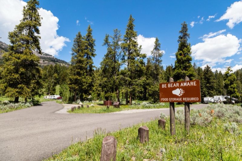
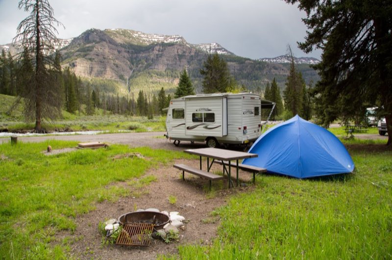
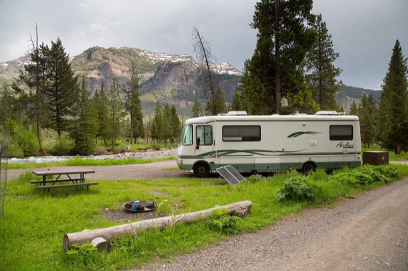
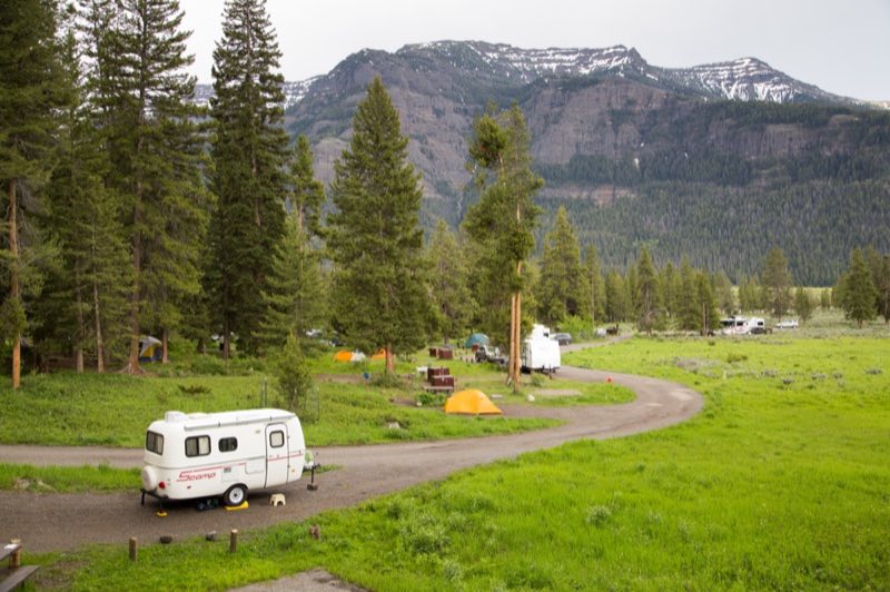
Photos: NPS/ Jacob W. Frank, NPS / Neal Herbert · courtesy of National Park Service. Click a photo to enlarge.
Pebble Creek Campground
Overview
Pebble Creek Campground was significantly impacted by the 2022 floods and will remain CLOSED until further notice for flood recovery work.
- Operator
- National Park
- Camping types
- Tent
- Sites
- 27 campsites
- Fee
- From $20 per night (confirm with the operator)
- Reservations
- Reservable online
- Phone
- 307-344-7381
Amenities
Location
Nearby adventures
Hikes and trailheads
- Pebble Creek TrailheadShow on map
- Trout Lake TrailheadShow on map
- Lamar River Valley TrailheadShow on map
- Chittenden Road - Mount Washburn Trail
Head up the shortest route to the top of Mount Washburn where you can enjoy panoramic views and interpretive exhibits. National Park Service
Show on map - Chittenden Road - Mount Washburn Trail
Starting at the Chittenden Road Trailhead this route provides the shortest route up to Mount Washburn. OpenStreetMap
Show on map - Lost Lake
A trail maintained by NPS.
Show on map
Scenic sights
- Mount Hornaday
The peak was named in 1938 for naturalist William Temple Hornaday, a former director of the New York Zoological Gardens who championed the cause of saving the American Bison from extinction. Wikipedia
Show on map - The ThundererShow on map
- Tower Fall
Tower Fall is a waterfall on Tower Creek in the northeastern region of Yellowstone National Park, in the U.S. state of Wyoming. Wikipedia
Show on map - Lost Creek Falls
A waterfall near Lost Lake.
Show on map - Grizzly FumaroleShow on map
Climbing and snow sports
- Sleeping Giant Winter Sports AreaShow on map
Trail and sight data: OpenStreetMap contributors (ODbL) and National Park Service. Text marked Wikipedia is from Wikipedia under CC BY-SA 4.0, lightly shortened.
Reviews
Data sources
Listing details come from the sources above and may be out of date. Confirm fees, dates and closures with the operator before you travel.