Photos: G. Jones / BLM, G.Jones / BLM · courtesy of Recreation.gov. Click a photo to enlarge.
Ophir Creek Campground
Overview
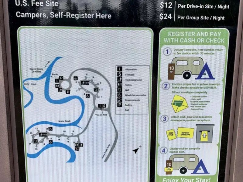
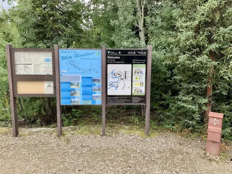
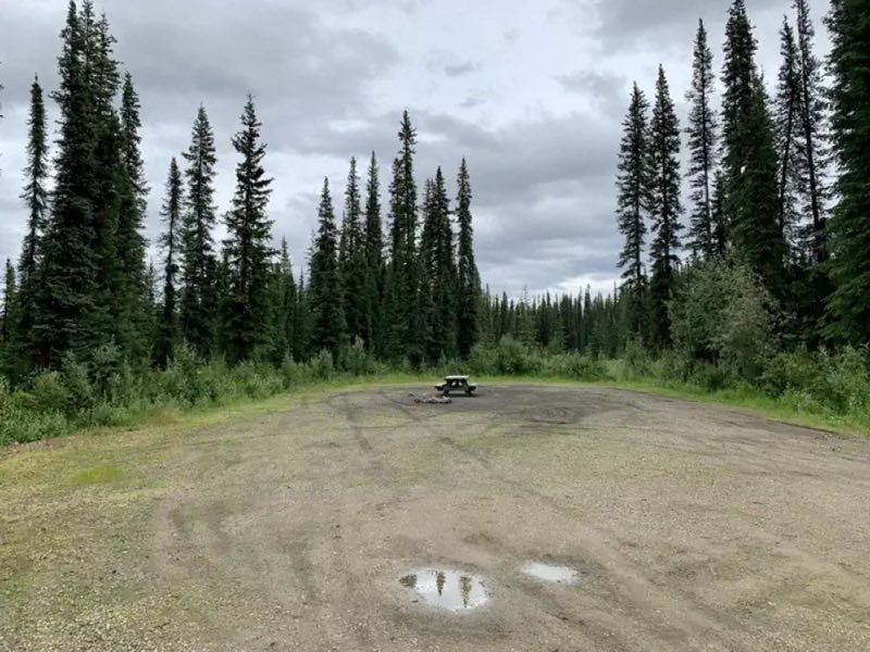
The Ophir Creek Campground is one of two campgrounds located at either end of the Nome Creek Valley, on the southern edge of the White Mountains National Recreation Area. Nestled in tall white spruce trees on the bank of Nome Creek, the campground includes 20 campsites, including one group site.
- Operator
- BLM
- Camping types
- RV, Tent
- Sites
- 20 campsites
- Fee
- From $12 per night (confirm with the operator)
- Reservations
- Reservable online
- Phone
- 907-474-2200
Amenities
Location
Nearby adventures
Hikes and trailheads
- Bear Creek Trail
The Bear Creek Trail is primarily a winter trail and not recommended for summer use. Recreation.gov
Show on map - Table Top Mountain Loop Trail
Easily one of the most scenic drives in the Interior, the trip out to Nome Creek Valley and the Table Top Mountain Trail from Fairbanks winds deep into the center of White Mountains… Recreation.gov
Show on map - Quartz Creek Trail
Off Highway Vehicle Trail/multi-use trail. Recreation.gov
Show on map - Trail Creek TrailShow on map
Scenic sights
- U.S. Creek OverlookShow on map
- Mount Prindle
Mount Prindle is a granitic mountain in the Yukon–Tanana uplands, and is located approximately 45 miles north-northeast of Fairbanks, Alaska. Wikipedia
Show on map
Climbing and snow sports
- Birch Hill Recreation Area
A Nordic (cross-country) ski area.
Show on map
Trail and sight data: Recreation.gov and OpenStreetMap contributors (ODbL). Text marked Wikipedia is from Wikipedia under CC BY-SA 4.0, lightly shortened.
Reviews
Data sources
Listing details come from the sources above and may be out of date. Confirm fees, dates and closures with the operator before you travel.