Photos: NPS Photo · courtesy of National Park Service. Click a photo to enlarge.
Ohanapecosh Campground
Overview
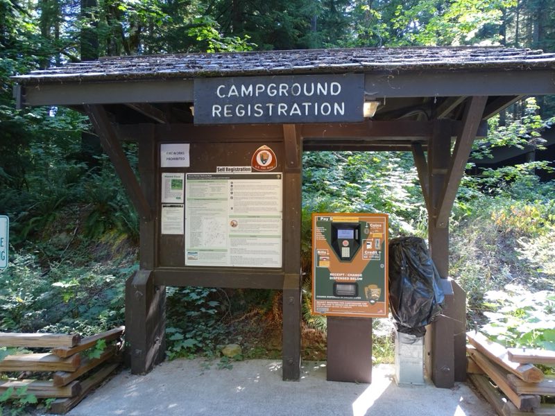
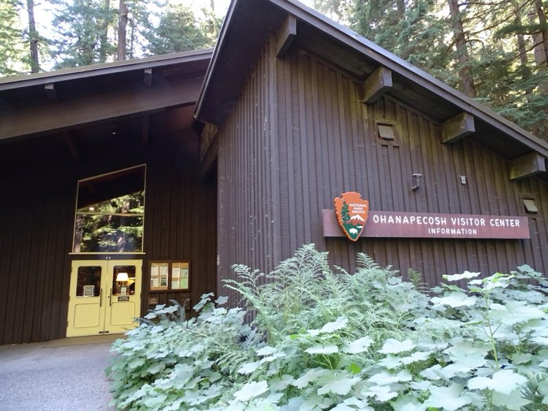
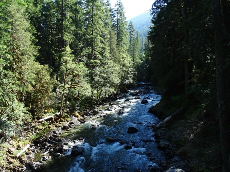
NOTE: The Ohanapecosh Campground will be CLOSED for the summer of 2026 as part of the Ohanapecosh Campground rehabilitation project. Ohanapecosh Campground is tucked in the forest along the banks of the Ohanapecosh River at an elevation of 1,914 feet.
- Operator
- National Park
- Camping types
- Tent, RV
- Sites
- 179 campsites
- Fee
- From $20 per night (confirm with the operator)
- Reservations
- Reservable online
- Phone
- 360-569-2211
Amenities
Location
Nearby adventures
Hikes and trailheads
- Ohanapecosh Area Activities
Enjoy all that the Ohanapecosh area has to offer with these four activities. National Park Service
Show on map - Silver Falls Loop
Enjoy a moderate, family-friendly loop hike through the forest to a beautiful waterfall along the Ohanapecosh River. National Park Service
Show on map - to Shriner Peak Fire Lookout
Embark on a strenuous hike up to a historic fire lookout with adjacent backcountry camping sites and enjoy views of Mount Rainier and the surrounding valley. National Park Service
Show on map - Hot Springs Nature Trailhead
Access point for Silver Falls Loop.
Show on map - Three Lakes Trail
A trail starting near Laughingwater Creek Trailhead, maintained by Mount Rainier National Park.
Show on map - Laughingwater Creek Trailhead
Access point for Three Lakes Trail.
Show on map
Mountain biking
- Hike and Bike Westside Road in Mount Rainier
Hike or bike Westside Road through a dynamic landscape that is evidence of outburst floods that closed this portion of road to public vehicle traffic. National Park Service
Show on map - Middle Fork Trail
A mountain-bike route from Forest Road 1913 to Forest Road 1902.
Show on map
Scenic sights
- Silver Falls
Silver Falls is a waterfall on the Ohanapecosh River located within Mount Rainier National Park in Washington. Wikipedia
Show on map - Ohanapecosh Hot SpringsShow on map
- Silver Falls Overlook
A viewpoint along Silver Falls Loop.
Show on map - Fish Ladder FallsShow on map
- Palisades ViewpointShow on map
Climbing and snow sports
- Beginner's Guide to Snowshoeing
Mount Rainier National Park is a great place for beginner and experienced snowshoers to explore the winter landscape. National Park Service
Show on map - Mount RainierShow on map
- Lava PointShow on map
Trail and sight data: National Park Service and OpenStreetMap contributors (ODbL). Text marked Wikipedia is from Wikipedia under CC BY-SA 4.0, lightly shortened.
Reviews
Data sources
Listing details come from the sources above and may be out of date. Confirm fees, dates and closures with the operator before you travel.