Photos: NPS Photo · courtesy of National Park Service. Click a photo to enlarge.
North Gorge Campground
Overview
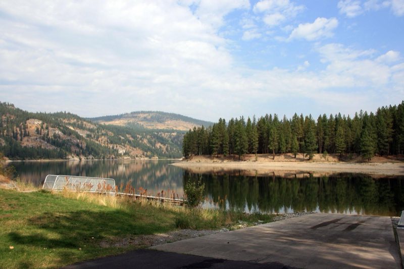
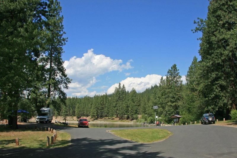
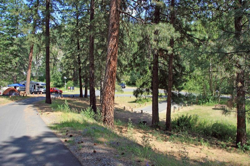
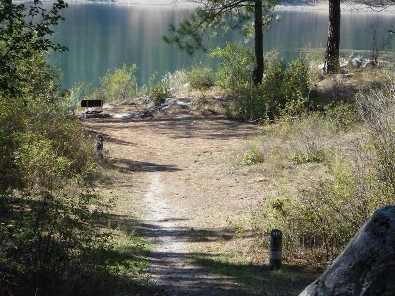
North Gorge is a small, but popular, campground at the northeast edge of the park. A few sites are large enough for an RV, but most are built for tent camping. The campground is set in a grove of pines on the edge of the lake. A boat launch and dock are on the north or right side of the main loop.
- Operator
- National Park
- Camping types
- Tent, RV
- Sites
- 12 campsites
- Fee
- From $23 per night (confirm with the operator)
- Reservations
- Reservable online
- Phone
- 509-754-7800
Amenities
Location
Nearby adventures
Hikes and trailheads
- Mission Point Trail
A half-mile loop trail along a relatively flat bluff takes you through standing pine forests to the edge of Lake Roosevelt. National Park Service
Show on map - Pacific Northwest Trail 03 Washington
The Pacific Northwest Trail is a 1,200-mile hiking trail running from the Continental Divide in Montana to the Pacific Ocean on Washington's Olympic Coast. Wikipedia
Show on map - Thompson RidgeShow on map
- Hike the Sherman Creek Wildlife Area
The Sherman Creek Wildlife Area is a cooperative trail system between the Washington Department of Fish and Wildlife and the National Park Service. National Park Service
Show on map - Trout Lake Trail #17
A trail starting near Hoodoo Canyon.
Show on map - Taylor Ridge Trail
A trail maintained by NFS.
Show on map
Mountain biking
- Thompson RidgeShow on map
- Little Pend Oreille TrailShow on map
- Thomas Mountain TrailShow on map
- Radar Dome TrailShow on map
Scenic sights
- Douglas FallsShow on map
- Marble Creek FallsShow on map
Climbing and snow sports
- 49 North Nordic Center
A Nordic (cross-country) ski area.
Show on map
Trail and sight data: National Park Service and OpenStreetMap contributors (ODbL). Text marked Wikipedia is from Wikipedia under CC BY-SA 4.0, lightly shortened.
Reviews
Data sources
Listing details come from the sources above and may be out of date. Confirm fees, dates and closures with the operator before you travel.