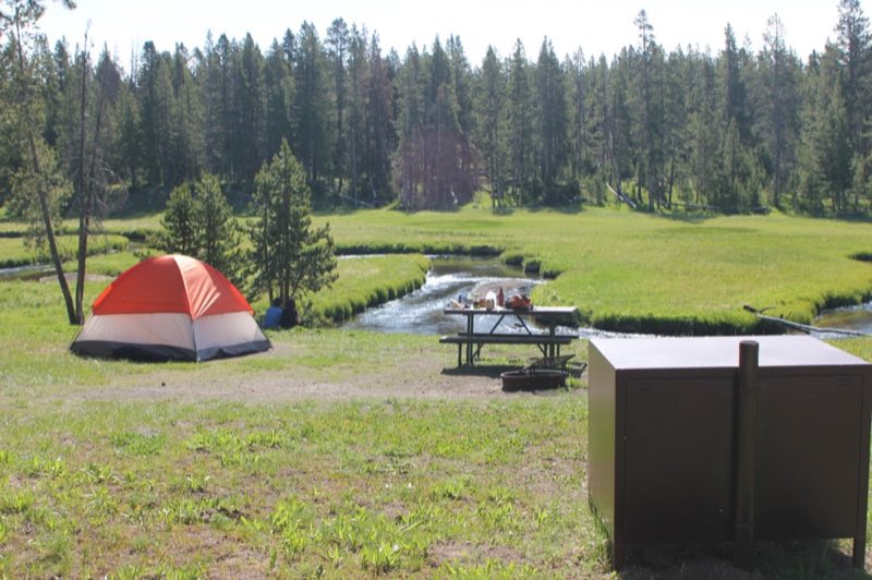
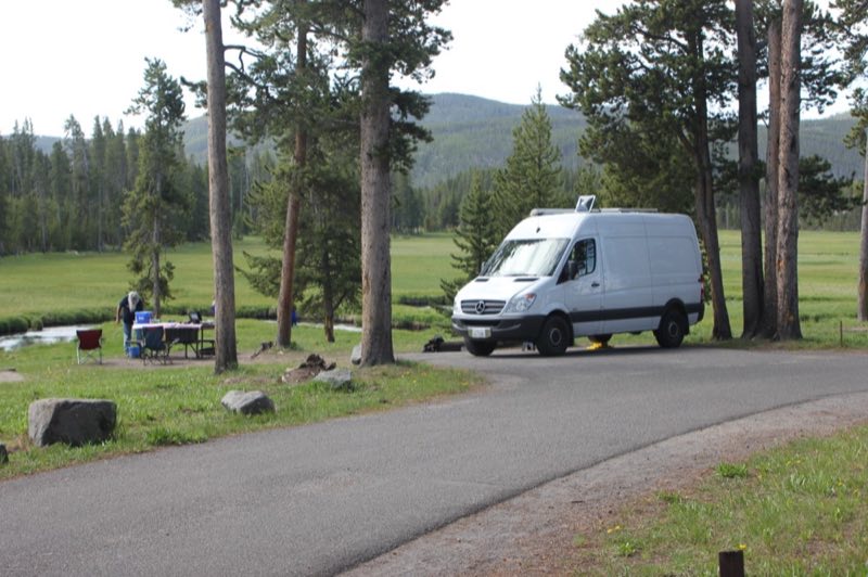
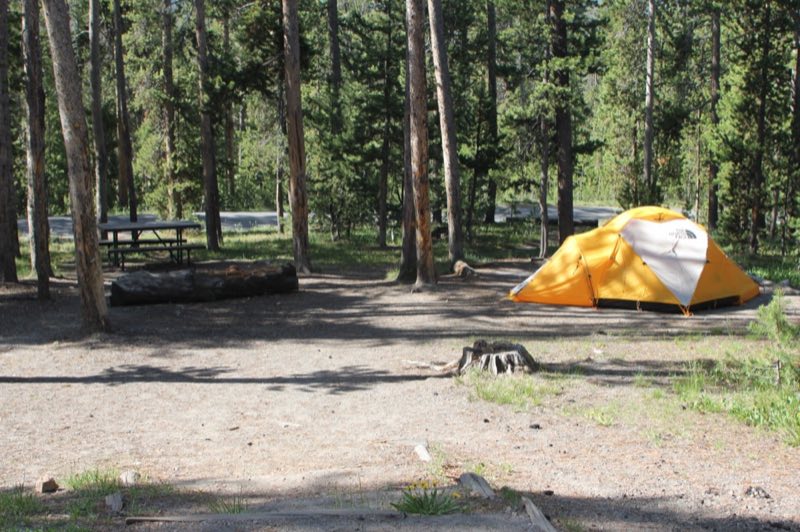
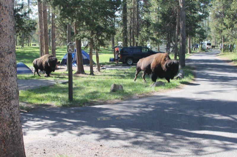
Photos: NPS/Renkin · courtesy of National Park Service. Click a photo to enlarge.
Norris Campground
Overview
Norris has been closed to the public for five years and will remain closed for the foreseeable future. Due to Norris’ remote location, the park does not have the staffing required to effectively respond to emergency incidents (law enforcement, emergency medical services etc.) and facility maintenance and repairs.
- Operator
- National Park
- Camping types
- Tent, RV
- Sites
- 112 campsites
- Fee
- From $25 per night (confirm with the operator)
- Reservations
- No online reservations listed
- Phone
- 307-344-7381
Amenities
Location
Nearby adventures
Hikes and trailheads
- Howard Eaton Trail
Choose your destination on this trail that passes by four lakes, forest, meadow, and marsh: Cascade Lake (2.6 mi / 4.2 km), Grebe Lake (4.5 mi / 7.3 km), Wolf Lake (6.3 mi / 10.1 km), or… OpenStreetMap
Show on map - Solfatara Creek TrailheadShow on map
- Observation Peak Trail
Hike to a high mountain peak for an outstanding view of the Yellowstone wilderness. OpenStreetMap
Show on map - Ice Lake Trailhead
Access point for Howard Eaton Trail.
Show on map - Artists' Paintpot TrailheadShow on map
- Purple Mountain Trail
You climb 1,500 feet (0.47 km) in 3 miles (4.8 km) to a panoramic view of the Gibbon and Madison rivers. OpenStreetMap
Show on map
Mountain biking
- Abandoned Railroad Bed Bike Trail
An abandoned railroad bed located near the north entrance of Yellowstone makes a beautiful bike trail. National Park Service
Show on map - Abandoned Railroad Bed Bike Trail
An abandoned railroad bed located near the north entrance of Yellowstone makes a beautiful bike trail. National Park Service
Show on map - Abandoned Railroad Bed Bike Trail
An abandoned railroad bed located near the north entrance of Yellowstone makes a beautiful bike trail. National Park Service
Show on map - Fountain Freight Road Bike Trail
Six miles north of Old Faithful, bikes are allowed on the Fountain Freight Road, an old dirt and gravel road now closed to autos. National Park Service
Show on map
Scenic sights
- Norris Geyser Basin OverlookShow on map
- Medusa SpringShow on map
- Gibbon HillShow on map
- Frying Pan BowlShow on map
- Virginia Cascades
Virginia Cascades (height 60 feet), is a cascade type waterfall on the Gibbon River in Yellowstone National Park. Wikipedia
Show on map
Trail and sight data: OpenStreetMap contributors (ODbL) and National Park Service. Text marked Wikipedia is from Wikipedia under CC BY-SA 4.0, lightly shortened.
Reviews
Data sources
Listing details come from the sources above and may be out of date. Confirm fees, dates and closures with the operator before you travel.