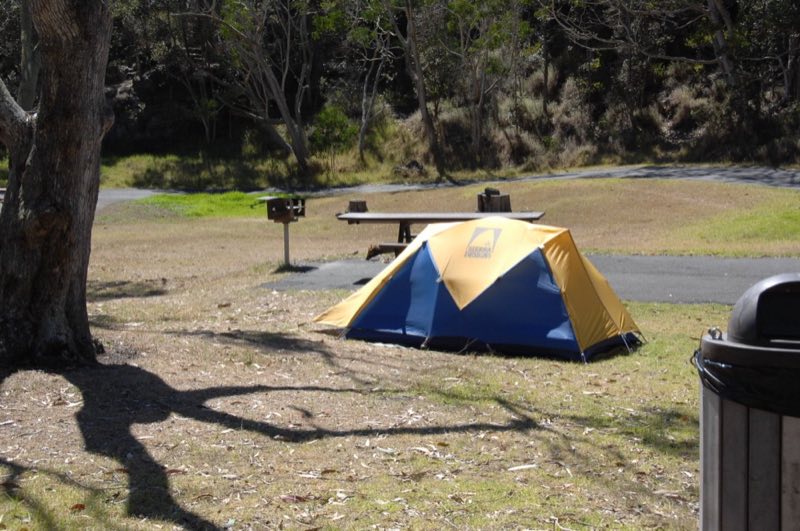
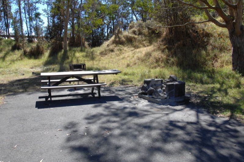
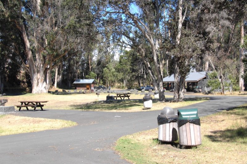
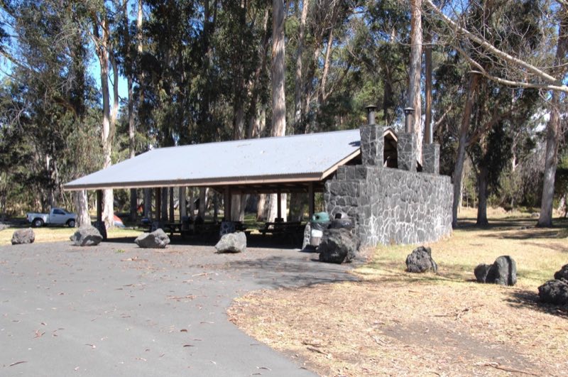
Photos: NPS/S.Geiger, NPS/S. Geiger · courtesy of National Park Service. Click a photo to enlarge.
Nāmakanipaio
Overview
Nāmakanipaio Campground is located 31.5 miles south of Hilo on Highway-11 at 4,000' elevation. It is a large, open grassy area with tall eucalyptus and 'ōhi'a trees. This campground has restrooms, water, picnic tables and barbecue pits. Campfires are permitted in the barbeque pits only.
- Operator
- National Park
- Camping types
- Tent
- Sites
- 16 campsites
- Fee
- From $15 per night (confirm with the operator)
- Reservations
- No online reservations listed
- Phone
- 866-536-7972
Amenities
Location
Nearby adventures
Hikes and trailheads
- Kīpukapuaulu Trail
A loop hike through a unique area of biological diversity with rare plants, birds, and old-growth trees. National Park Service
Show on map - Crater Rim Trail
Catch views of Kīlauea caldera, feel the breath of the volcano at Steaming Bluff (Wahinekapu), and walk through lush rainforest. National Park Service
Show on map - Haʻakulamanu via Sulphur Banks Trail
See where volcanic gases have deposited colorful crystals. National Park Service
Show on map - Halemaʻumaʻu Trail
Hike down to the floor of Kaluapele (Kīlauea caldera), with possible longer connections to Byron Ledge, Kīlauea Iki, and Nāhuku. National Park Service
Show on map - Kūpinaʻi Pali (Waldron Ledge)
Walk along an old road damaged by an earthquake in 1983 and get panoramic views of Kaluapele. National Park Service
Show on map - Keanakākoʻi
Walk along an old portion of Crater Rim Drive to Keanakāko'i Crater and views toward the massive Halemaʻumaʻu. National Park Service
Show on map
Scenic sights
- Uekahuna
A viewpoint along Crater Rim Trail.
Show on map - Kilauea Overlook
A viewpoint along Crater Rim Trail.
Show on map - Puu OhaleShow on map
- PuʻulalaʻauShow on map
- Lava TubeShow on map
Climbing and snow sports
- Kilauea Iki CraterShow on map
Trail and sight data: National Park Service and OpenStreetMap contributors (ODbL).
Reviews
Data sources
Listing details come from the sources above and may be out of date. Confirm fees, dates and closures with the operator before you travel.